Geological Mapping · mapping-4-7
Karst hill
Conical to steep-sided carbonate landform supports the karst geomorphology unit.
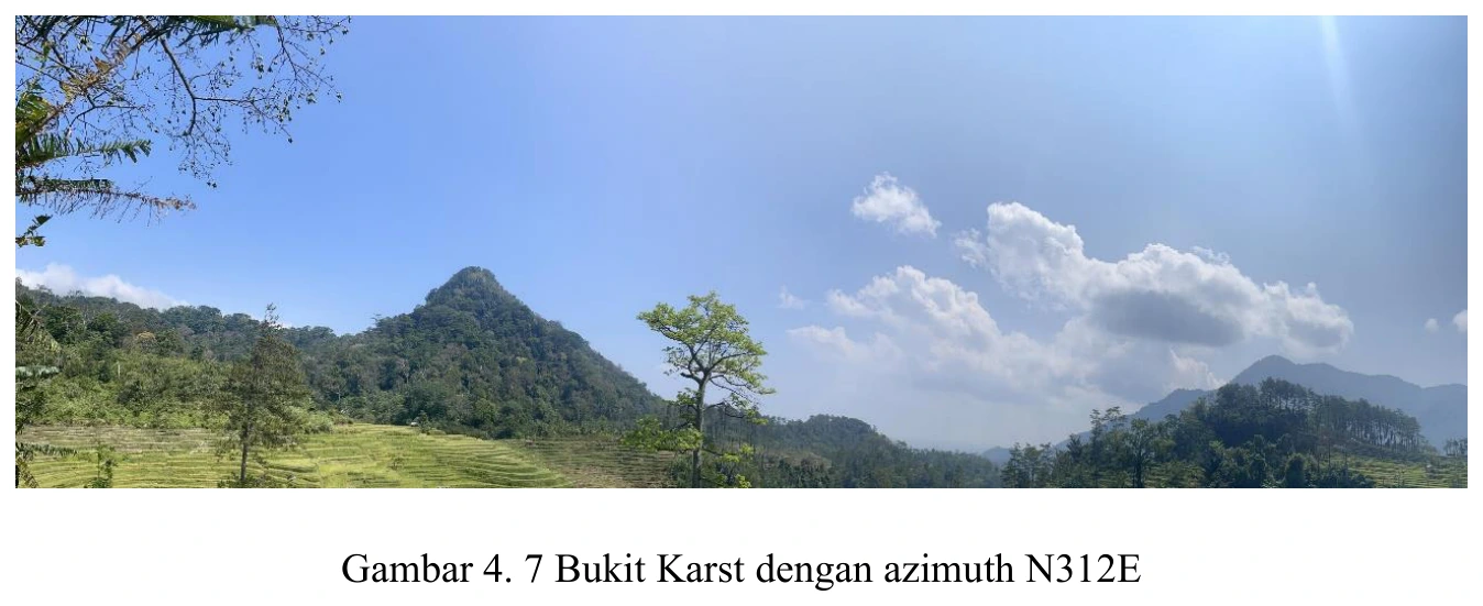
Figure content
Conical to steep-sided carbonate landform supports the karst geomorphology unit.
Interpretive role
Retain with LP/map linkage.
Technical context
Confirm that the hill overlies mapped limestone and has independent karst indicators such as caves, dissolution, closed depressions or underground drainage.
- Geomorphology
- Drainage analysis
- Terrain interpretation
Source record
PDF page 62 Original figure caption: Bukit Karst dengan azimuth N312E.
- Source
- PDF page 62
- Quality
- Source scan
- Record ID
- mapping-4-7