Geological Mapping · mapping-4-9
Ridge interpreted in an anticlinal setting
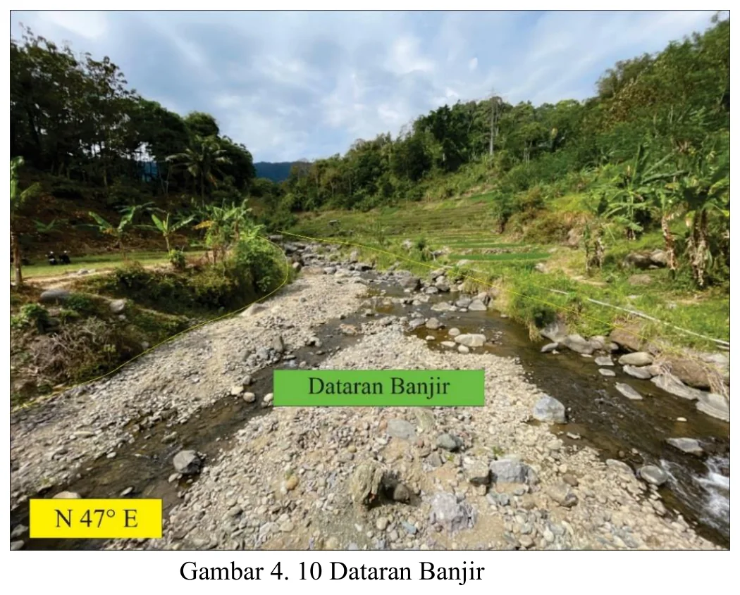
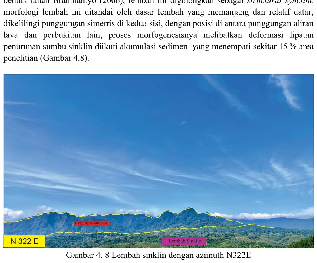
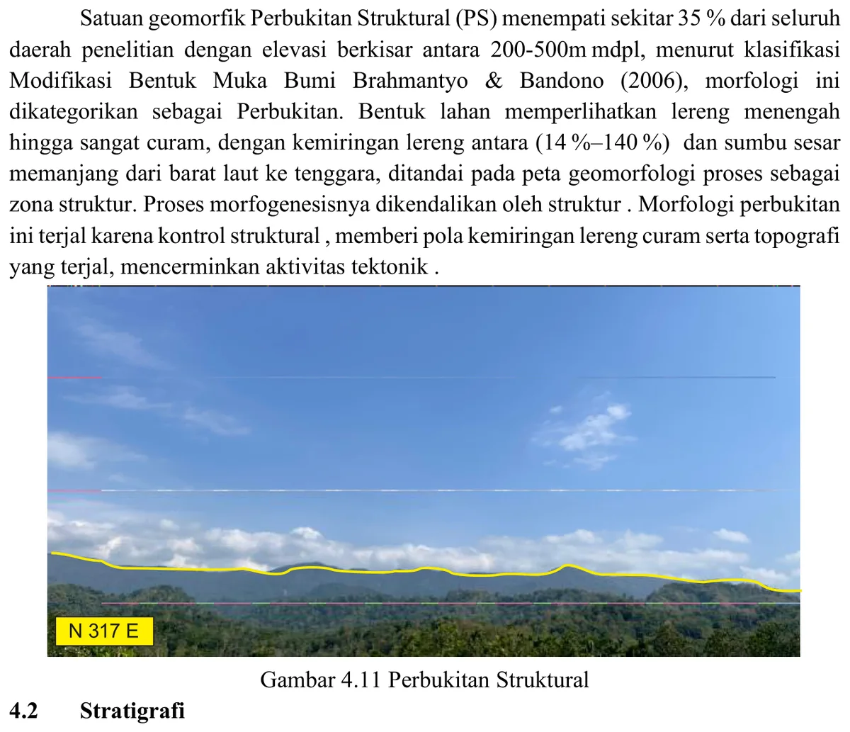
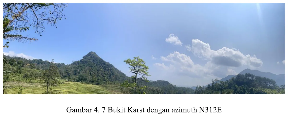
Landscape photograph is used to illustrate the ridge associated with the mapped anticline.
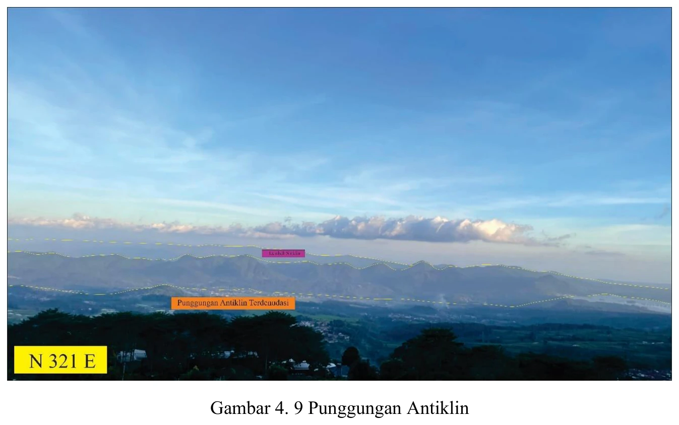
Figure content
Landscape photograph is used to illustrate the ridge associated with the mapped anticline.
Interpretive role
Retitle conservatively unless supported.
Technical context
Ridge morphology can result from resistant lithology; require bedding orientations and fold-axis control before genetic naming.
- Geomorphology
- Drainage analysis
- Terrain interpretation
Source record
PDF page 63 Original figure caption: Punggungan Antiklin.
- Source
- PDF page 63
- Quality
- Source scan
- Record ID
- mapping-4-9