Geological Mapping · mapping-4-6
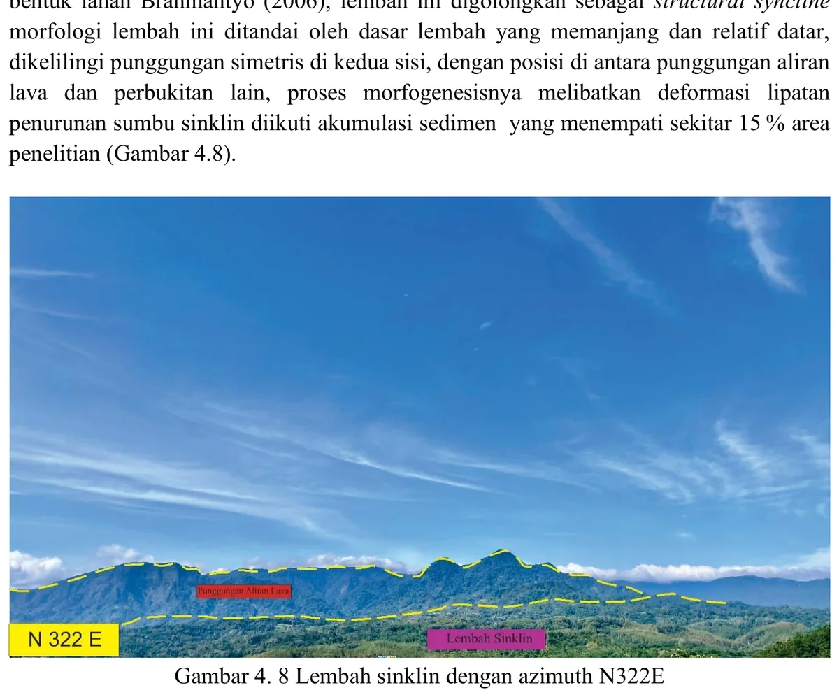
Ridge interpreted as lava-controlled landform
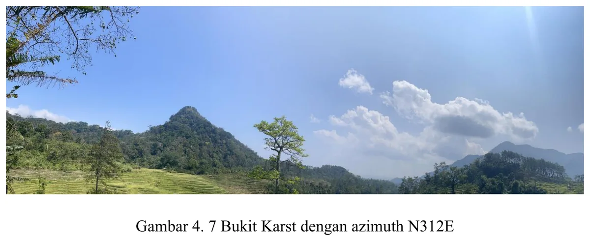
Landscape photograph supports the mapped volcanic geomorphology.
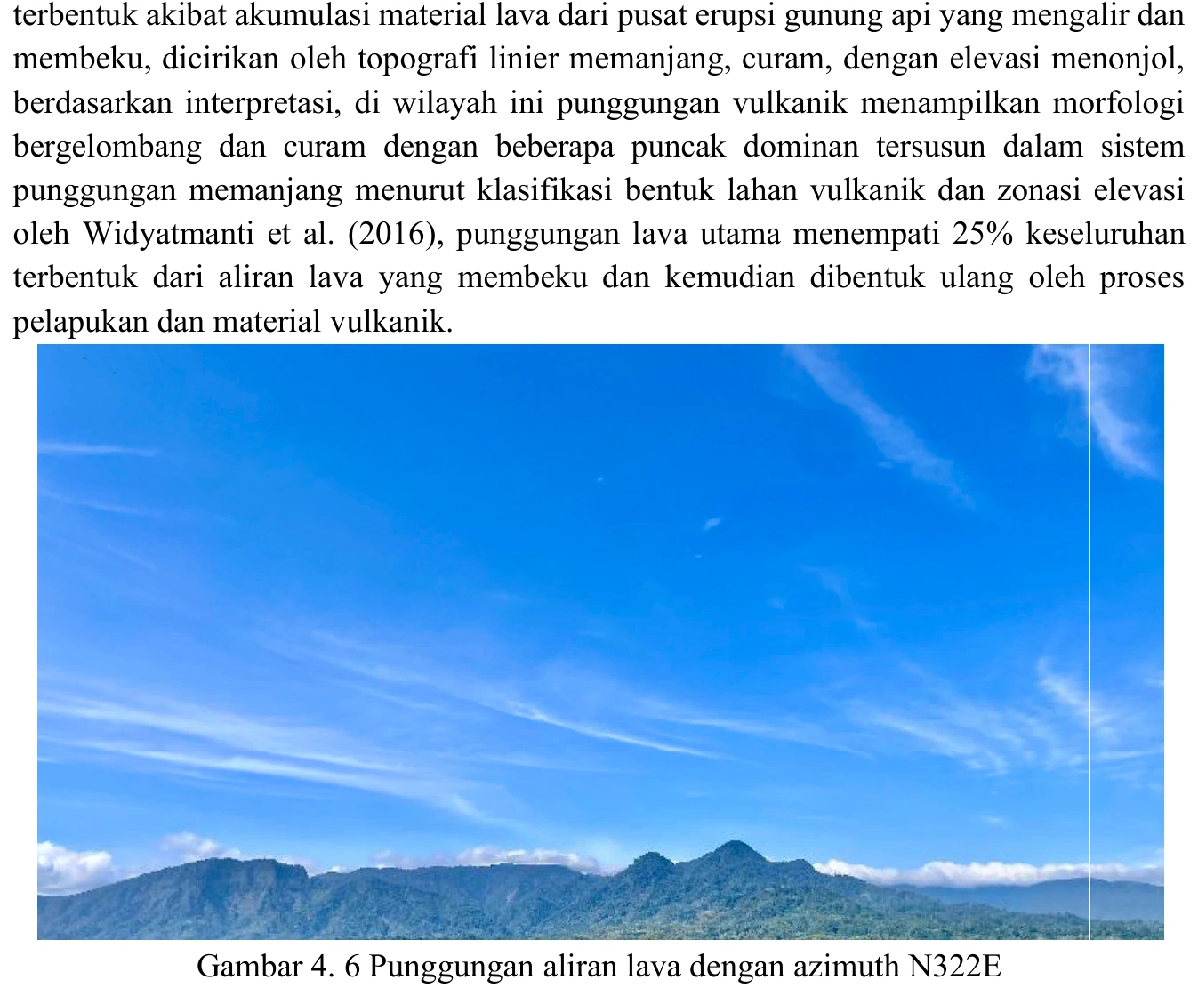
Figure content
Landscape photograph supports the mapped volcanic geomorphology.
Interpretive role
Rename conservatively unless field control is documented.
Technical context
The term lava-flow ridge requires mapped Kumbang volcanic rocks, field lithology and morphology consistent with resistant lava. A skyline alone is not diagnostic.
- Geomorphology
- Drainage analysis
- Terrain interpretation
Source record
PDF page 61 Original figure caption: Punggungan aliran lava dengan azimuth N322E.
- Source
- PDF page 61
- Quality
- Standard
- Record ID
- mapping-4-6