Geological Mapping · mapping-4-8
Valley interpreted in a synclinal setting
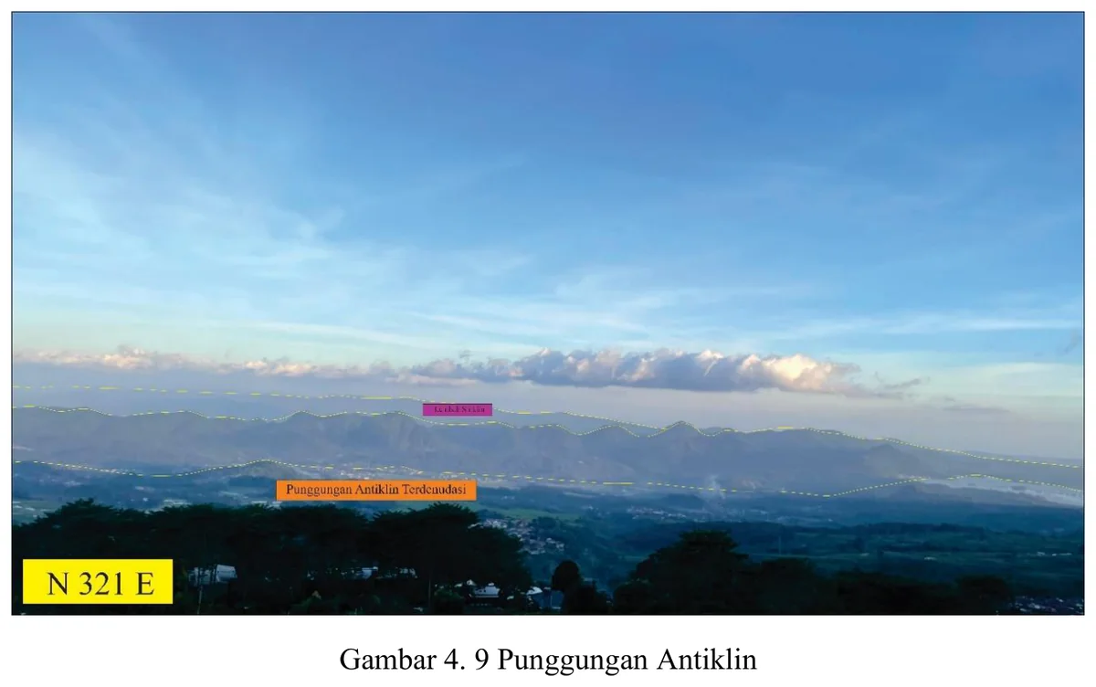
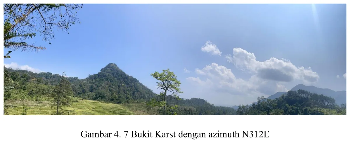
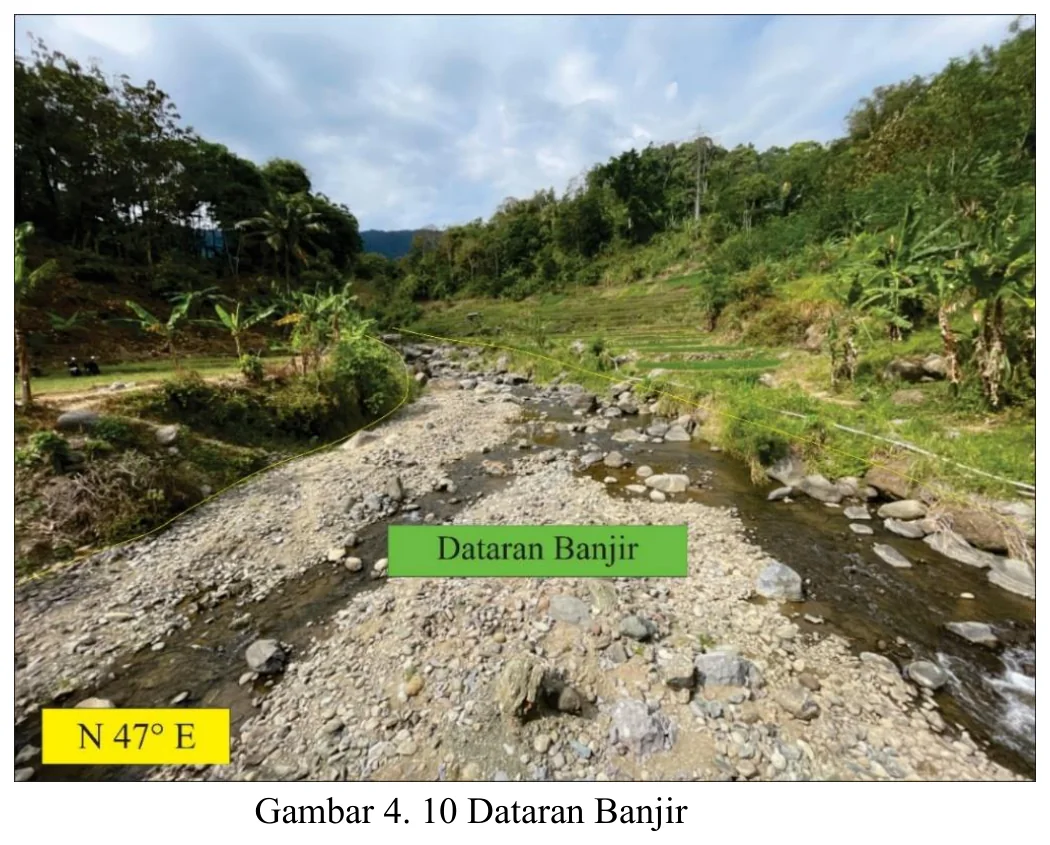
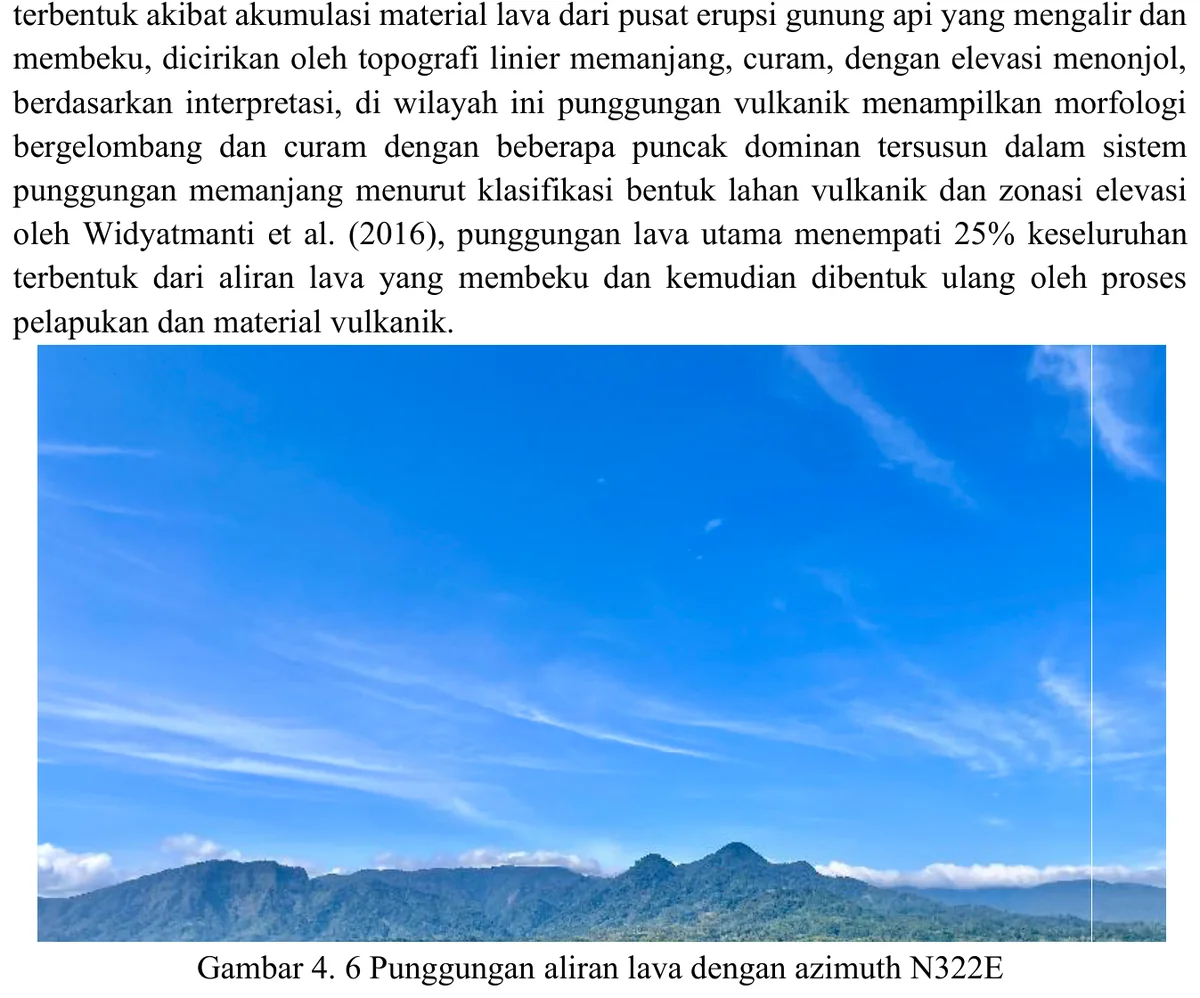
Landscape photograph provides geomorphic context for the mapped fold.
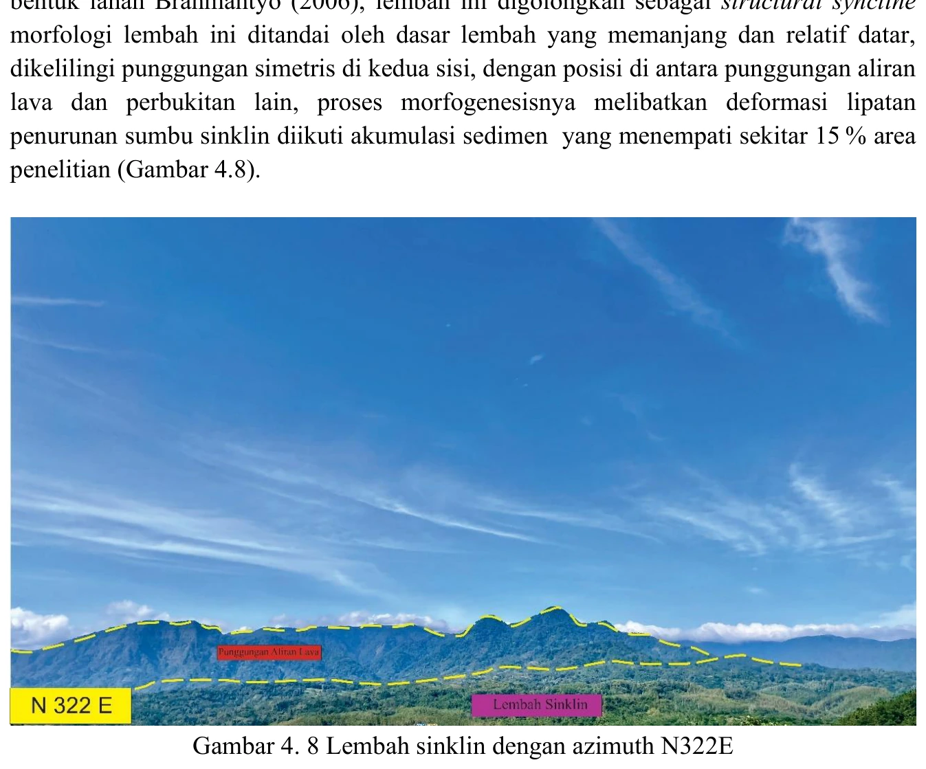
Figure content
Landscape photograph provides geomorphic context for the mapped fold.
Interpretive role
Retitle as valley in mapped syncline area unless structural data are shown.
Technical context
A valley shape does not prove a syncline. Require opposing dips, fold-axis analysis and cross-section consistency.
- Geomorphology
- Drainage analysis
- Terrain interpretation
Source record
PDF page 62 Original figure caption: Lembah sinklin dengan azimuth N322E.
- Source
- PDF page 62
- Quality
- Standard
- Record ID
- mapping-4-8