Geological Mapping · mapping-4-3
Documented landslide localities
Photographs record slope failures at several villages and connect geomorphic mapping with field evidence.
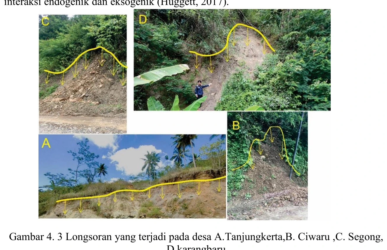
Figure content
Photographs record slope failures at several villages and connect geomorphic mapping with field evidence.
Interpretive role
Retain as field hazard documentation.
Technical context
Each panel needs location, failure type, material, scarp geometry, trigger and date. The montage cannot support a regional causal claim without inventory statistics.
- Geomorphology
- Drainage analysis
- Terrain interpretation
Source record
PDF page 57 Original figure caption: Longsoran yang terjadi pada desa A.Tanjungkerta,B. Ciwaru ,C. Segong.
- Source
- PDF page 57
- Quality
- Source scan
- Record ID
- mapping-4-3