ArcGIS Pro · 05 · Map production
Selecting and checking mapped features
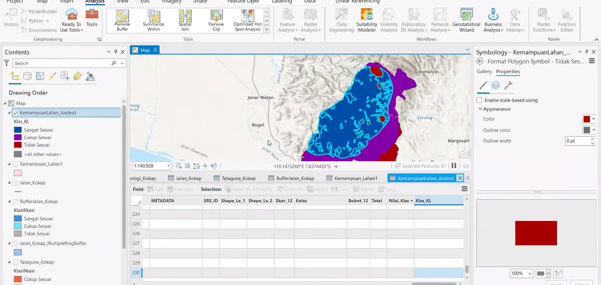
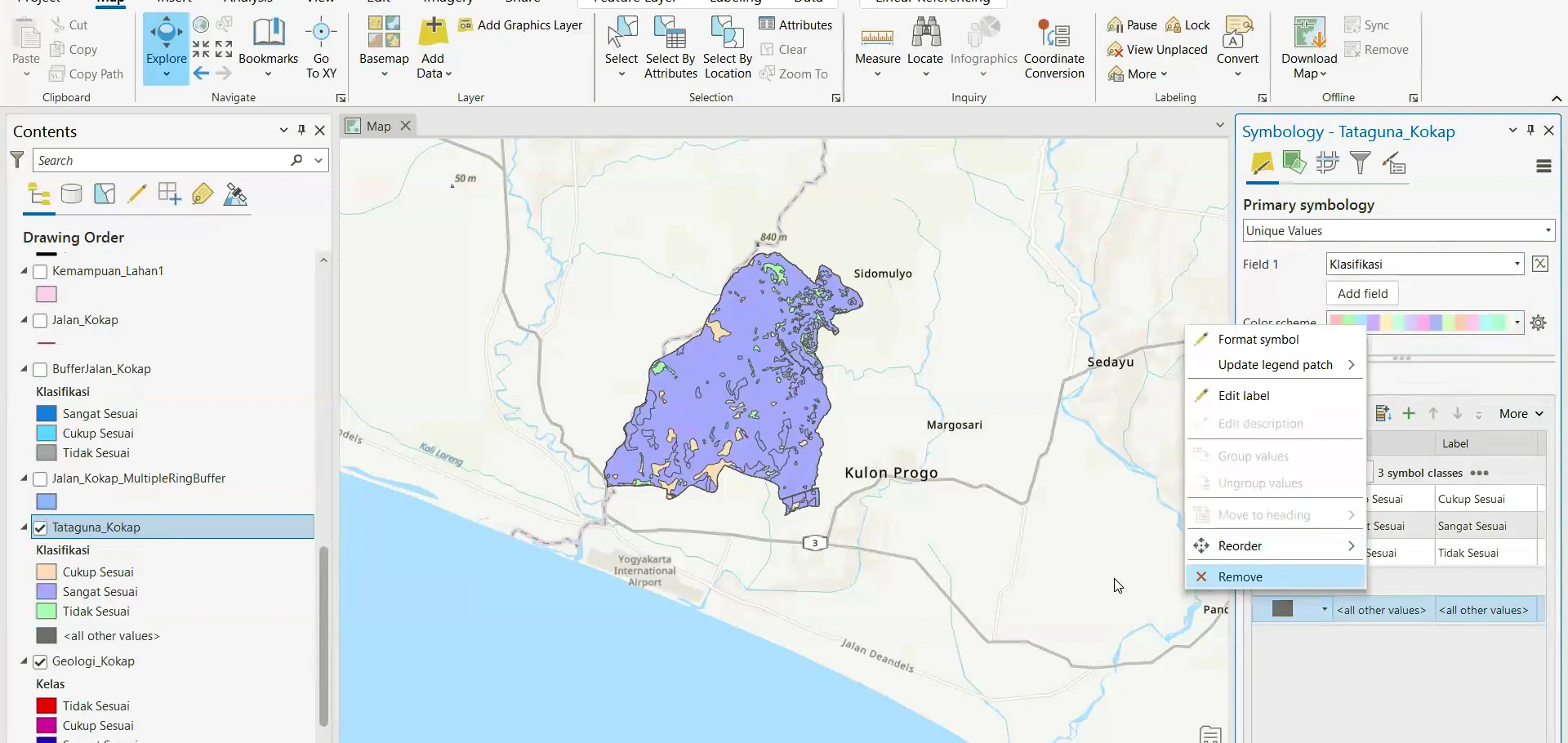
Stage 05 of the ArcGIS Pro sequence: geological features are selected and inspected against the basemap to confirm their extent, identity and spatial relationship with neighbouring units.
Process stage
Geological features are selected and inspected against the basemap to confirm their extent, identity and spatial relationship with neighbouring units.
Technical reading
The selected features can then be edited, queried or passed into the next geoprocessing step.
Role in the modelling sequence
Feature selection, spatial inspection and editing control.
- ArcGIS Pro
- GIS workflow
- Cartographic output
Source record
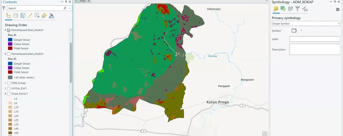
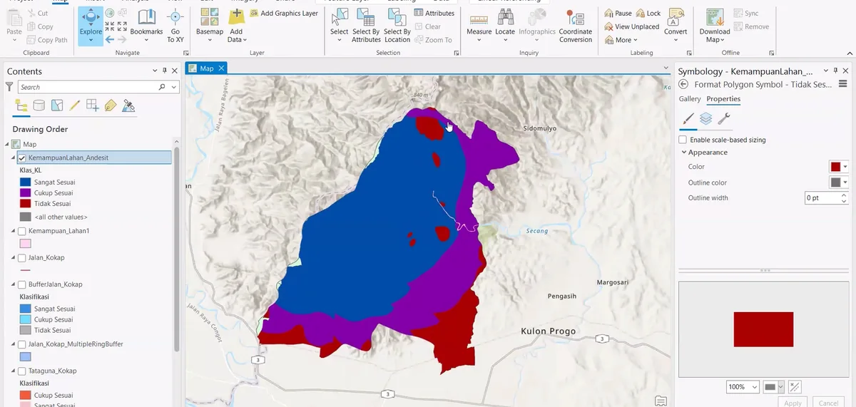
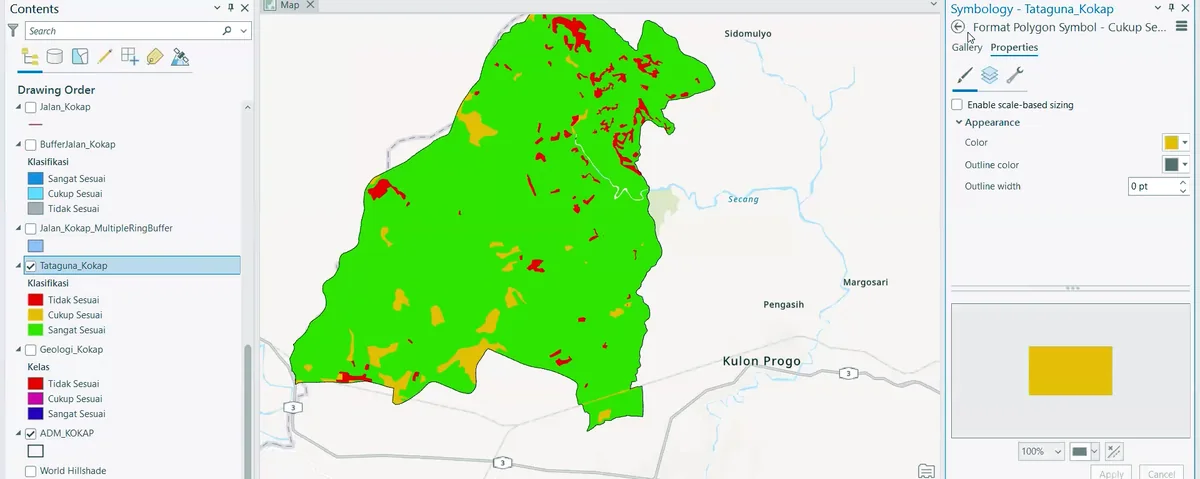
Original figure caption: Geoprocessing and feature selection.
- Source
- Source image or document
- Quality
- HD
- Record ID
- arcgis-212704