ArcGIS Pro · 06 · Map production
Refining colours and boundary contrast
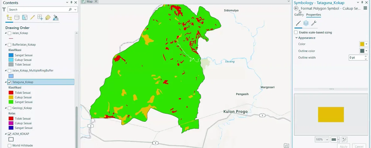
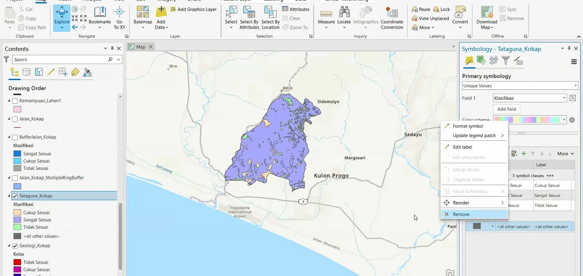
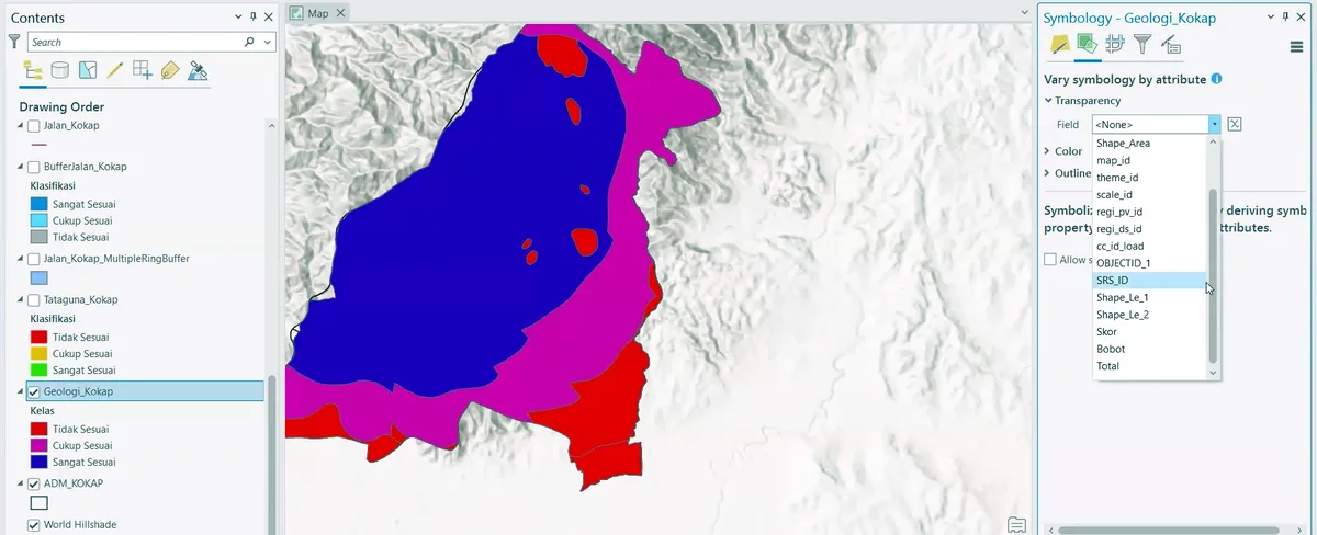
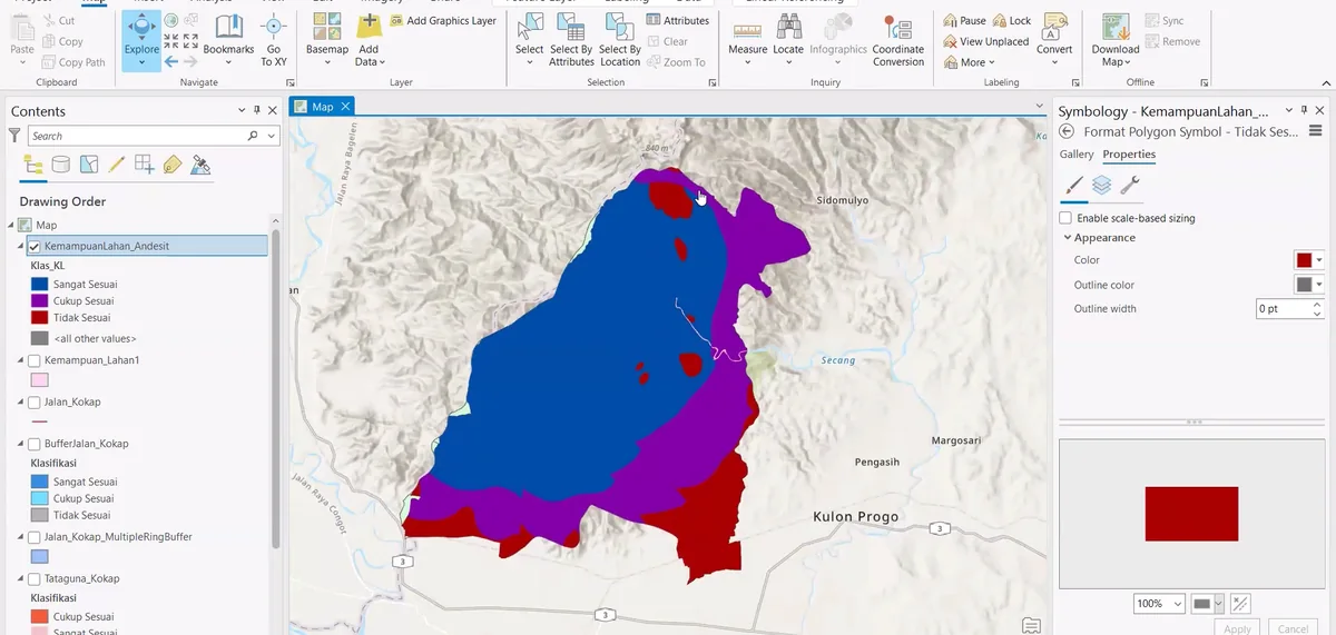
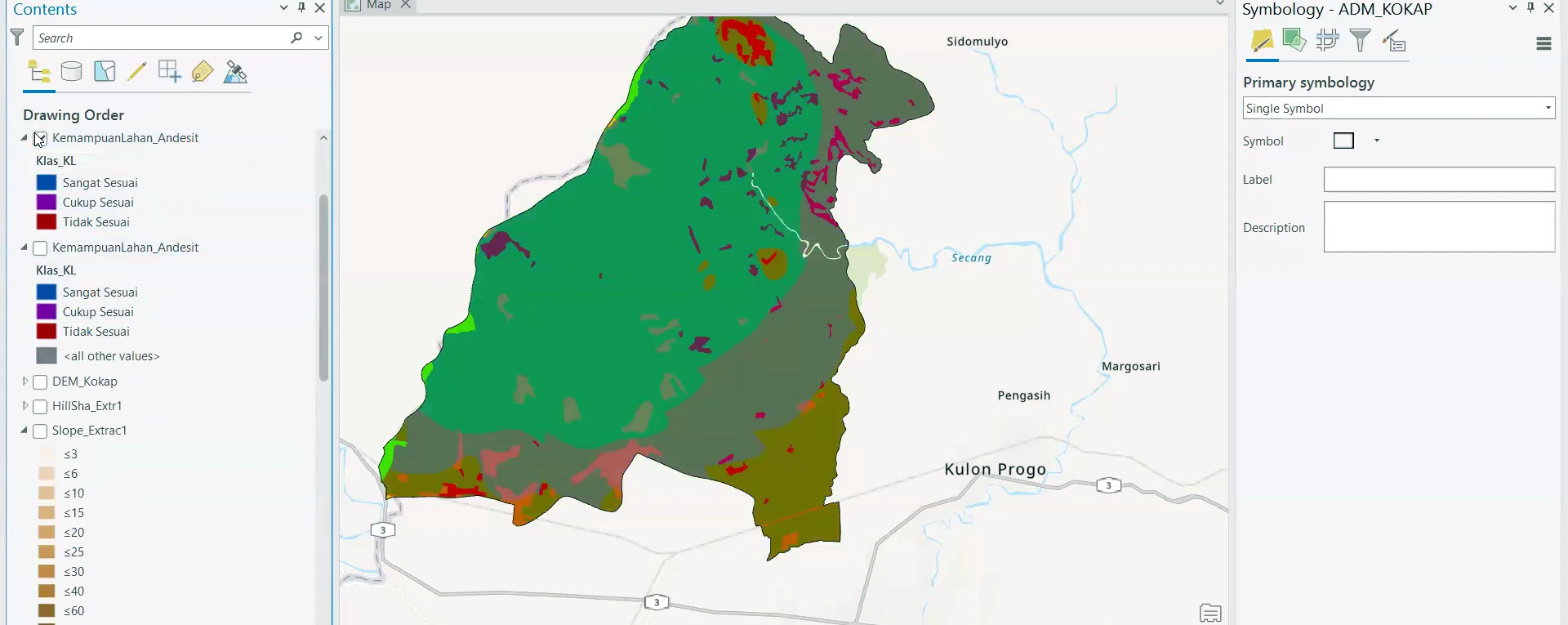
Stage 06 of the ArcGIS Pro sequence: the mapped units are displayed with a revised colour hierarchy and contrasting boundaries to improve separation between formations.
Process stage
The mapped units are displayed with a revised colour hierarchy and contrasting boundaries to improve separation between formations.
Technical reading
The map is being prepared for technical review, where unit contacts and internal features must remain readable at publication scale.
Role in the modelling sequence
Cartographic refinement and geological-unit legibility.
- ArcGIS Pro
- GIS workflow
- Cartographic output
Source record
Original figure caption: Cartographic refinement.
- Source
- Source image or document
- Quality
- HD
- Record ID
- arcgis-212734