ArcGIS Pro · 04 · Data preparation
Editing symbol properties for selected units
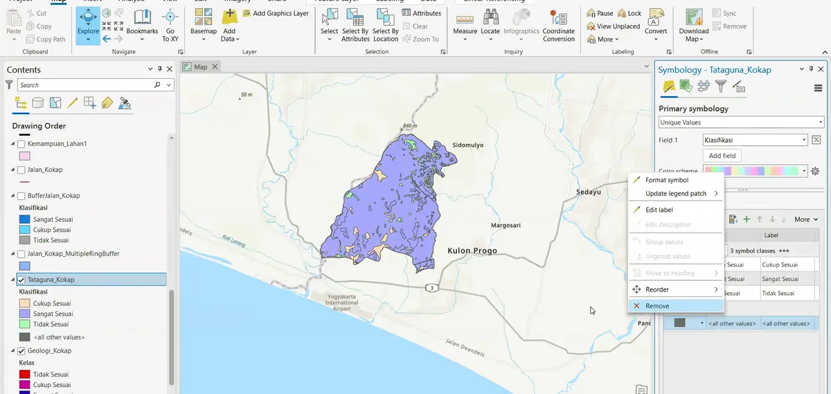
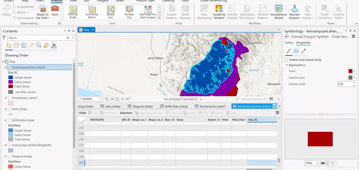
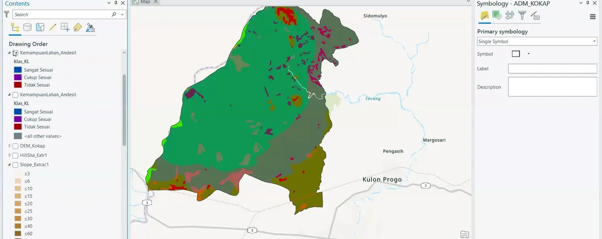
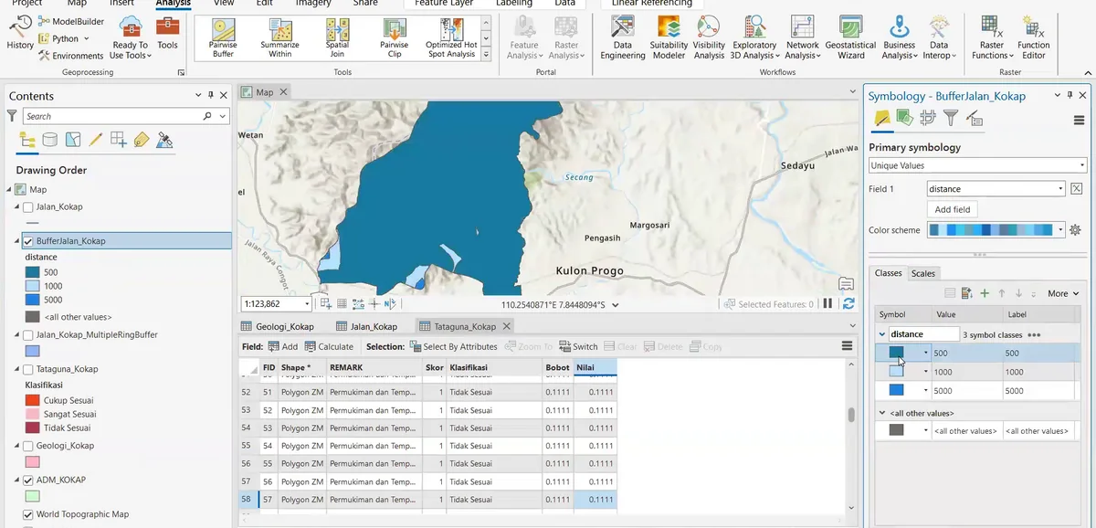
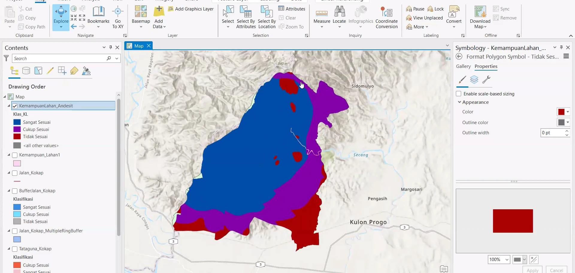
Stage 04 of the ArcGIS Pro sequence: symbol properties are adjusted for individual geological classes while the mapped polygons remain visible against the terrain base.
Process stage
Symbol properties are adjusted for individual geological classes while the mapped polygons remain visible against the terrain base.
Technical reading
This stage refines visual hierarchy without changing the geological geometry.
Role in the modelling sequence
Class-level symbol editing and map readability.
- ArcGIS Pro
- GIS workflow
- Cartographic output
Source record
Original figure caption: Spatial overlay preparation.
- Source
- Source image or document
- Quality
- HD
- Record ID
- arcgis-212420