Maptek Vulcan · 01 · Geological modelling
Project and terrain context
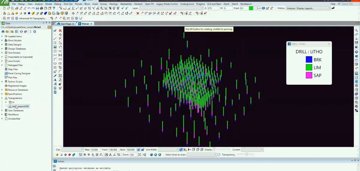
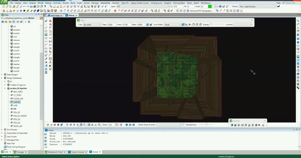
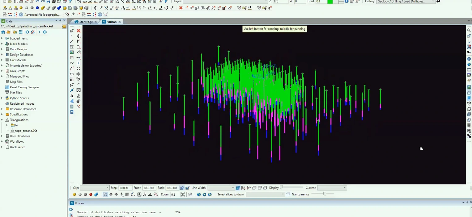
Stage 01 of the Maptek Vulcan sequence: the geological interpretation is placed against the topographic surface to verify its position, extent and relationship with the ground surface.
Process stage
The geological interpretation is placed against the topographic surface to verify its position, extent and relationship with the ground surface.
Technical reading
Topographic integration constrains the upper model boundary and prevents interpreted domains from extending unrealistically above terrain.
Role in the modelling sequence
Topographic integration and surface-boundary control.
- Vulcan
- 3D modelling
- Geological workflow
Source record
Original figure caption: Project and terrain context.
- Source
- Source image or document
- Quality
- Standard
- Record ID
- vulcan-080703