Pit N Thesis · thesis-4-41
Pit N topography and three-dimensional topographic model
Topographic data are displayed as the surface control for the three-dimensional model.
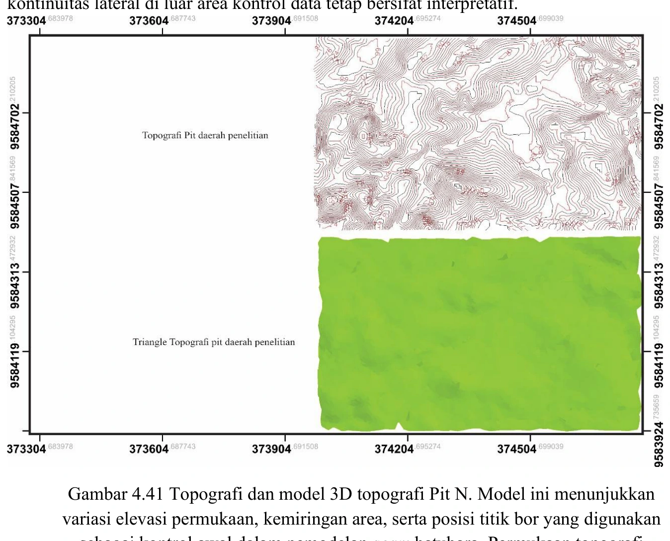
Figure content
Topographic data are displayed as the surface control for the three-dimensional model.
Interpretive role
Verify source, resolution, datum, boundary and consistency with borehole collars.
Technical context
Upper-boundary control for geological modelling.
- 3D geological modelling
- Surface validation
- Spatial QA
Source record
PDF page 176 Original figure caption: Topografi dan model 3D topografi Pit N. Model ini menunjukkan variasi elevasi permukaan, kemiringan area, serta posisi titik bor yang digunakan.
- Source
- PDF page 176
- Quality
- Source scan
- Record ID
- thesis-4-41