GEOVIA Surpac · 02 · Geological modelling
Drillhole visualization
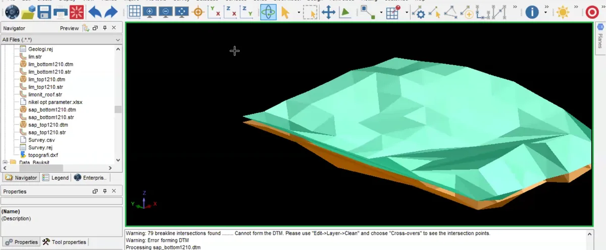
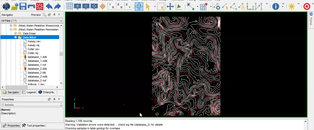
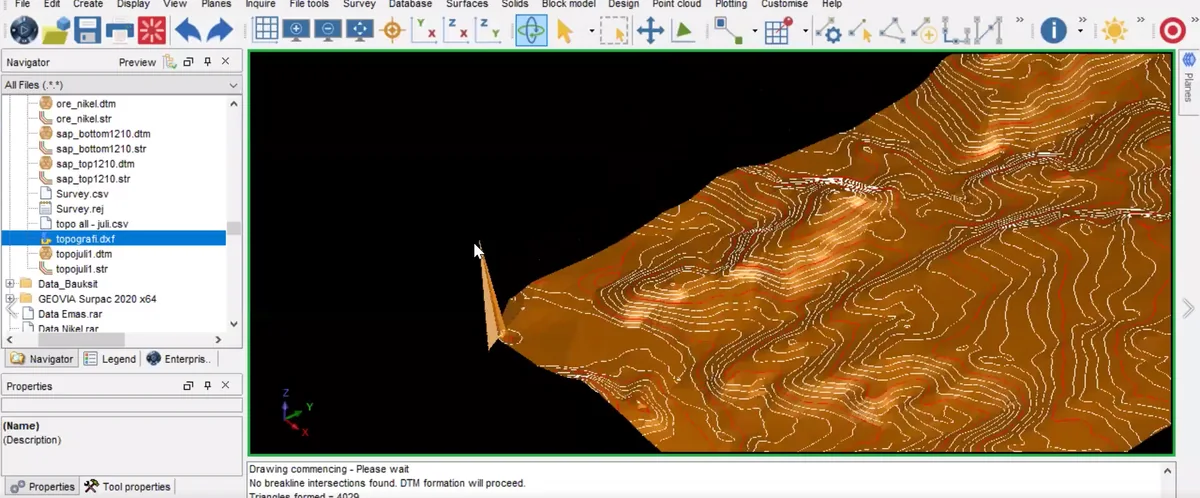
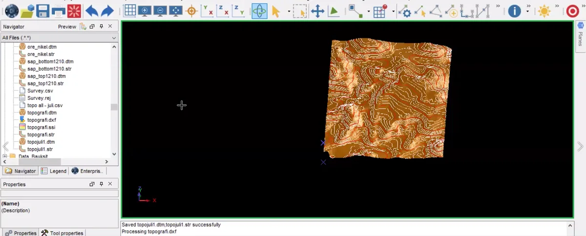
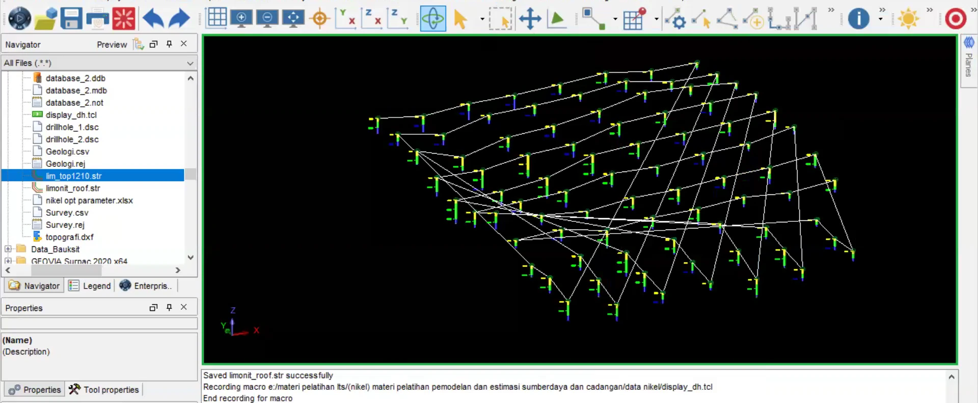
Stage 02 of the GEOVIA Surpac sequence: drillholes and their coded intervals are displayed in three dimensions to confirm collar positions, trace orientation and the spatial distribution of geological control.
Process stage
Drillholes and their coded intervals are displayed in three dimensions to confirm collar positions, trace orientation and the spatial distribution of geological control.
Technical reading
The display establishes the primary control used to build sections, interpretation strings and geological domains.
Role in the modelling sequence
Drillhole-data visualisation and three-dimensional control review.
- Surpac
- 3D data review
- Mine-geology workflow
Source record
Original figure caption: Drillhole visualization.
- Source
- Source image or document
- Quality
- HD
- Record ID
- surpac-221244