MineScape · 01 · Topographic control
Topographic control for the geological model
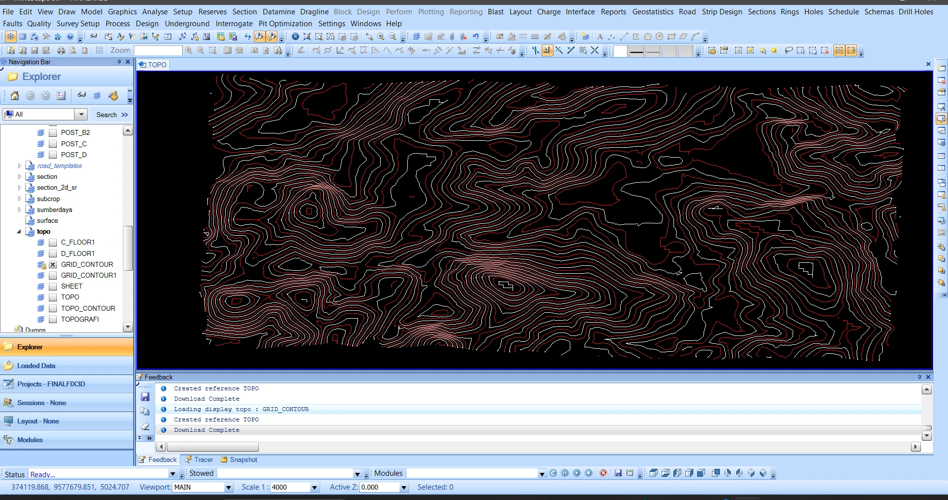
The TOPO view displays the contour network used to establish elevation control and the upper boundary of the seam model.
Process stage
The TOPO view displays the contour network used to establish elevation control and the upper boundary of the seam model.
Technical reading
Contour data are checked before topographic triangulation and seam-surface integration.
Role in the modelling sequence
Input control and topographic preparation.
- MineScape
- Geological modelling
- Model inspection
Source record
Original figure caption: Project and dataset initialization.
- Source
- Source image or document
- Quality
- HD
- Record ID
- minescape-092702