ArcGIS Pro · 02 · Data preparation
Assigning geological-unit symbology
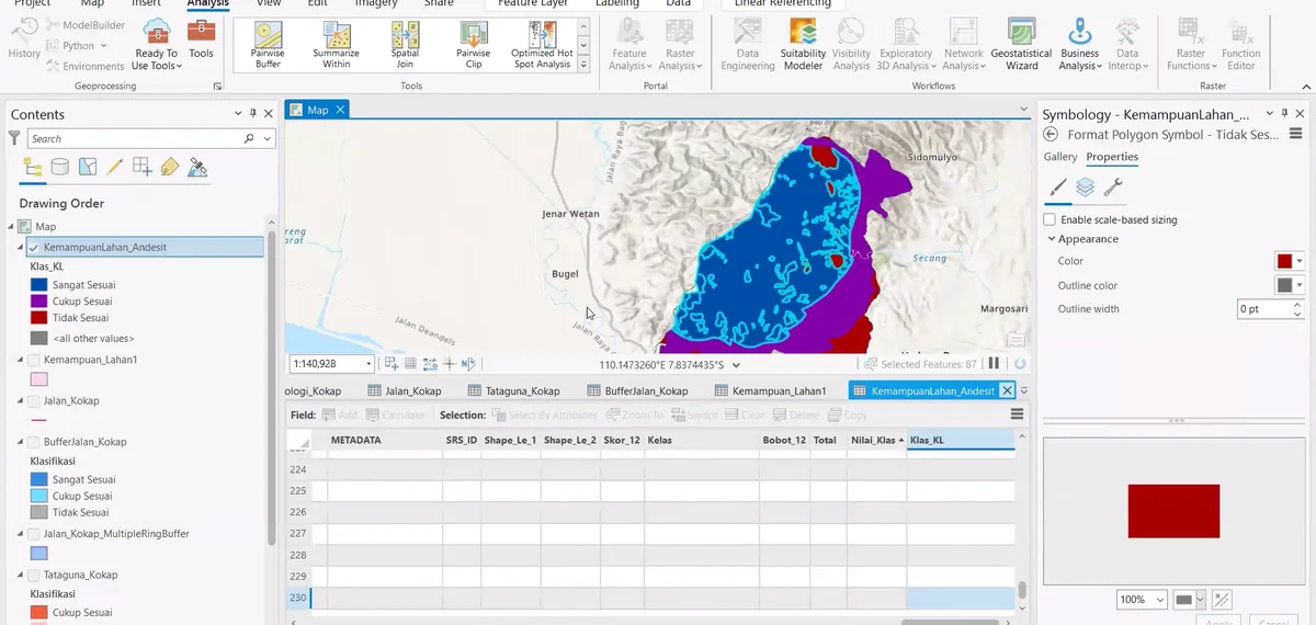
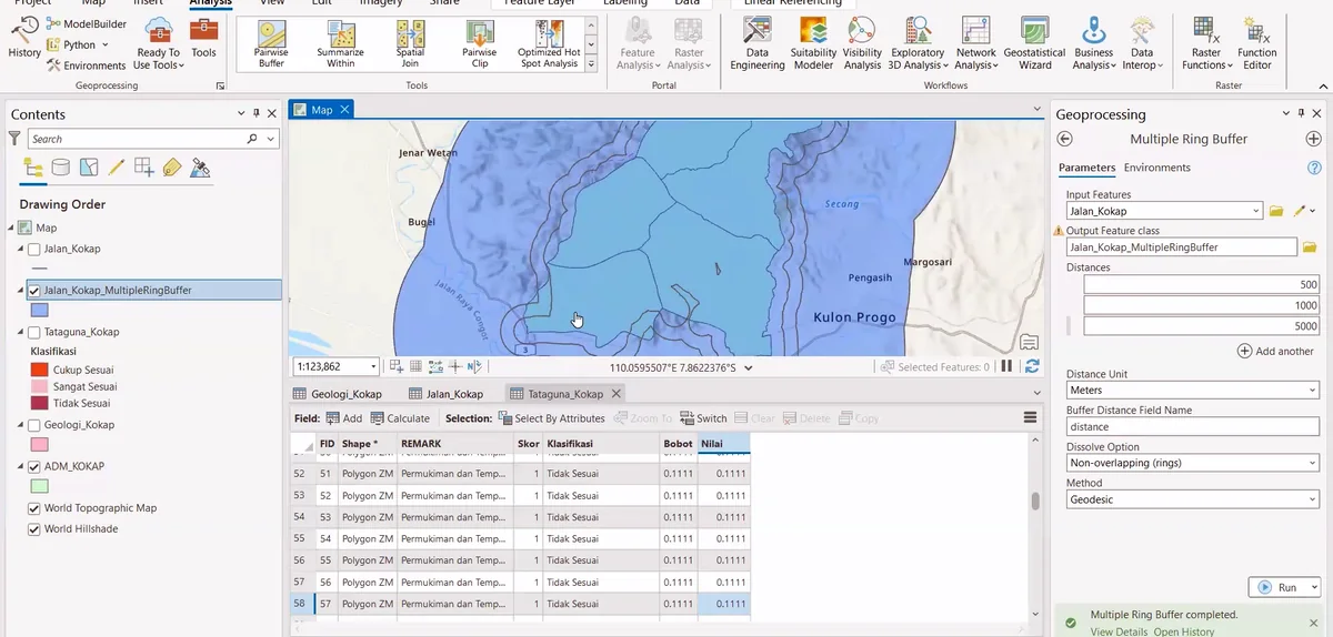
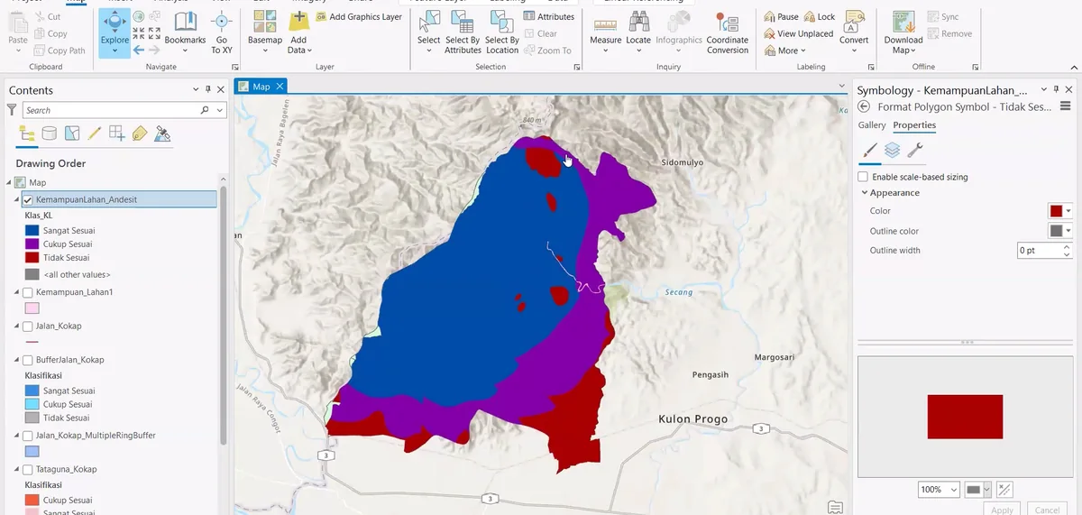
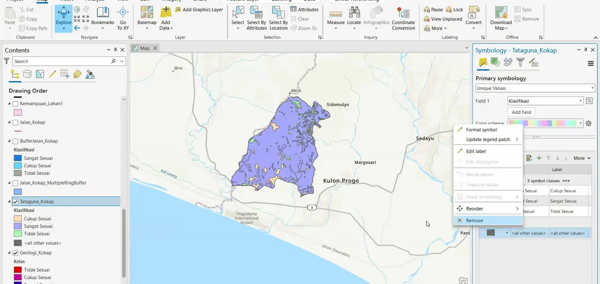
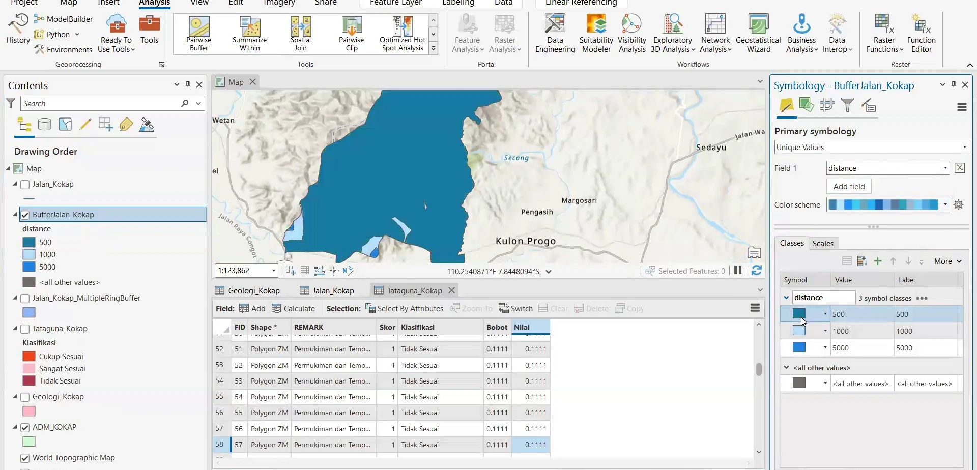
Stage 02 of the ArcGIS Pro sequence: a selected polygon layer is symbolised from its geological attribute, with fill colour and class settings adjusted in the Symbology pane.
Process stage
A selected polygon layer is symbolised from its geological attribute, with fill colour and class settings adjusted in the Symbology pane.
Technical reading
The operation converts coded map units into a legible geological colour scheme while preserving the underlying attributes.
Role in the modelling sequence
Unique-value symbology and geological map classification.
- ArcGIS Pro
- GIS workflow
- Cartographic output
Source record
Original figure caption: Geological-unit symbology.
- Source
- Source image or document
- Quality
- HD
- Record ID
- arcgis-212306