ArcGIS Pro · 01 · Data preparation
Inspecting mapped polygons and attributes
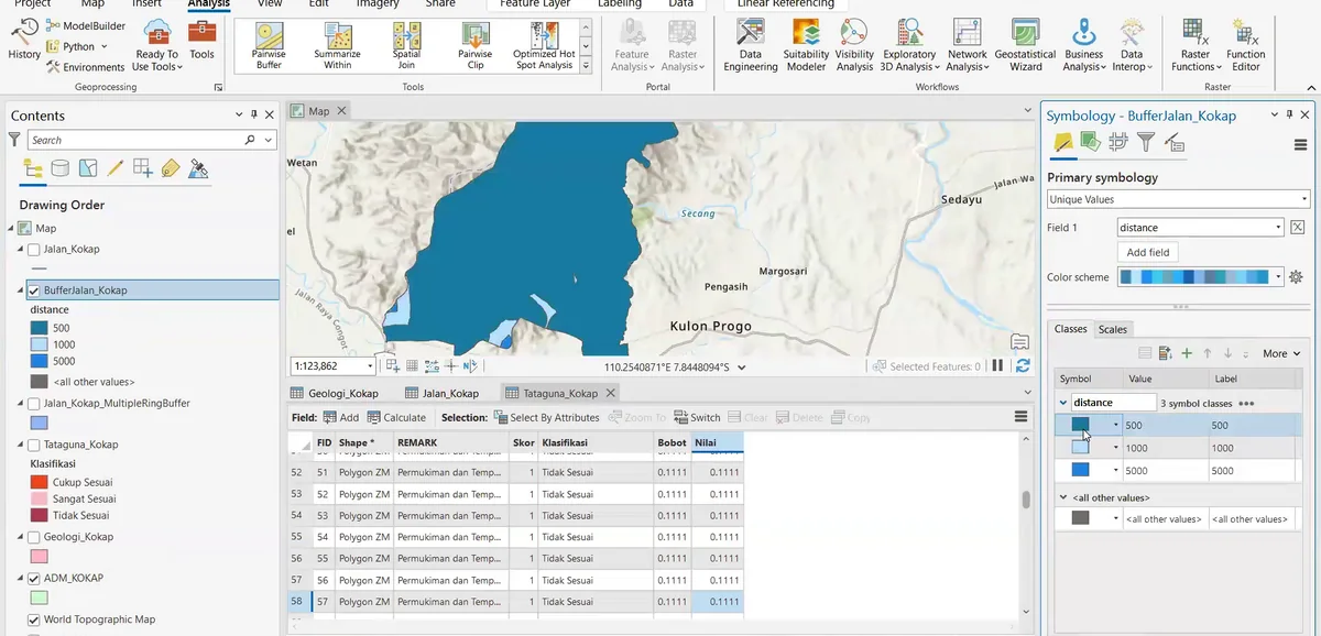
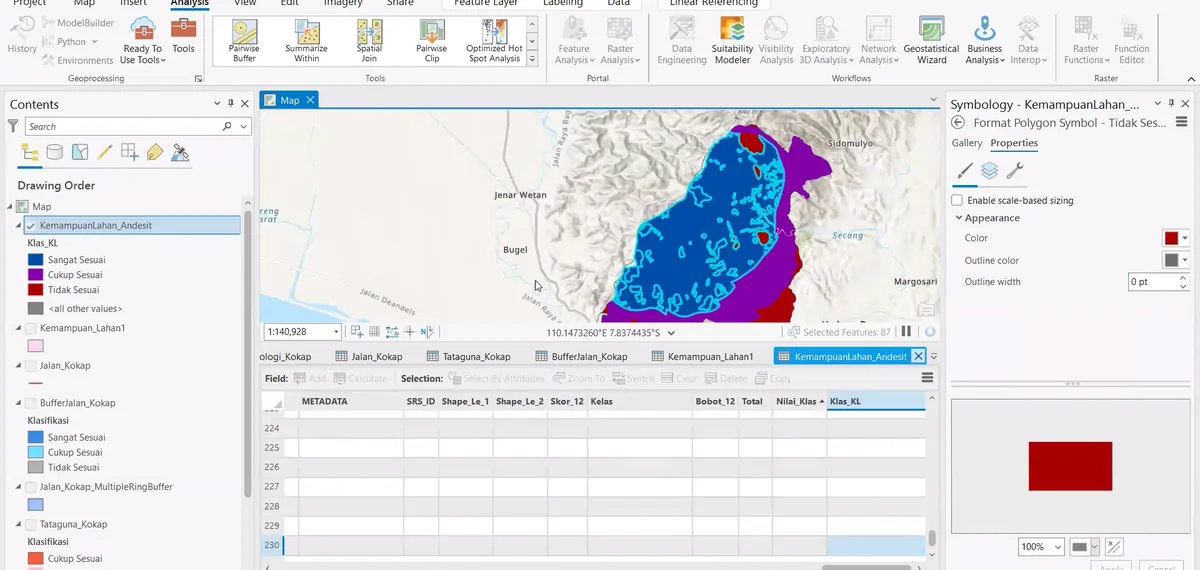
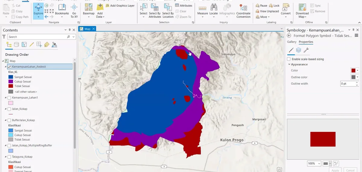
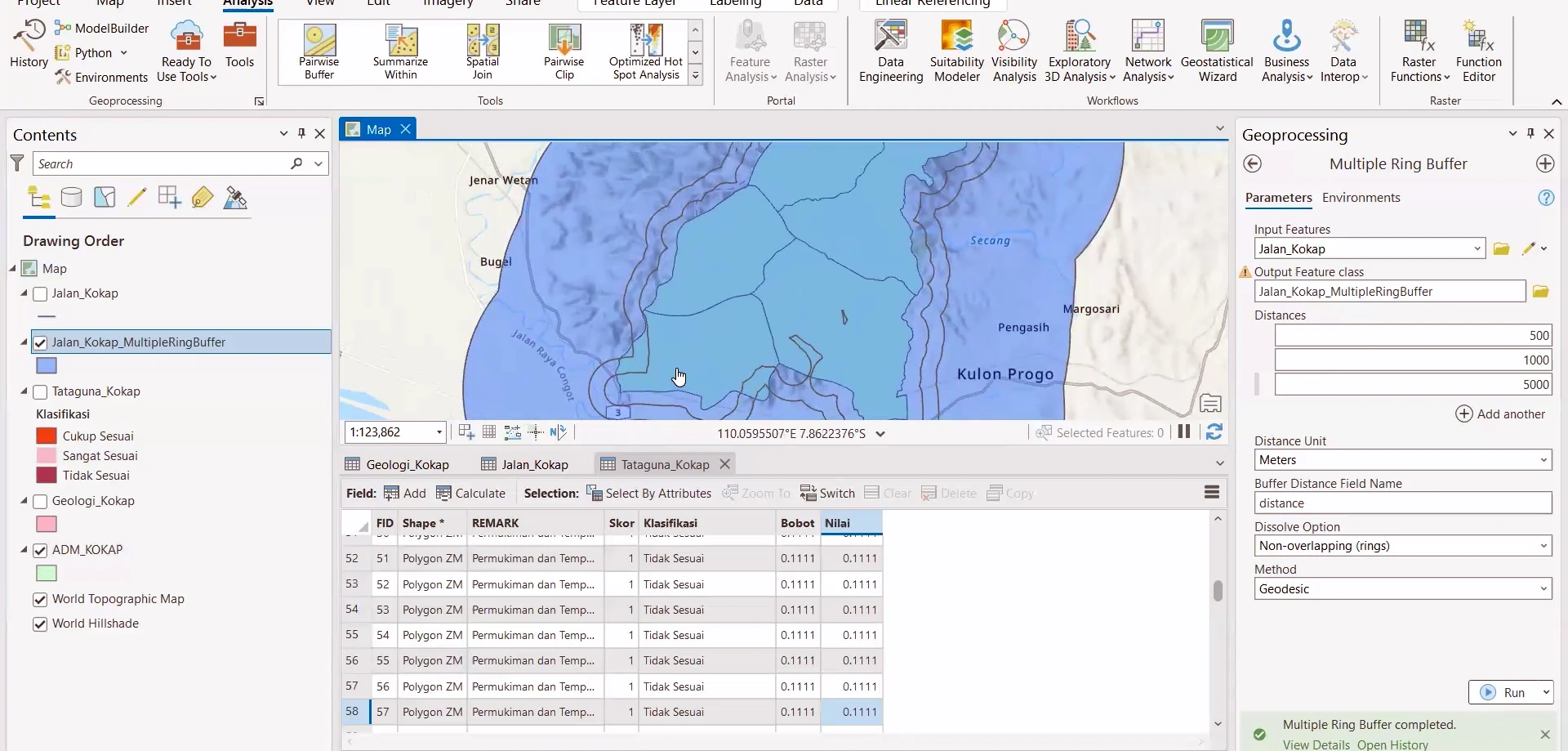
Stage 01 of the ArcGIS Pro sequence: the map, layer list and attribute table are reviewed together to confirm polygon identity, field values and layer order before symbol assignment.
Process stage
The map, layer list and attribute table are reviewed together to confirm polygon identity, field values and layer order before symbol assignment.
Technical reading
This establishes a clean attribute basis for geological-unit classification and subsequent cartographic editing.
Role in the modelling sequence
Layer inspection, attribute control and GIS data organisation.
- ArcGIS Pro
- GIS workflow
- Cartographic output
Source record
Original figure caption: Layer organization and data inspection.
- Source
- Source image or document
- Quality
- HD
- Record ID
- arcgis-212244