minescape-092702
Topographic control for the geological model
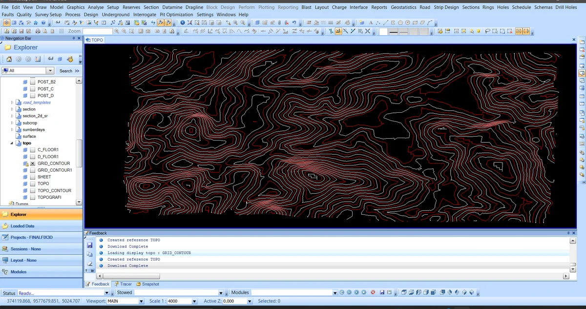
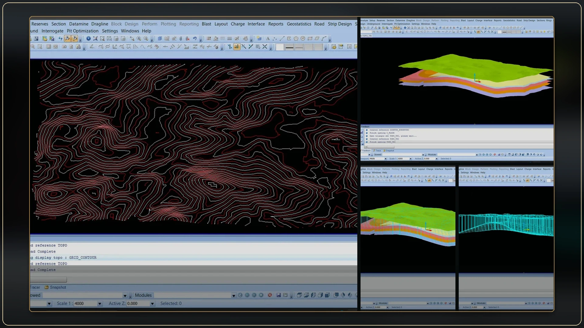
The TOPO view displays the contour network used to establish elevation control and the upper boundary of the seam model.
ALBUM
All 5 records are shown below.
The TOPO view displays the contour network used to establish elevation control and the upper boundary of the seam model.
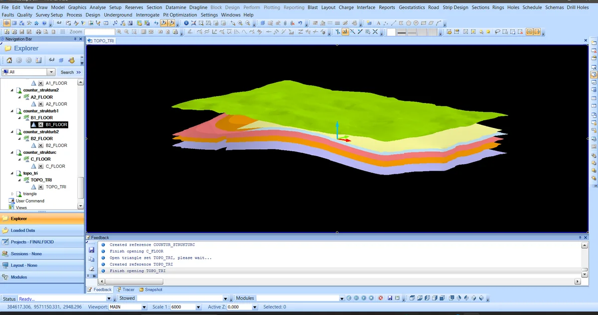
Topography and the interpreted floors of Seams A2, B1, B2 and C are displayed together to inspect stratigraphic order and lateral geometry.
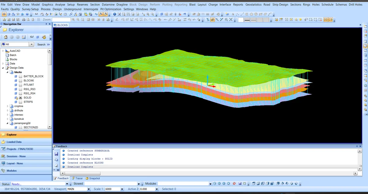
Vertical cells are generated between the model boundaries, converting the surface interpretation into a spatial framework that can carry geological attributes.
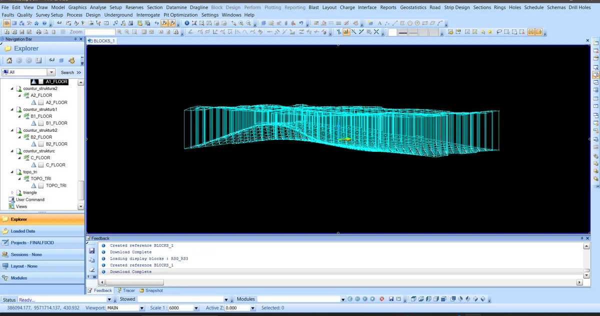
The wireframe exposes cell arrangement, lateral extent and vertical conformity to the model boundaries.
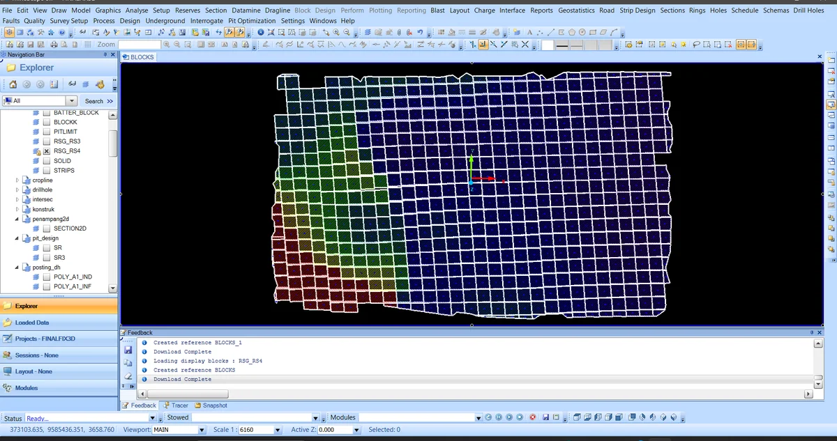
The plan view shows colour-separated cell domains alongside the controlling polygon objects.