Target roles
Junior / Mine Geologist · Exploration & Field Geologist · Subsurface / Formation-Evaluation Support · Geological Modelling & GIS Support

Muhammad Rafi Al Hawari · Geological Engineering
An evidence-led portfolio spanning mining and coal geology, systematic field mapping, oil-and-gas subsurface interpretation, geothermal exposure, GIS, structural and geotechnical analysis, research and digital geological modelling.
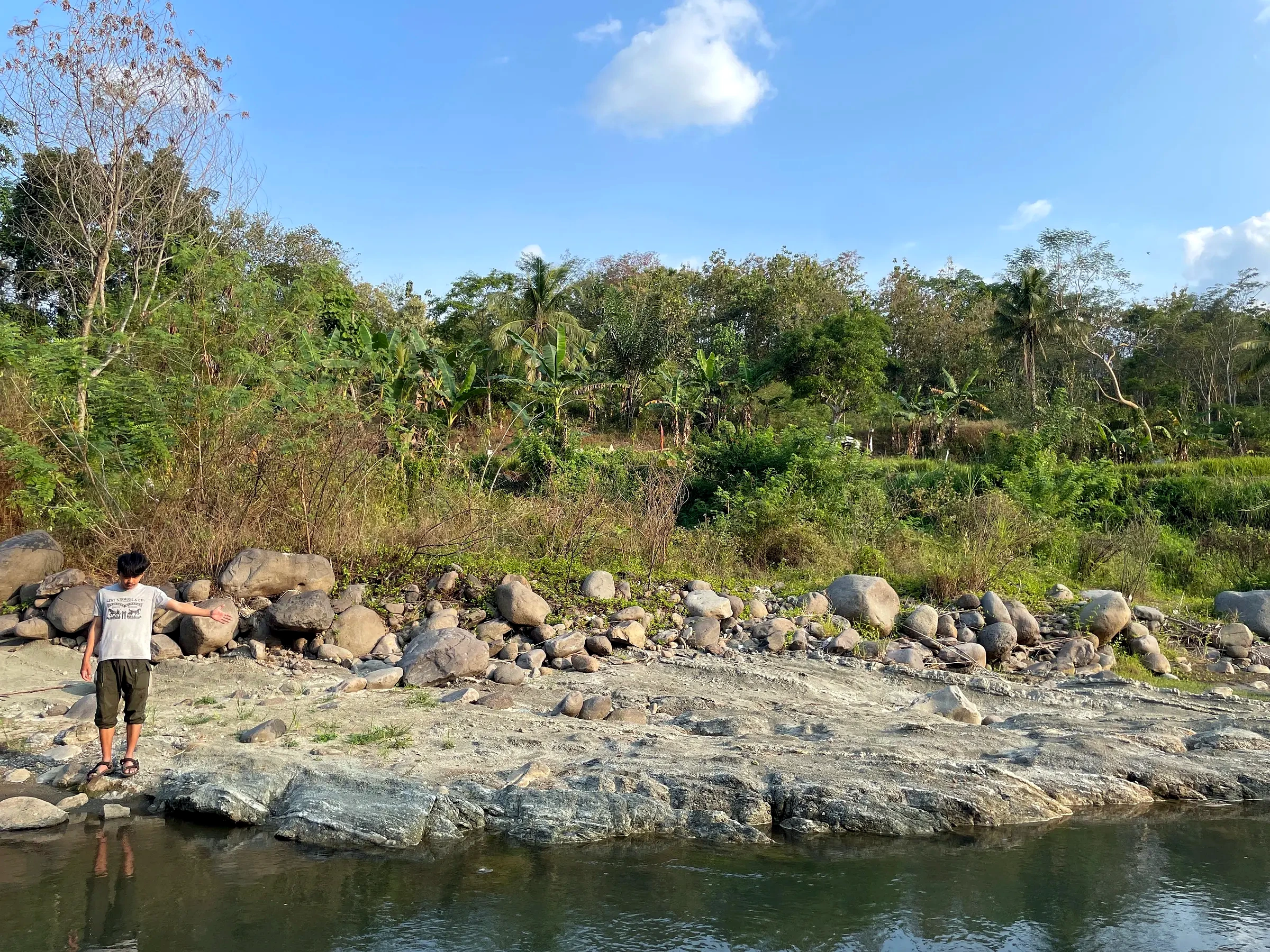
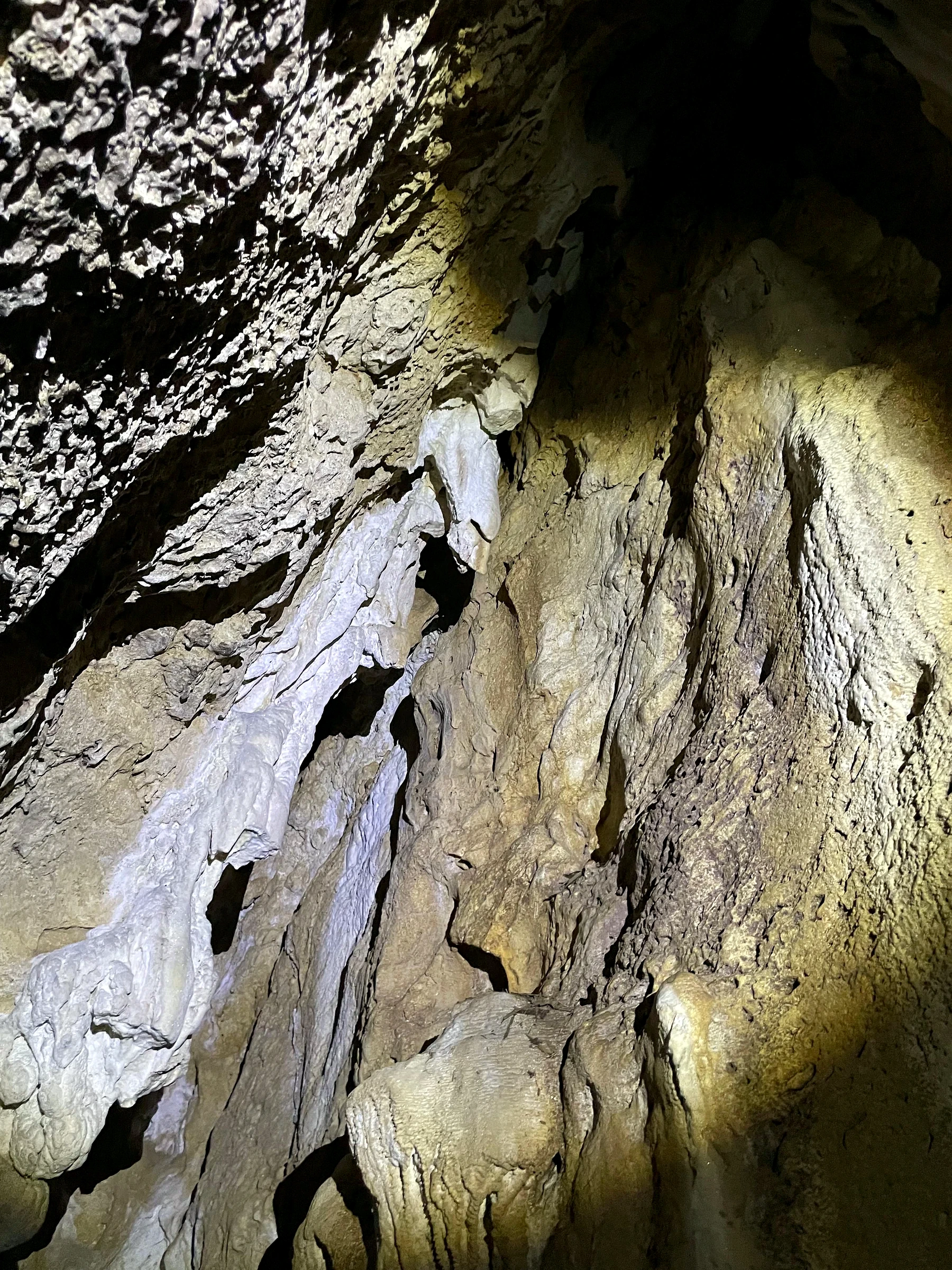
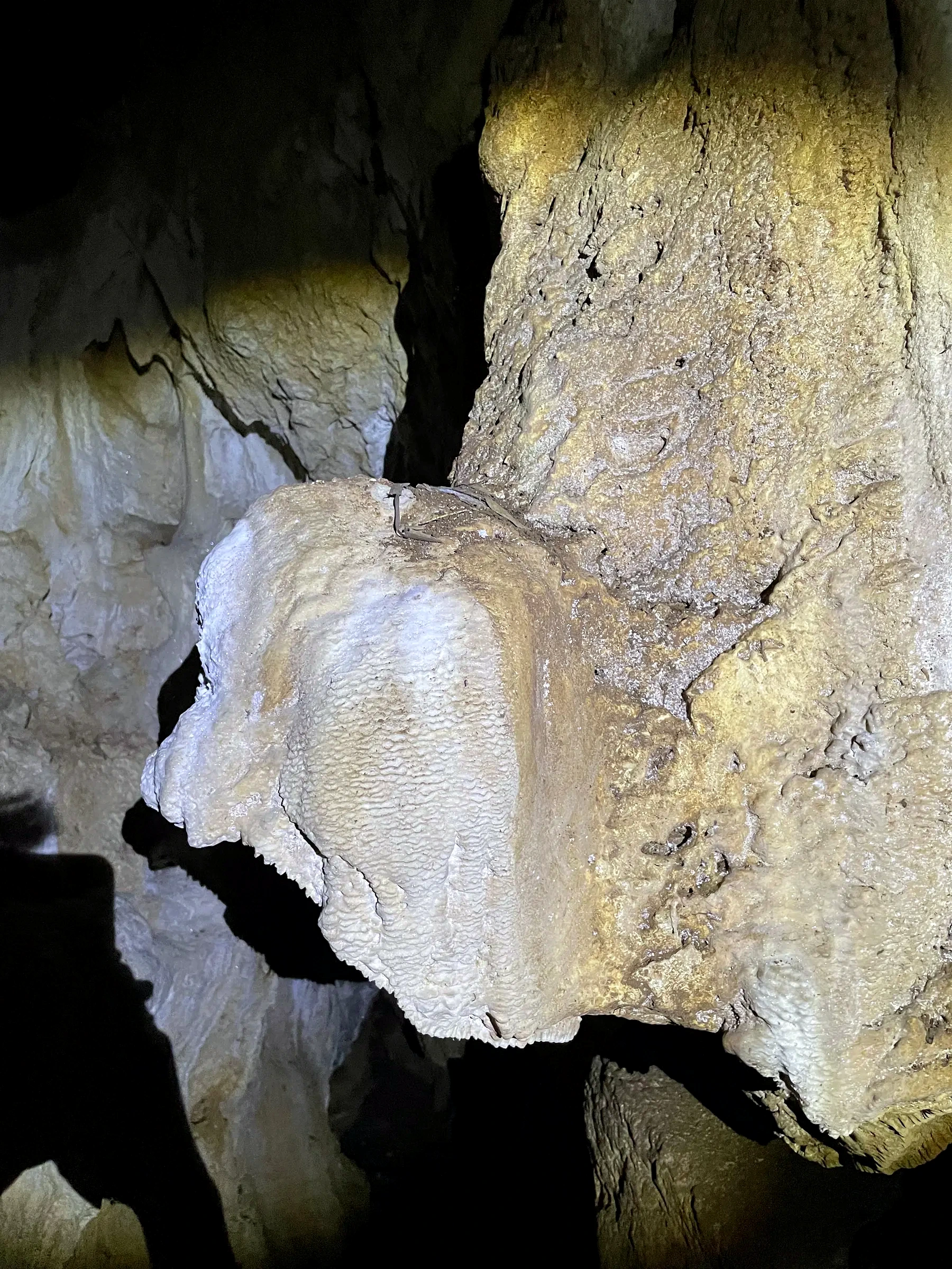
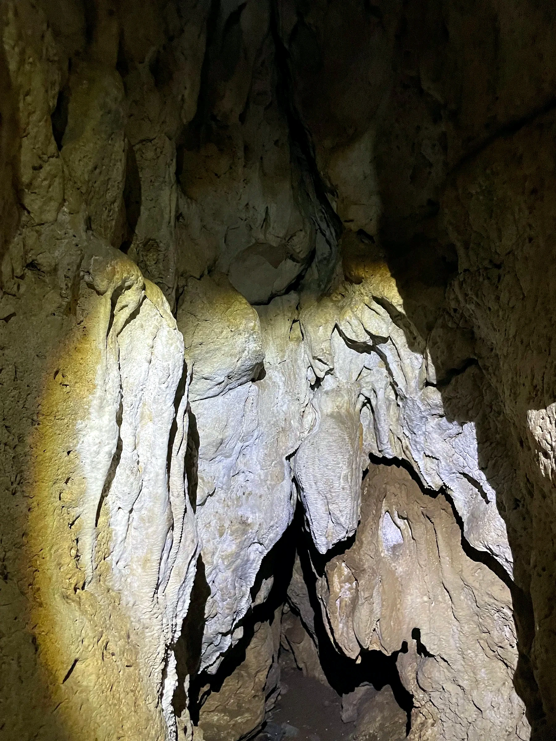
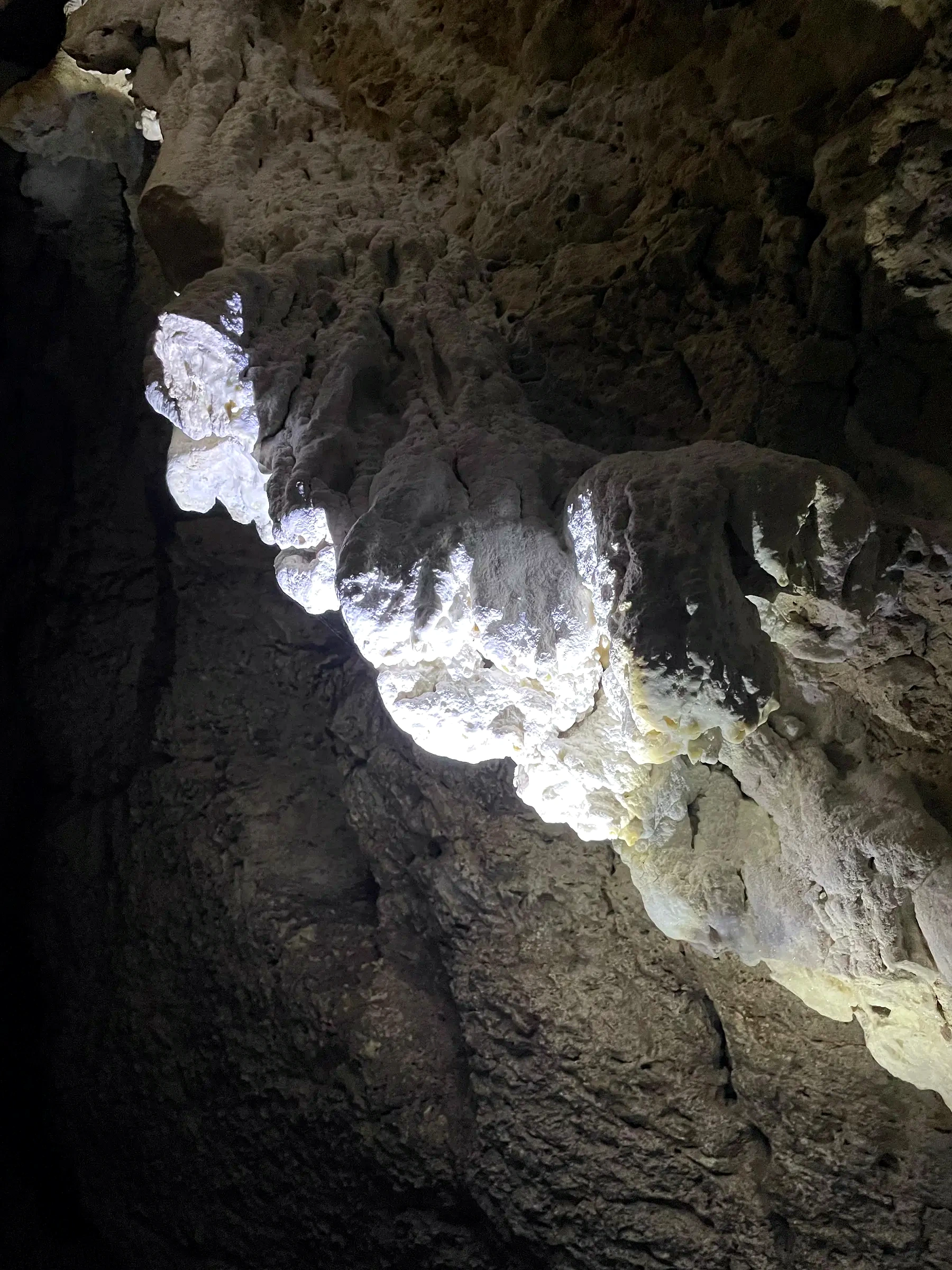
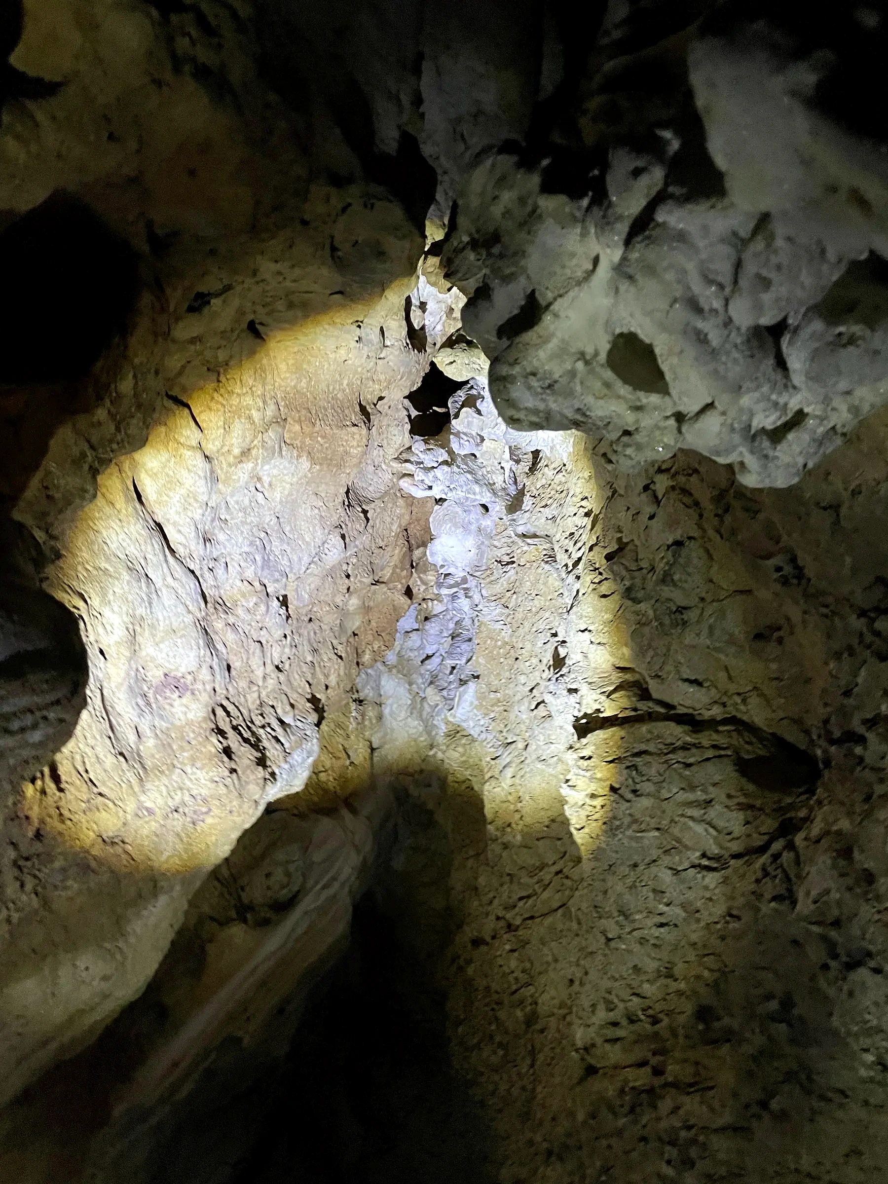
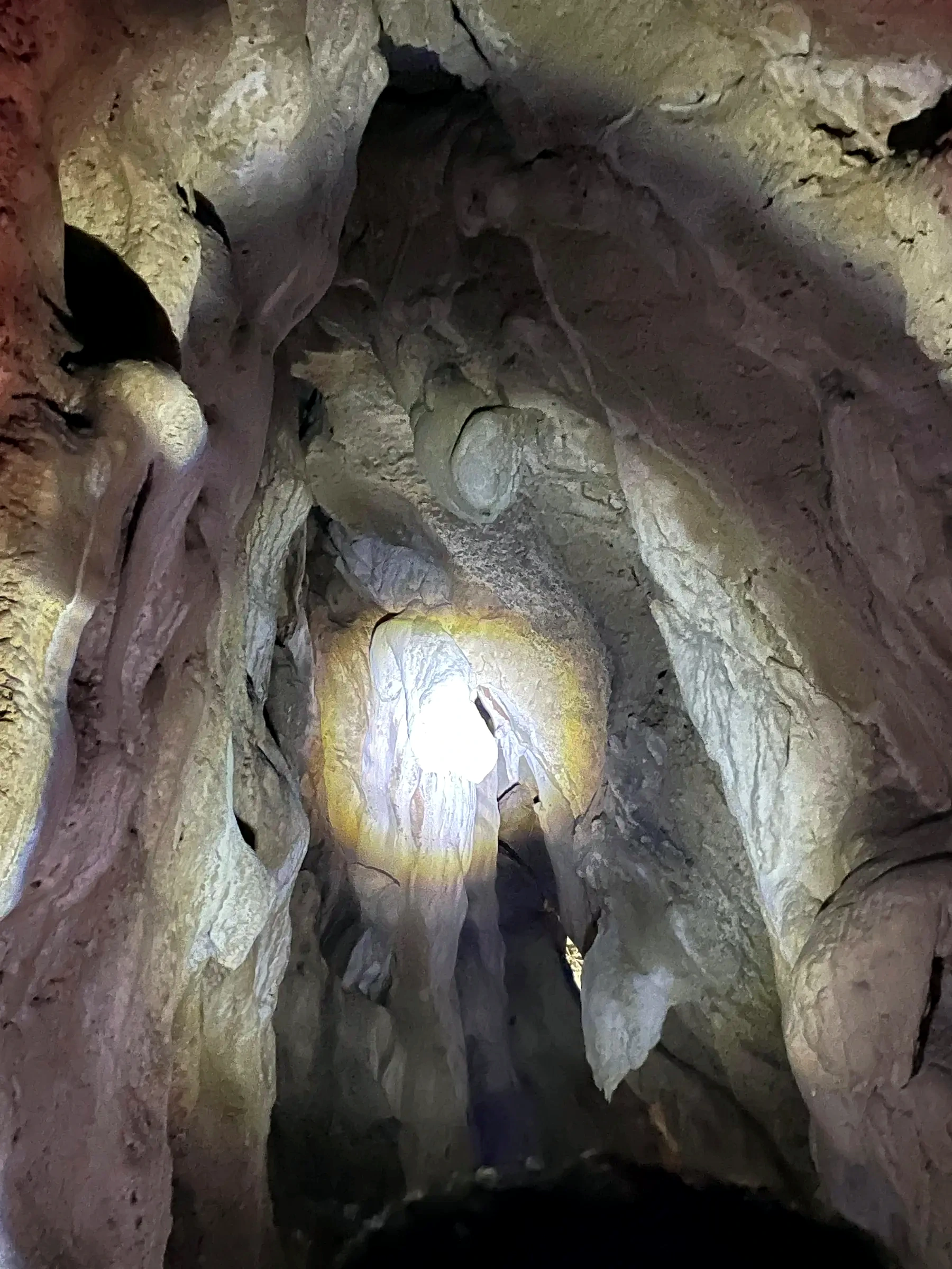
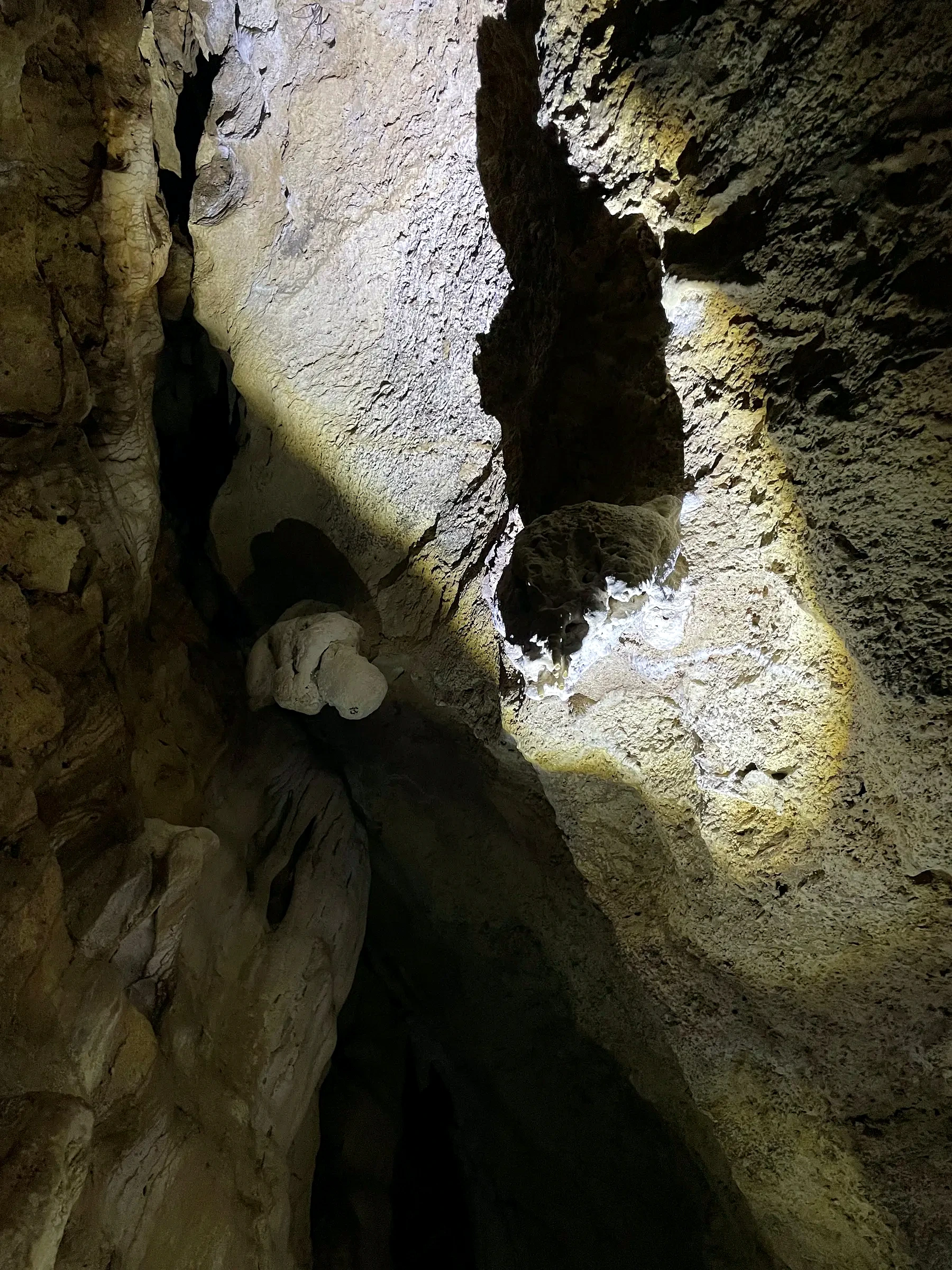
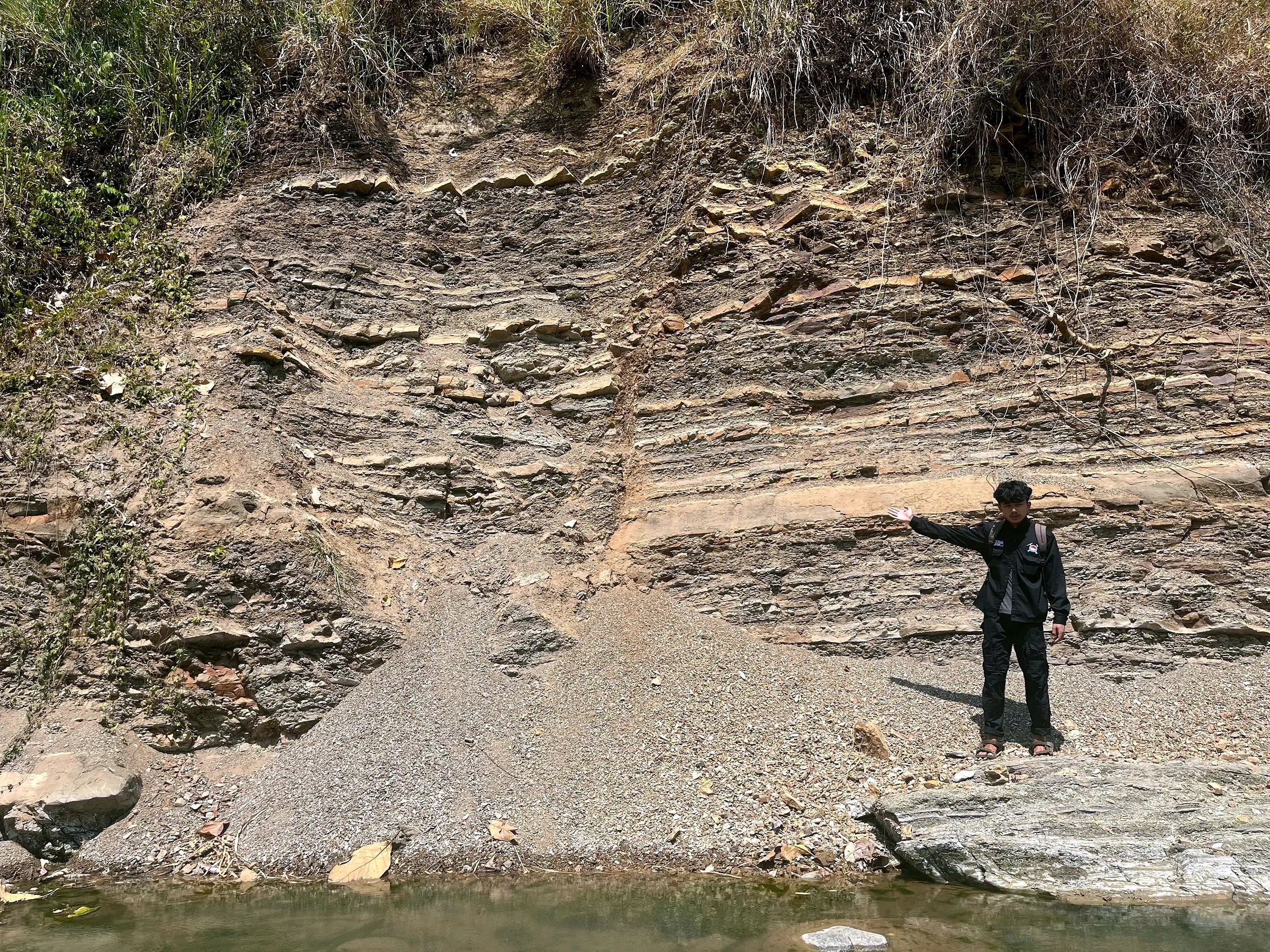
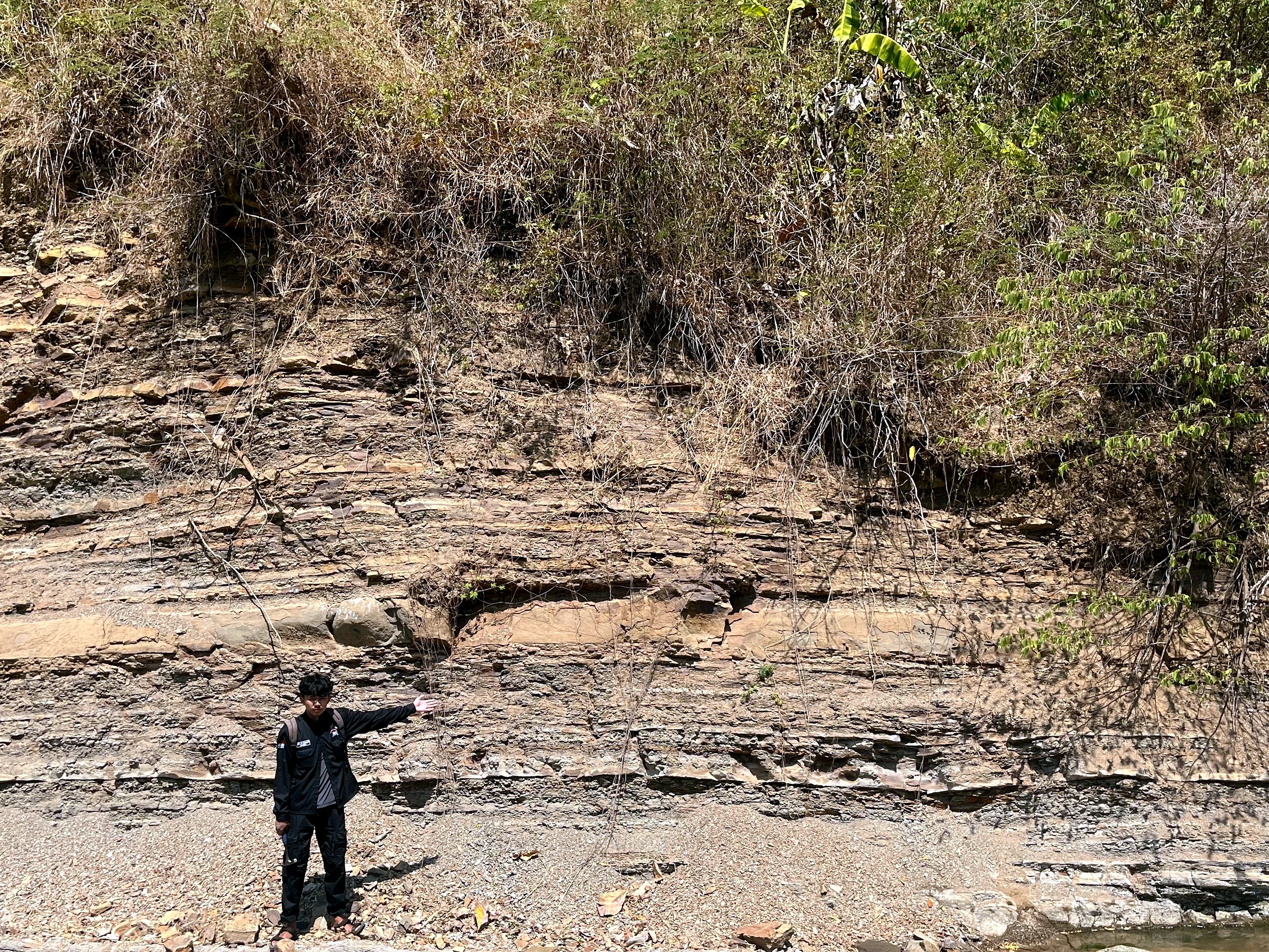
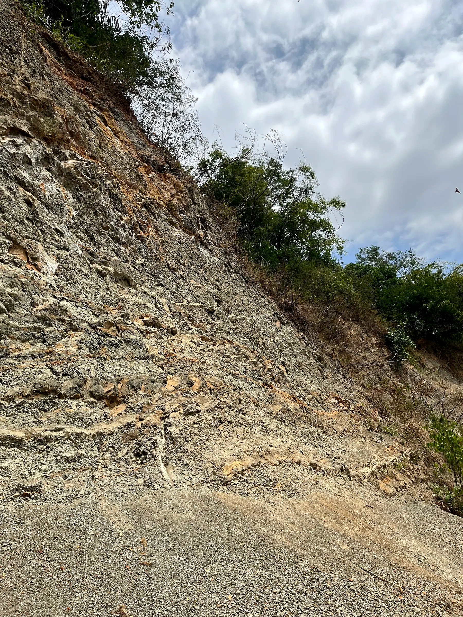
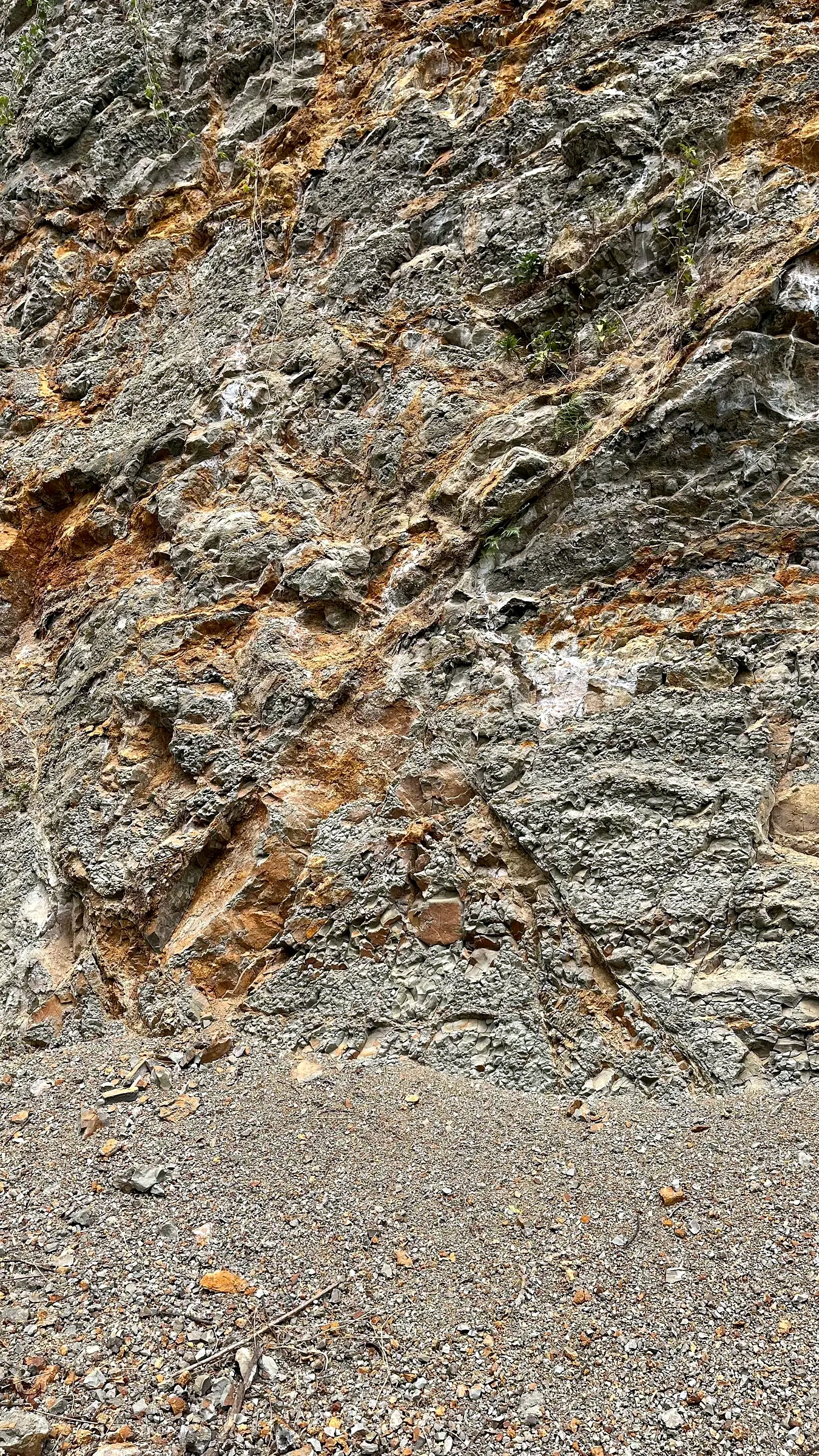
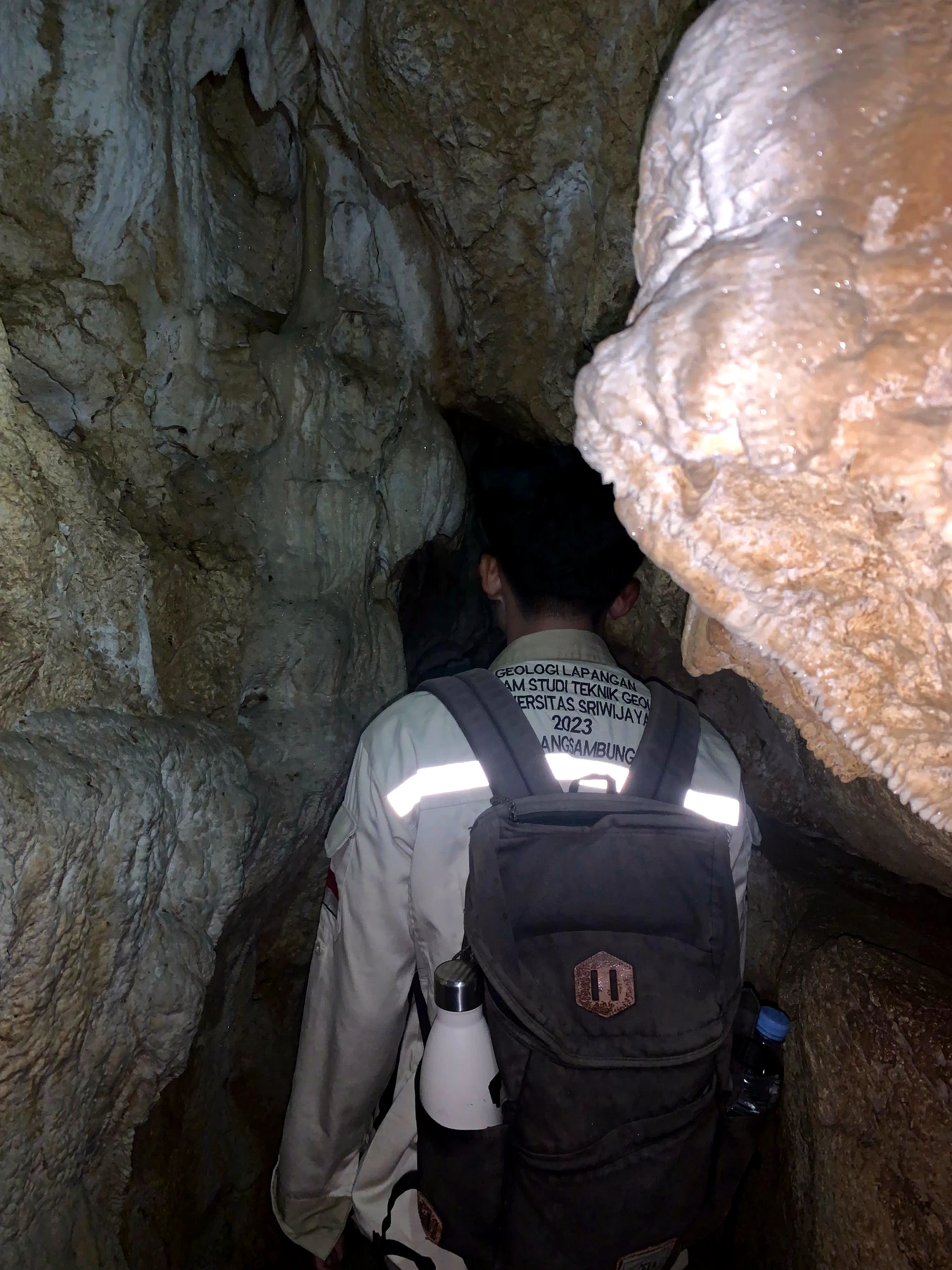
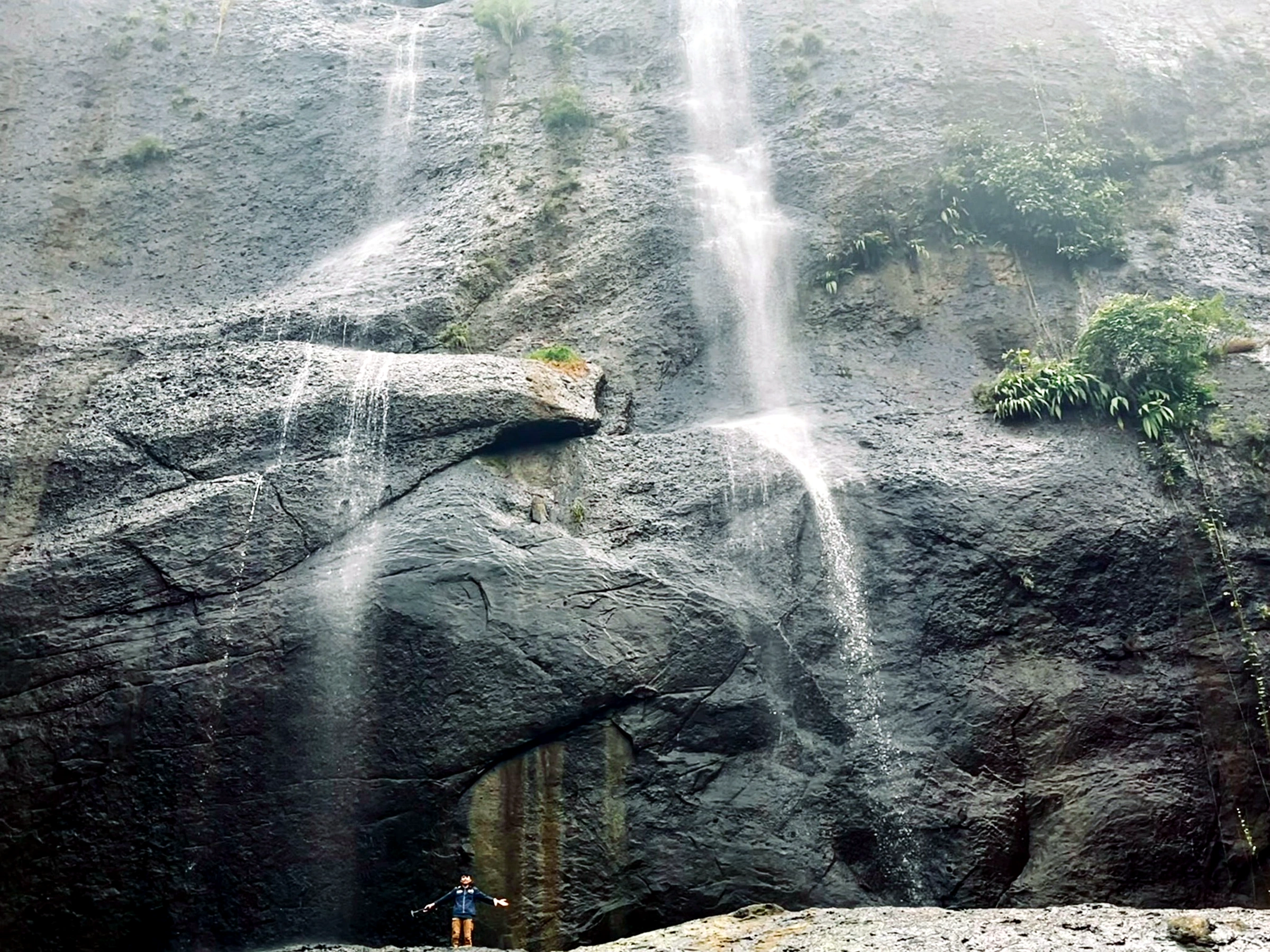
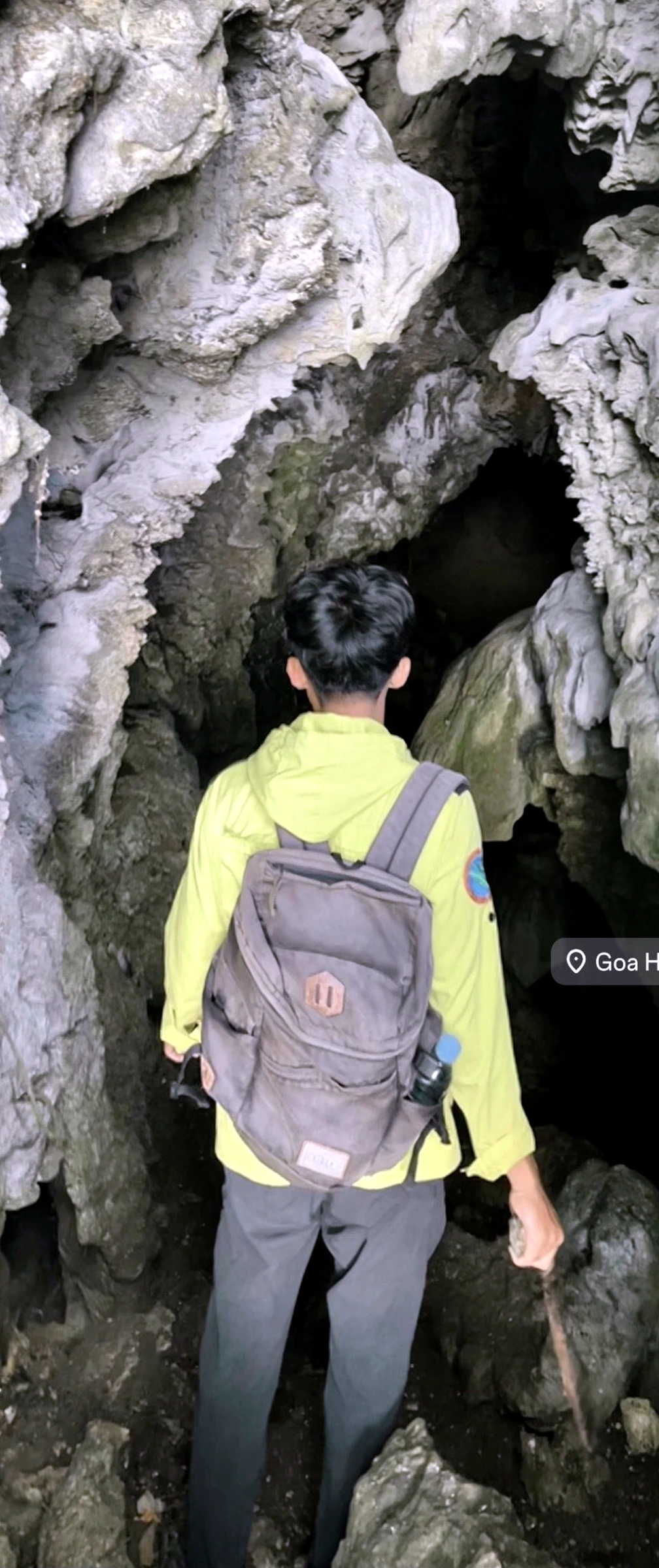
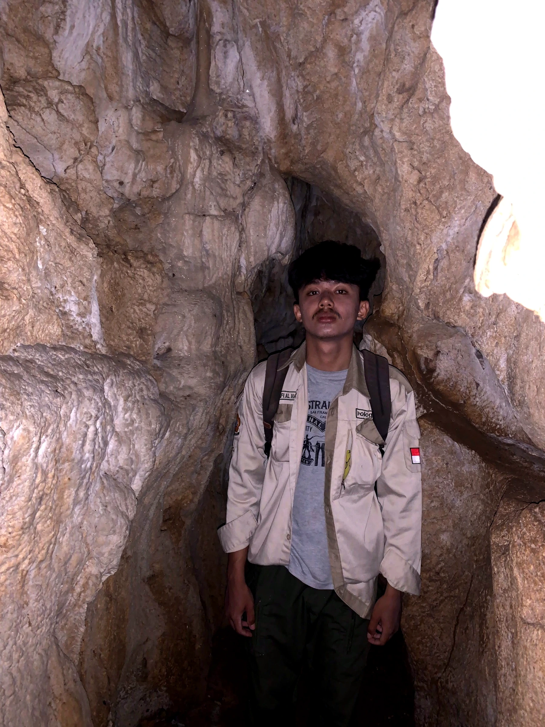
Geological field exposure
Projects, albums and all 404 records are available directly.
Professional identity
Field geology · stratigraphic interpretation · geological modellingTarget roles
Junior Geologist · Mine Geologist · Geological Modeller · GIS / Subsurface SupportPortfolio structure
Project records linked to the original reports, images and workflow archives.
PROFESSIONAL PROFILE
Applied Geoscientist · Mining, Energy, Field Geology & Subsurface Interpretation
Geological Engineering candidate with project-based work across coal and mine geology, systematic mapping, structural and geotechnical analysis, oil-and-gas subsurface interpretation, geothermal industry exposure, GIS, research and three-dimensional geological modelling.
Junior / Mine Geologist · Exploration & Field Geologist · Subsurface / Formation-Evaluation Support · Geological Modelling & GIS Support
I connect outcrops, drillhole and core data, well logs, laboratory observations, maps and software models, then separate observation from interpretation and state limitations clearly.
FLAGSHIP PROJECTS
Each project page opens directly to its complete record set and connected albums.
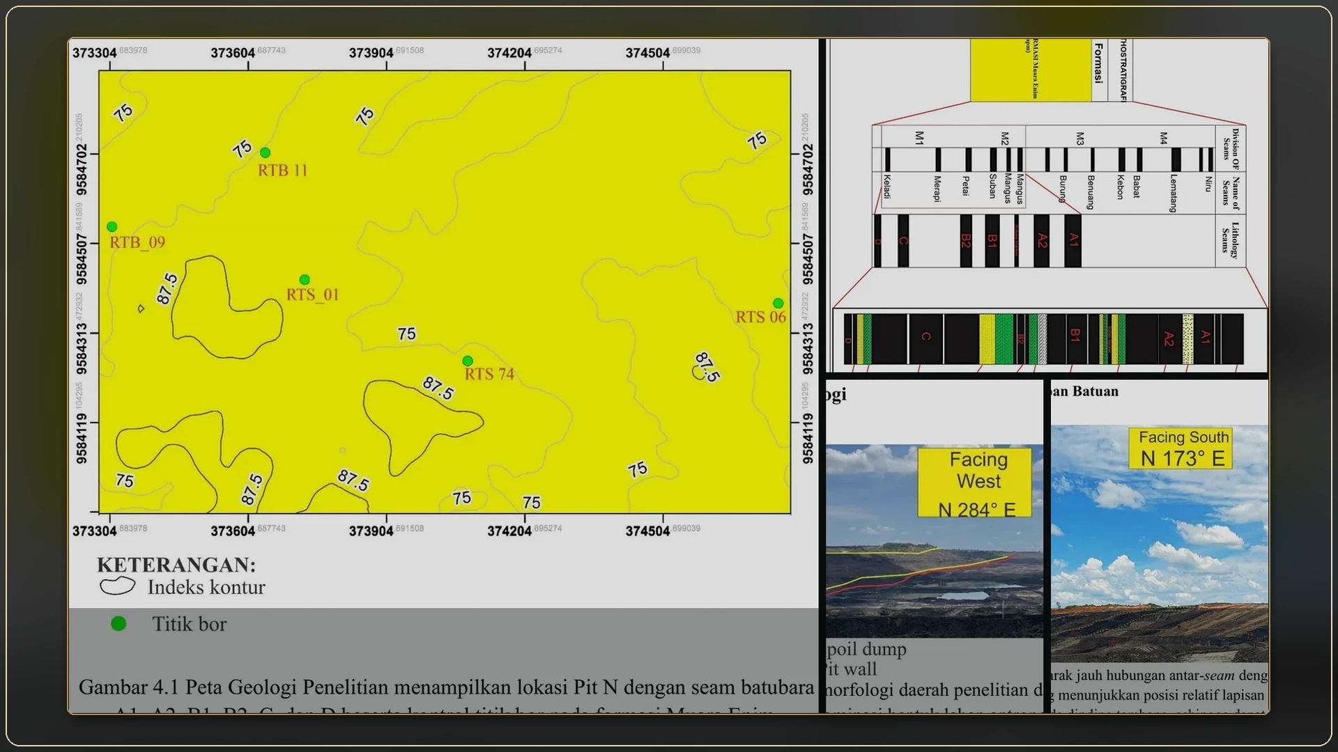
THESIS · SUBSURFACE STRATIGRAPHY
Six coal seams studied through outcrops, core lithofacies, gamma-ray logs, coal quality, stratigraphic correlation and three-dimensional modelling.
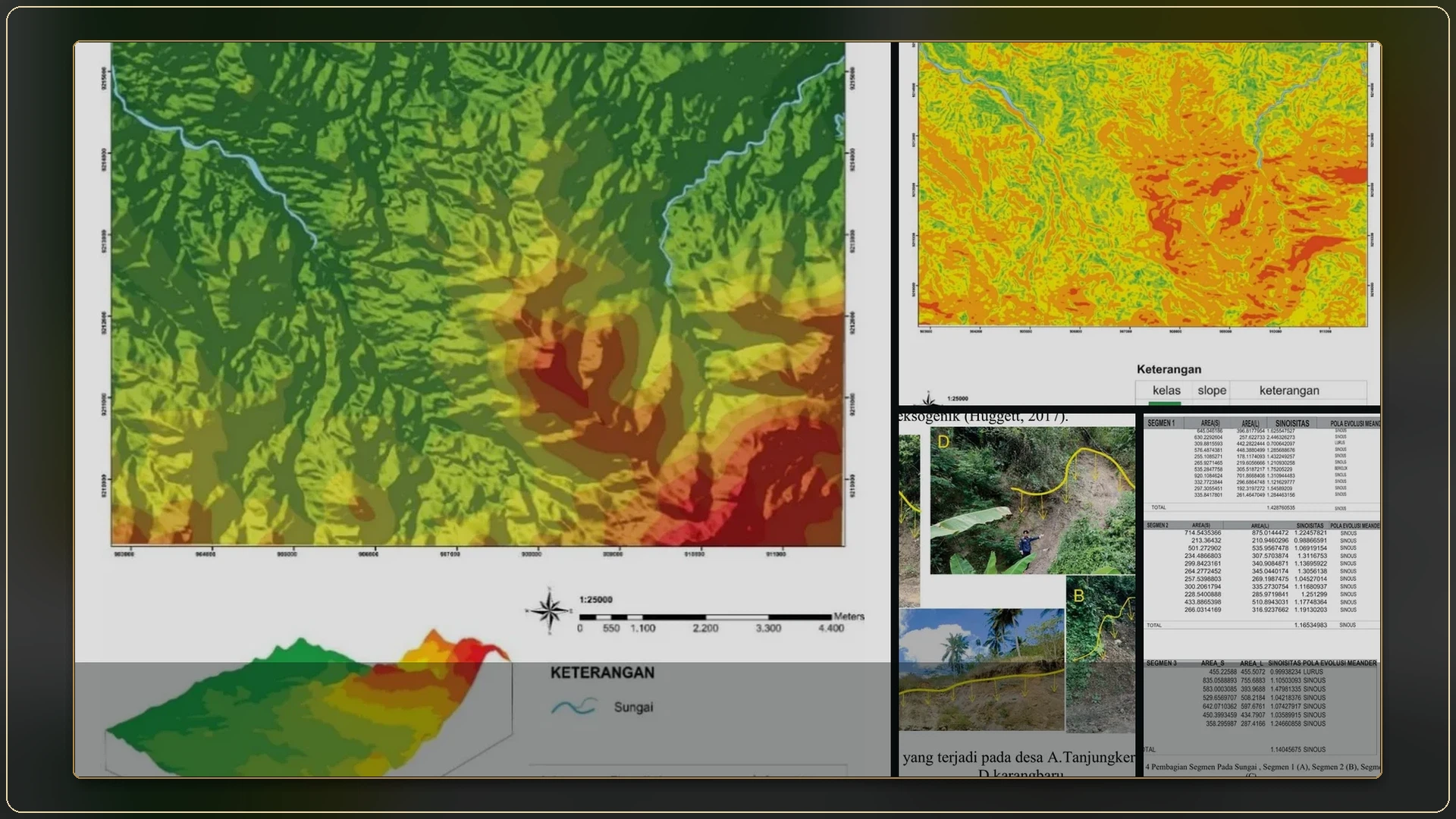
FIELD MAPPING · STRUCTURAL GEOLOGY
An integrated mapping dossier connecting geomorphology, Halang–Lebakwangi–Kumbang stratigraphy, petrography, micropalaeontology, rock photographs, structural measurements, maps and geological cross-sections.
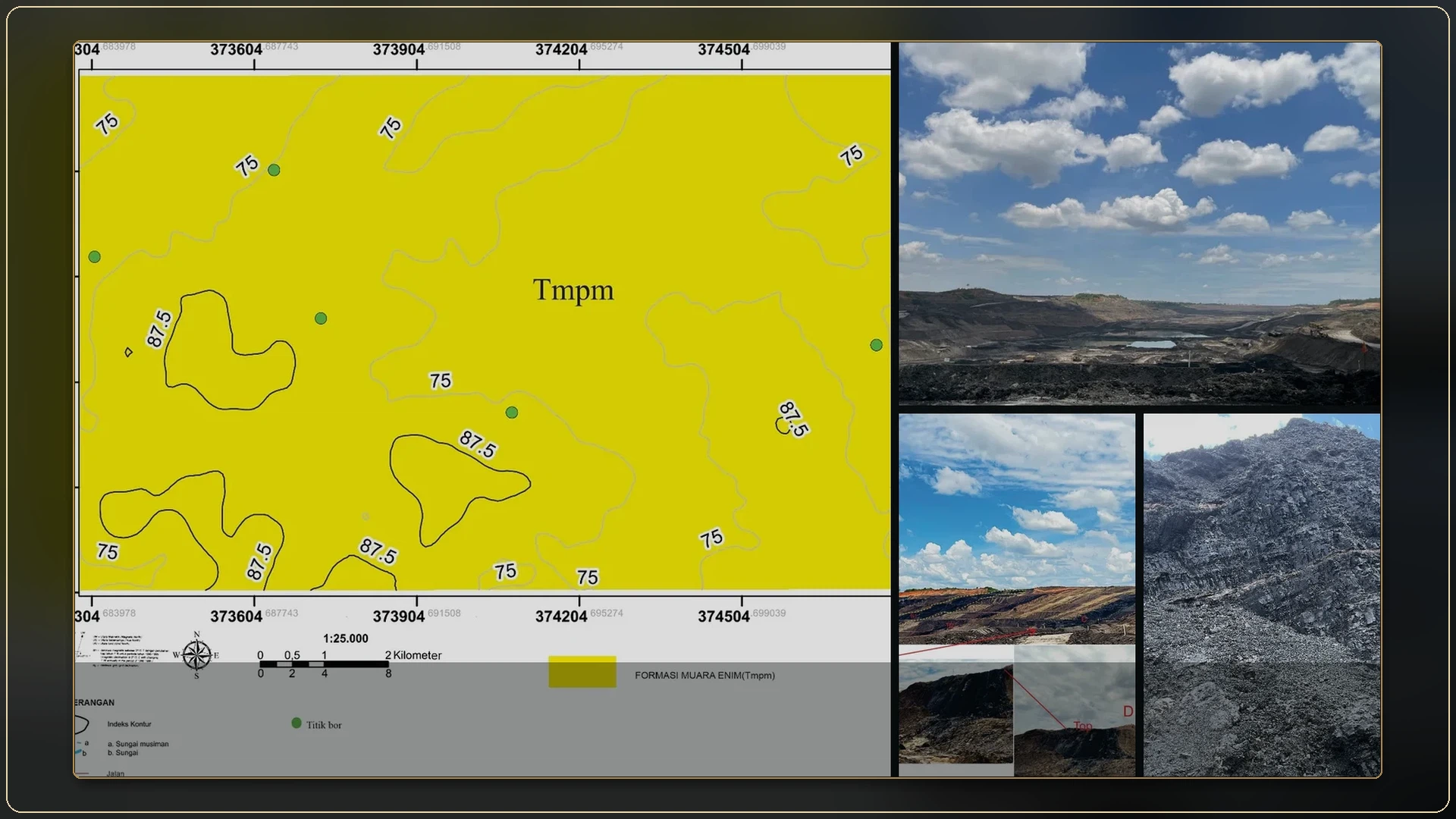
INTERNSHIP · GEOLOGY & DRILLING
Internship documentation covering borehole context, coal and interburden observations, coal quality, core lithofacies, electrofacies and MineScape workflow practice.
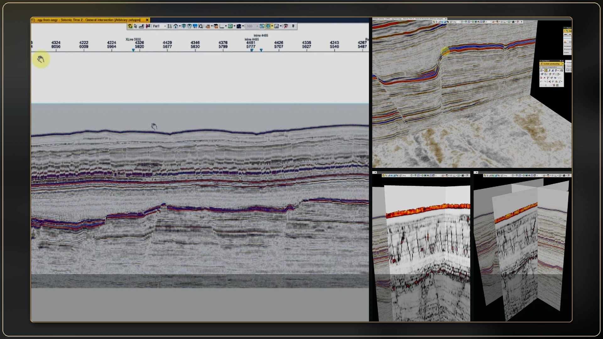
PETREL · SEISMIC & STRUCTURAL INTERPRETATION
Petrel technical records covering seismic display, horizon picking, fault construction, structural surfaces, attribute checks and integrated three-dimensional review.
CORE CAPABILITIES
The sections below show how rock photographs, logs, maps and software outputs connect within each project.
Geomorphology, stratigraphy, structures, outcrops and measured sections.
Core lithofacies, electrofacies, coal quality, seam correlation and uncertainty.
GIS, stereographic analysis, surface construction and visual model validation.
Technical writing, presentations, publication and clear project communication.
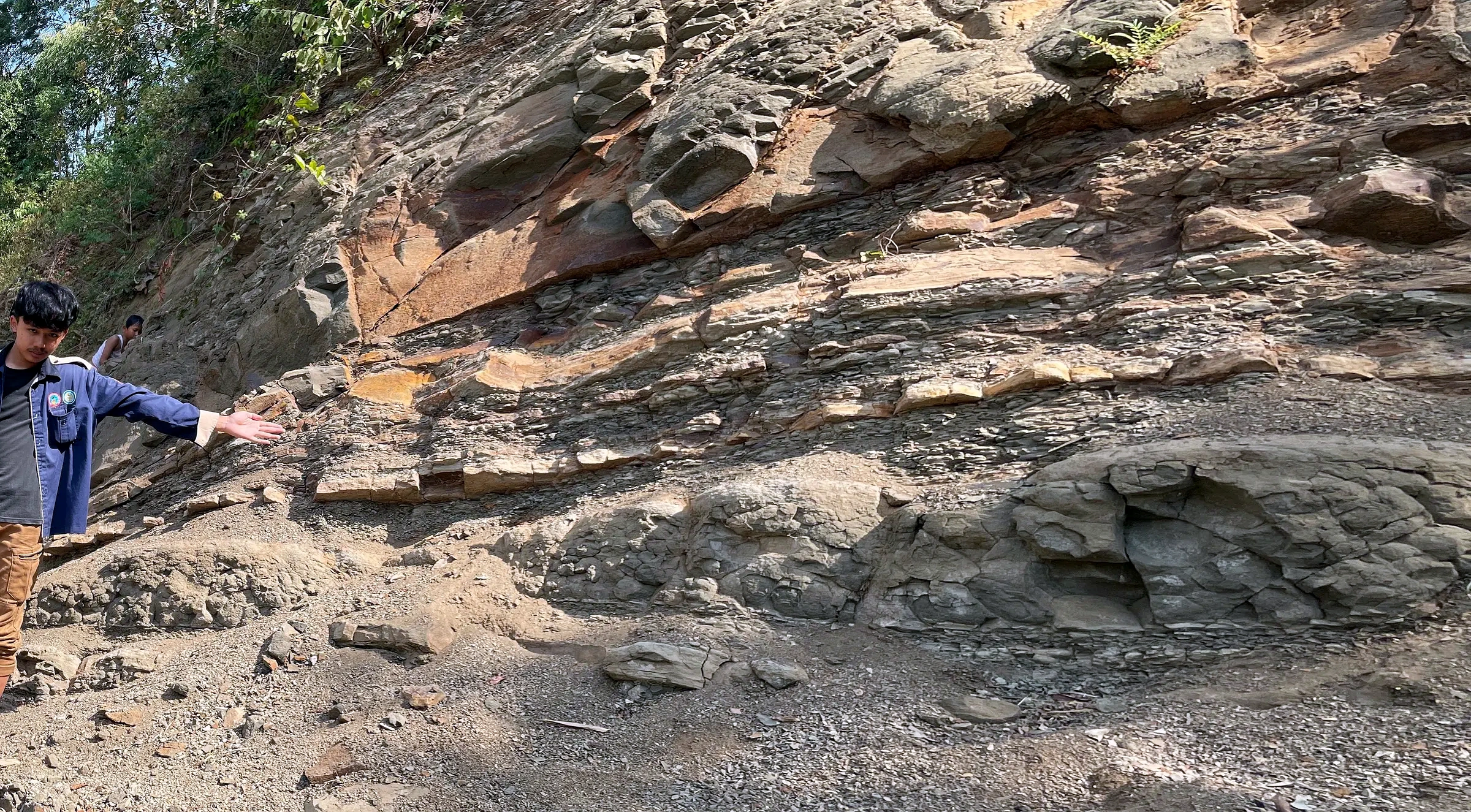
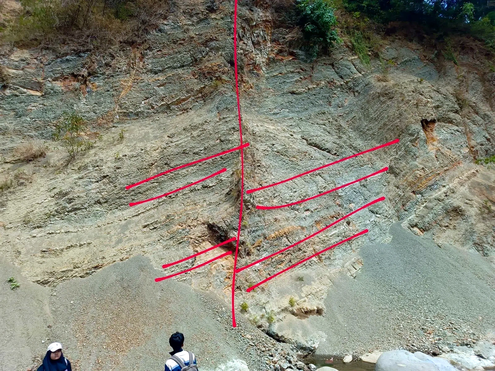
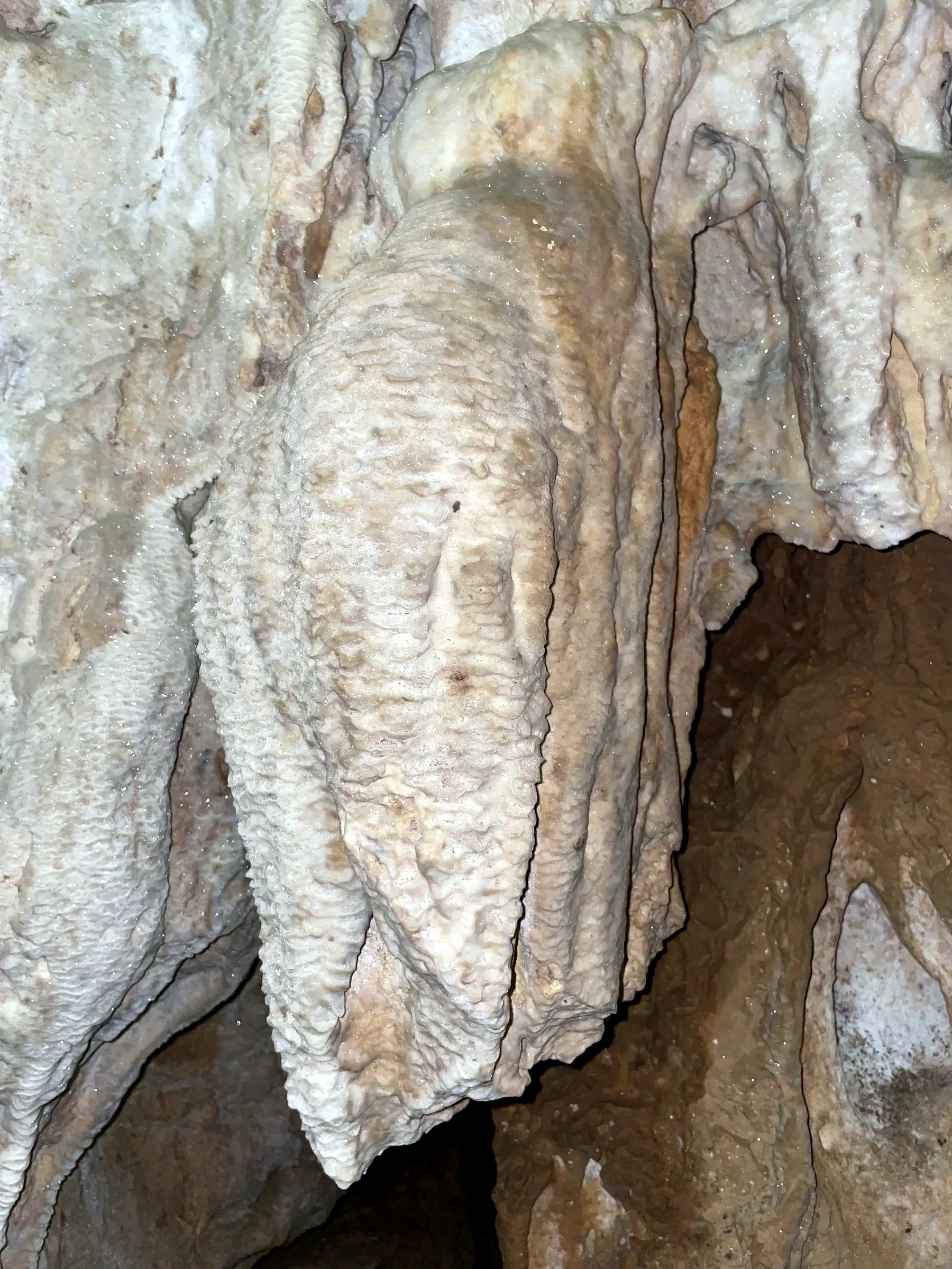
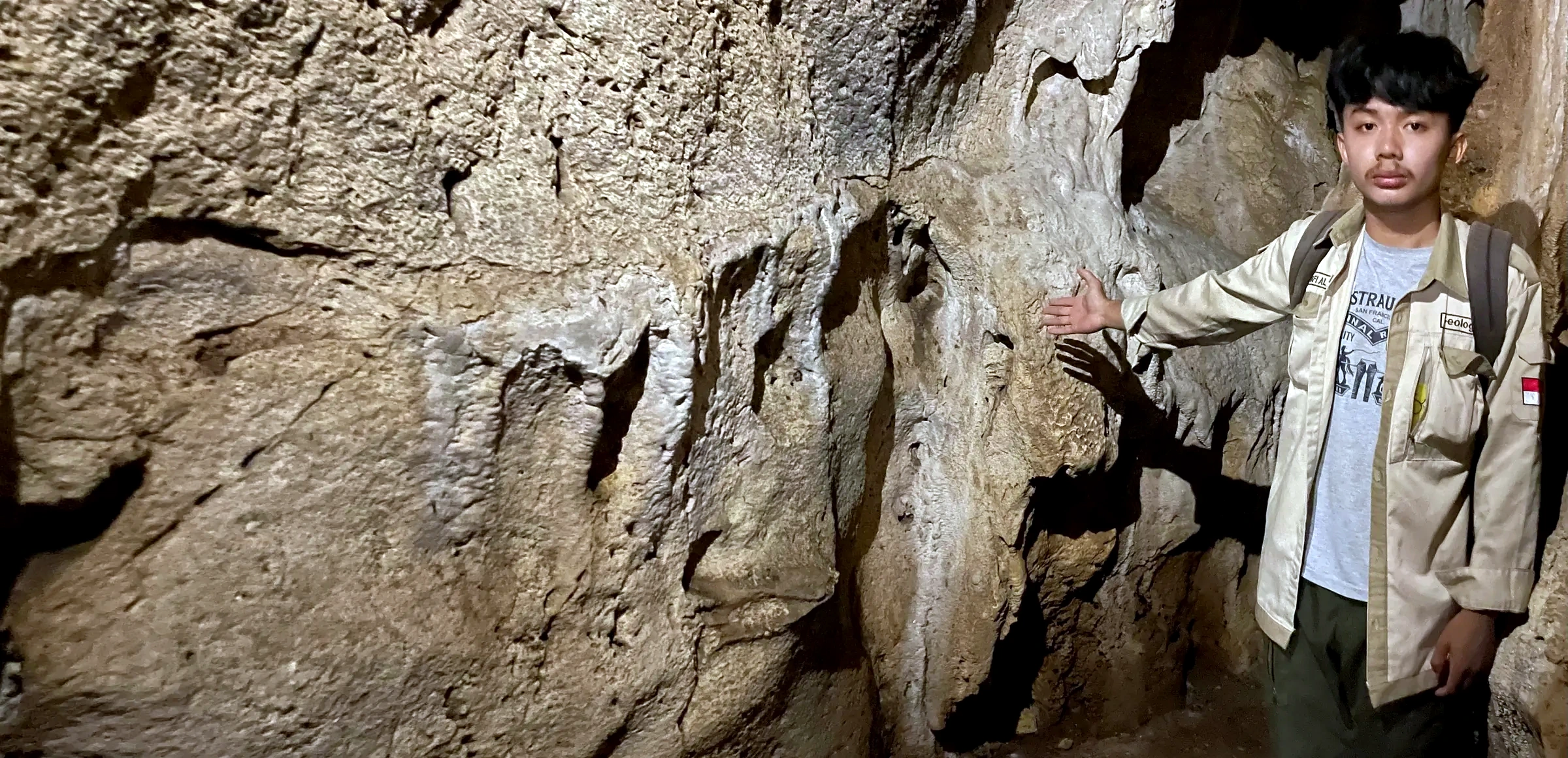
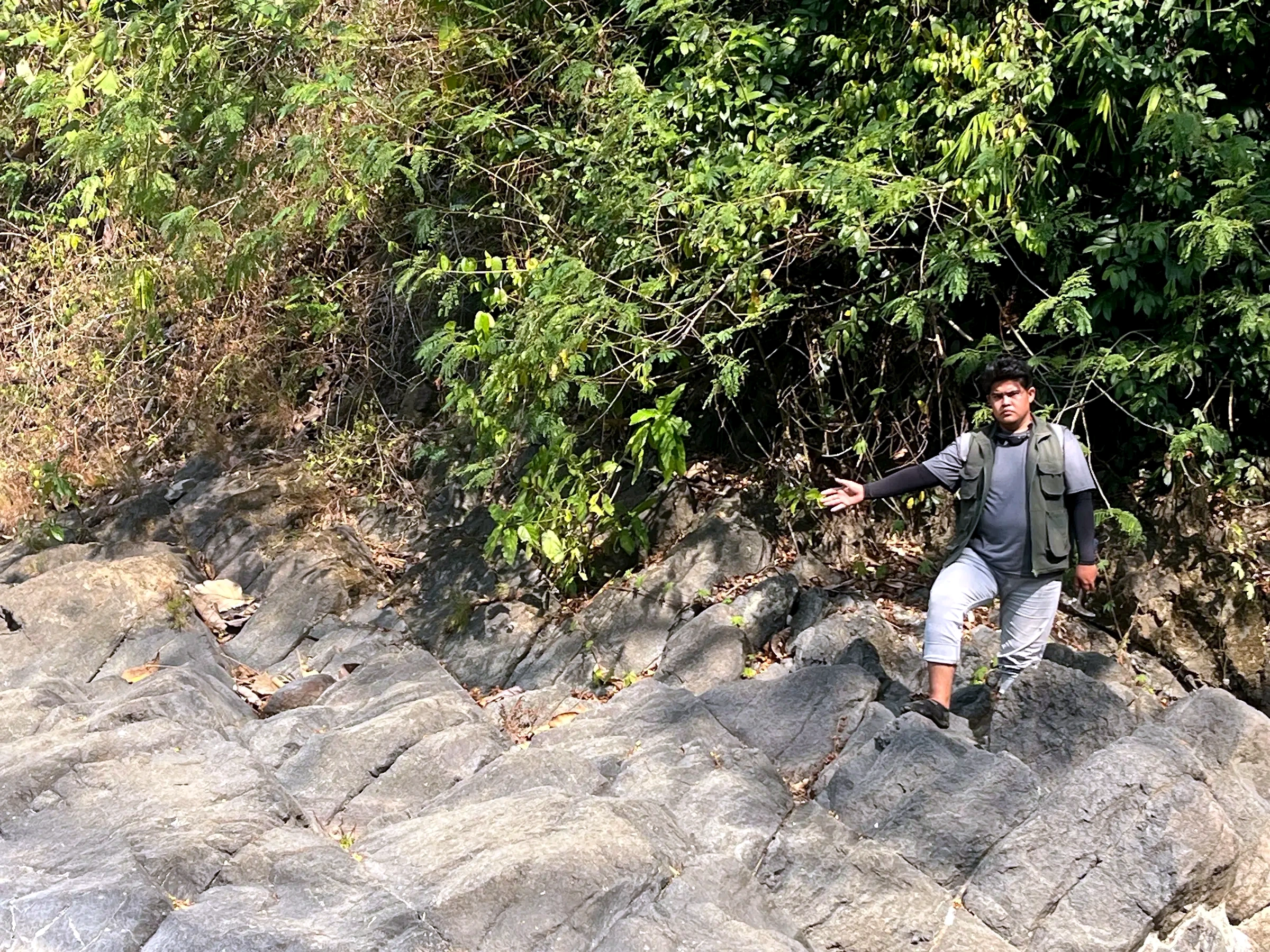
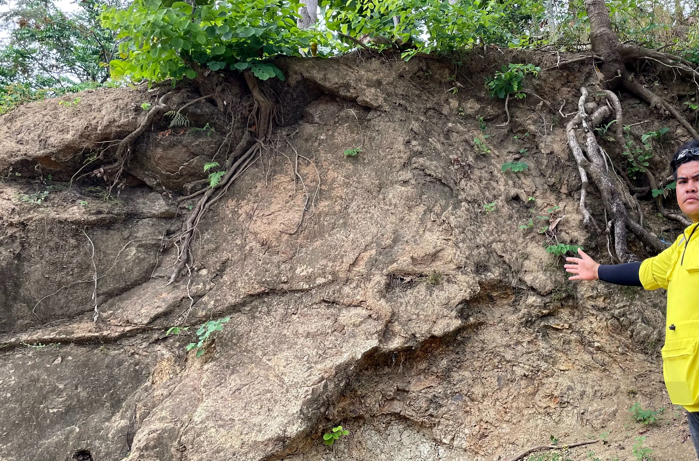
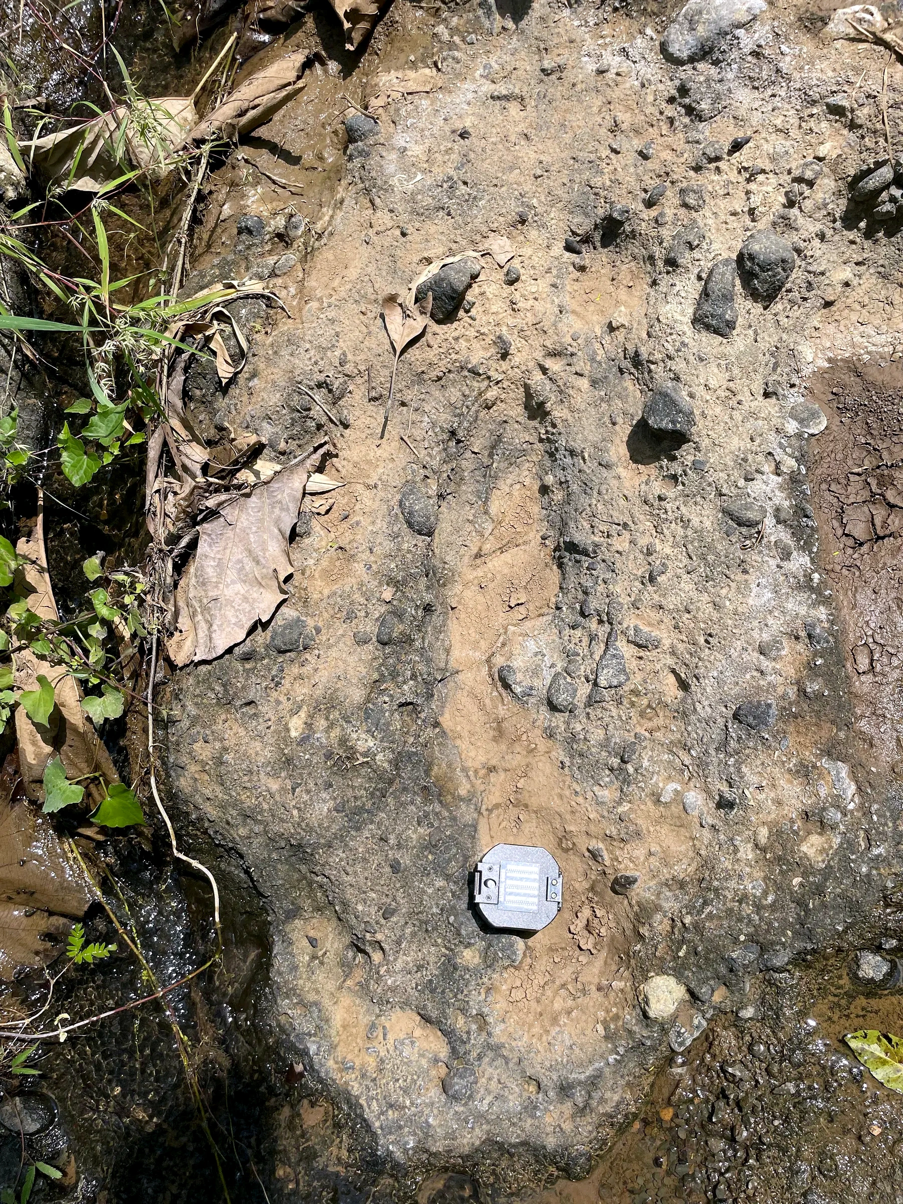
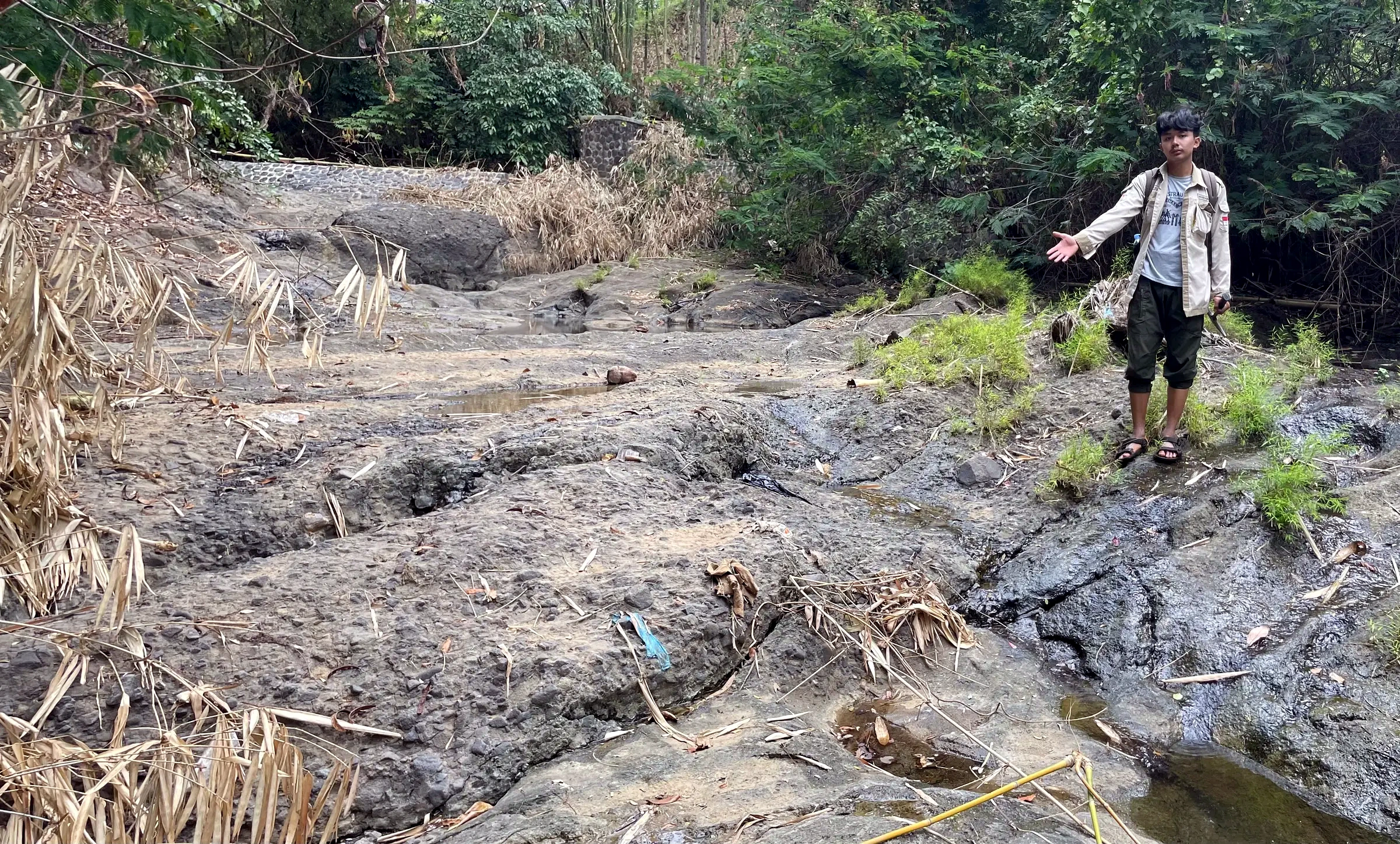
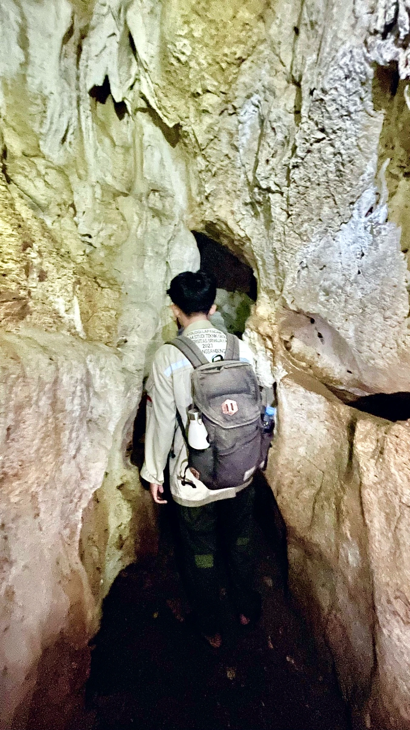
FIELD PHOTOGRAPHS
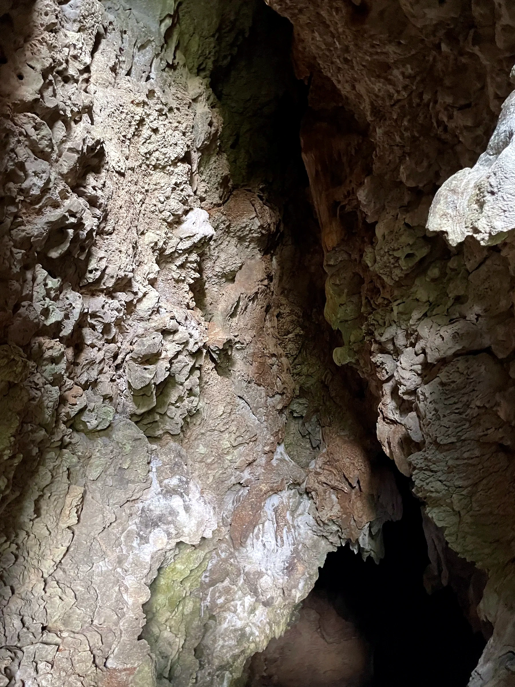
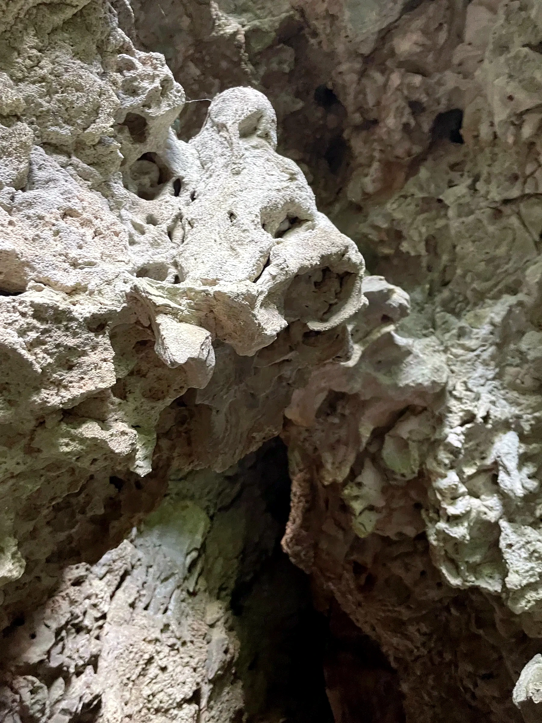
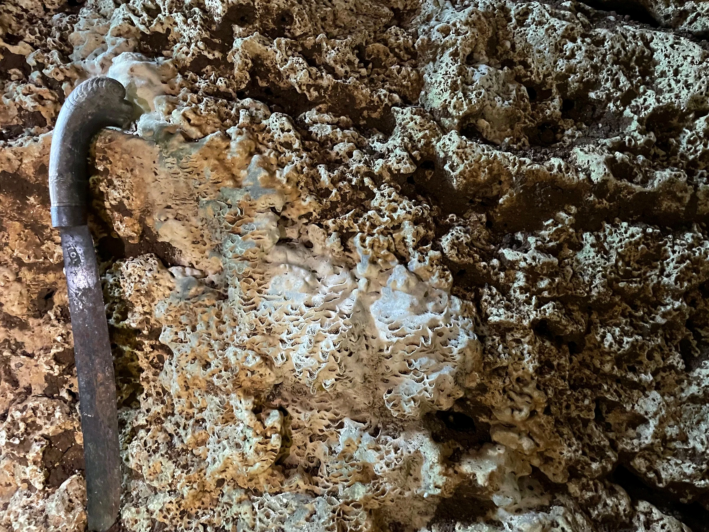
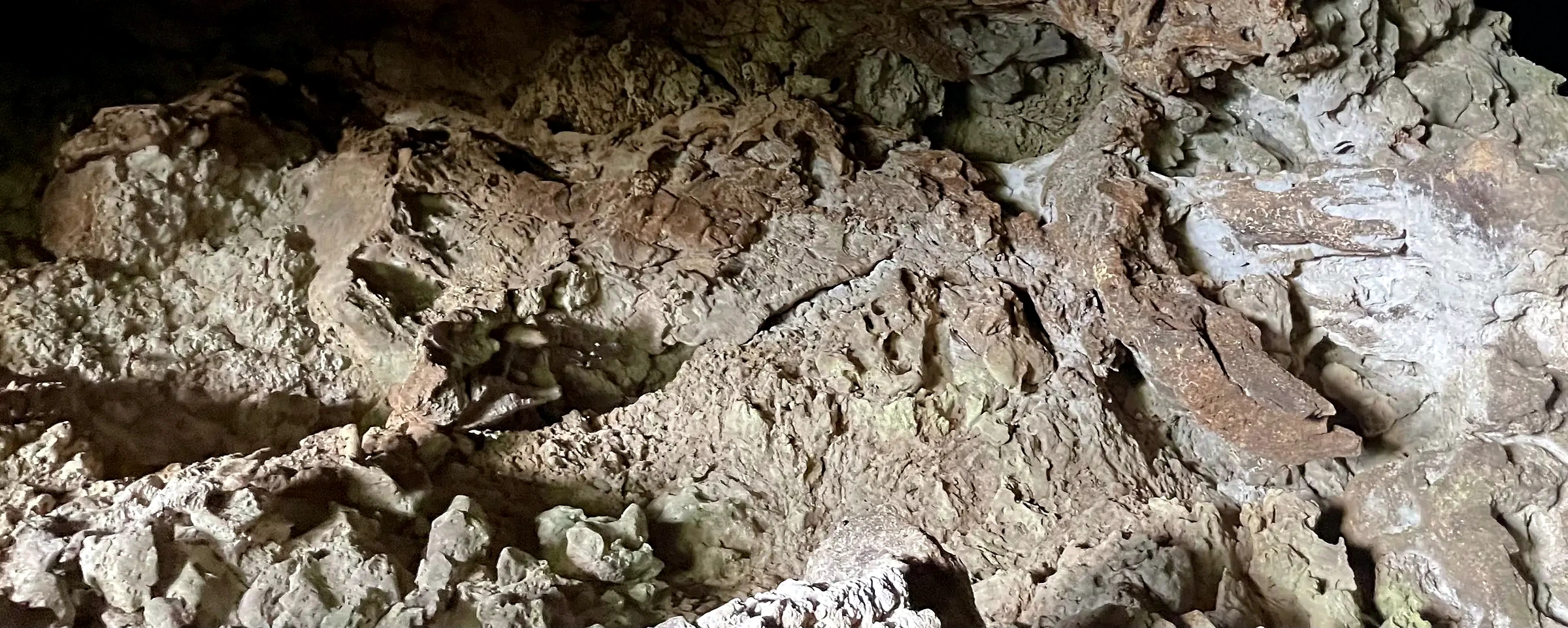
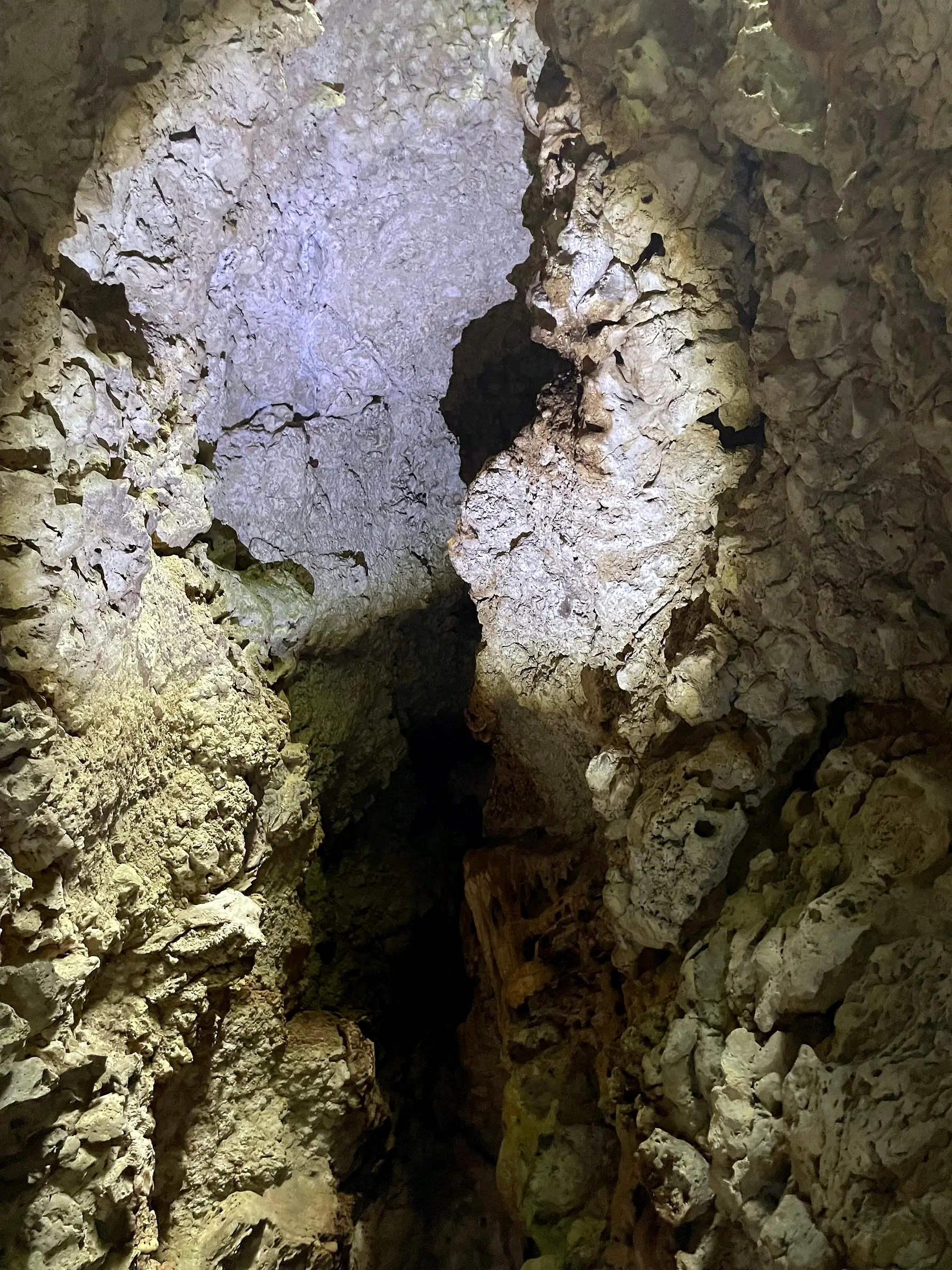
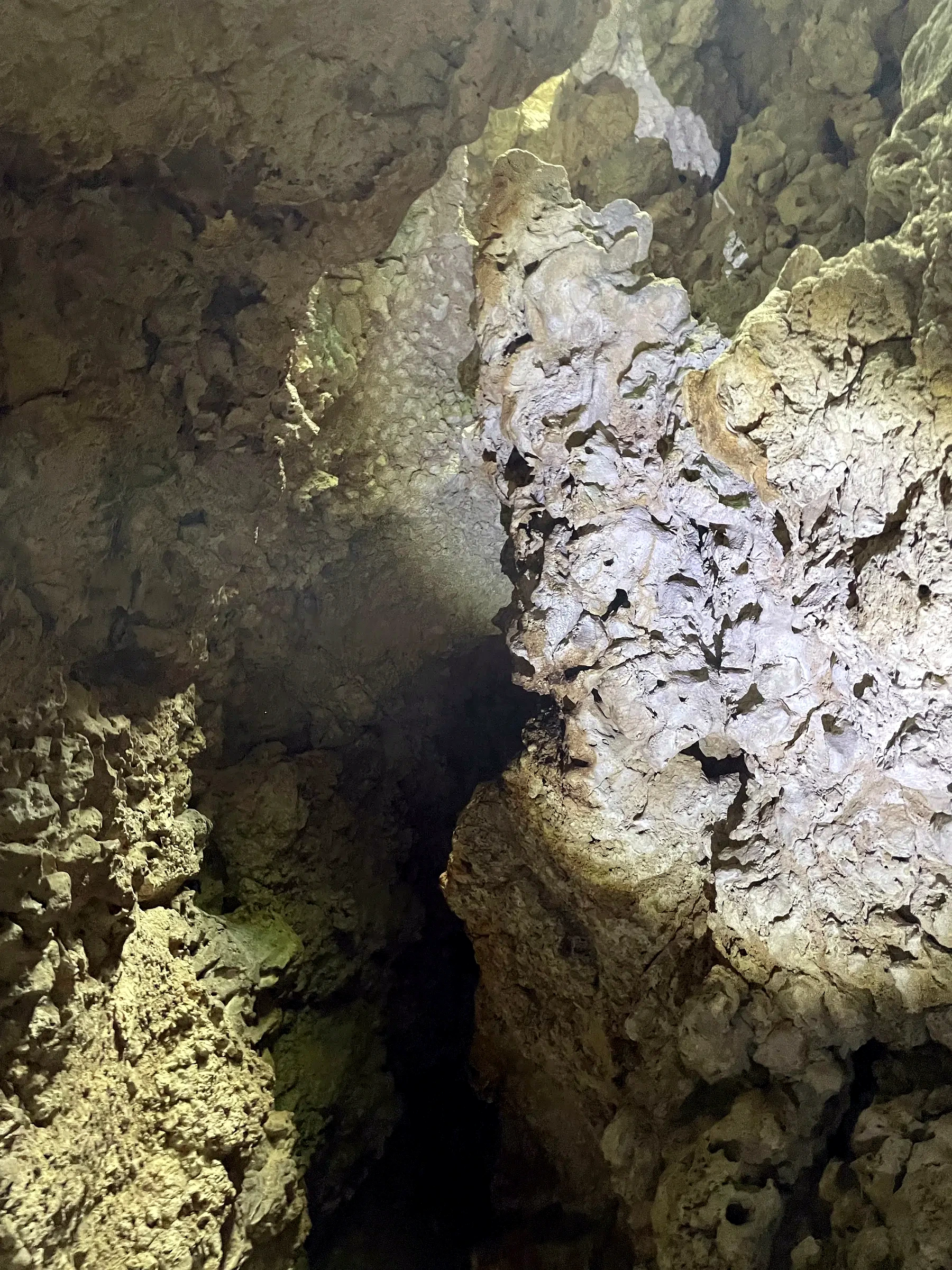
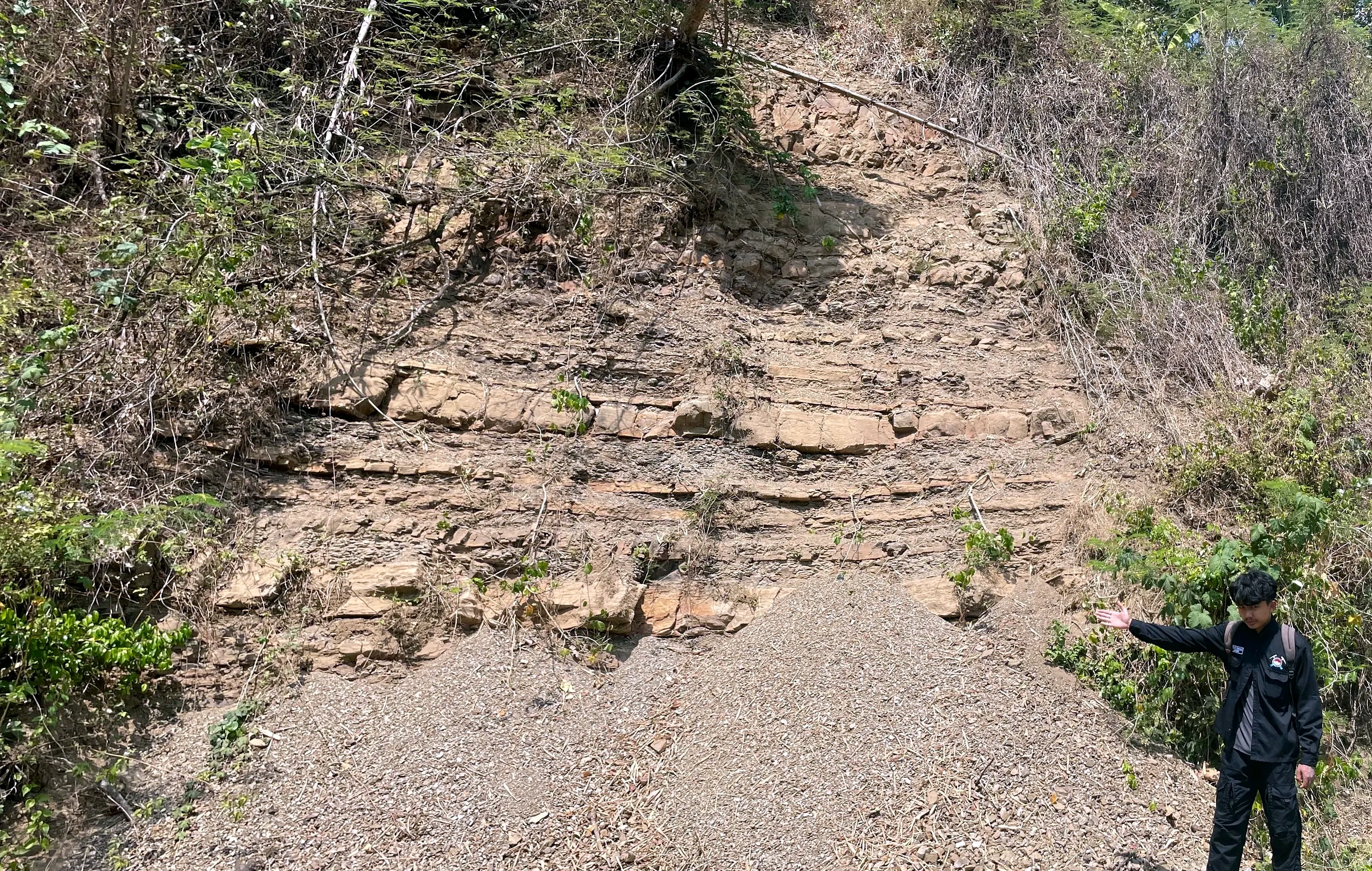
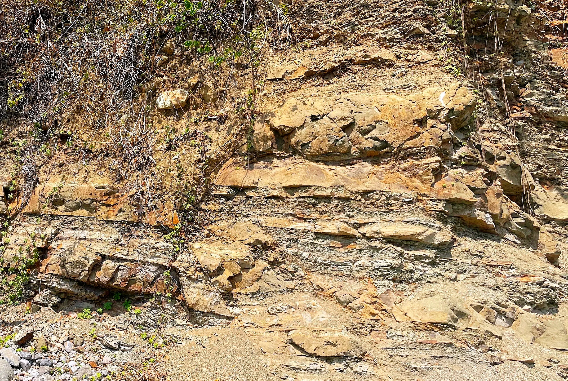
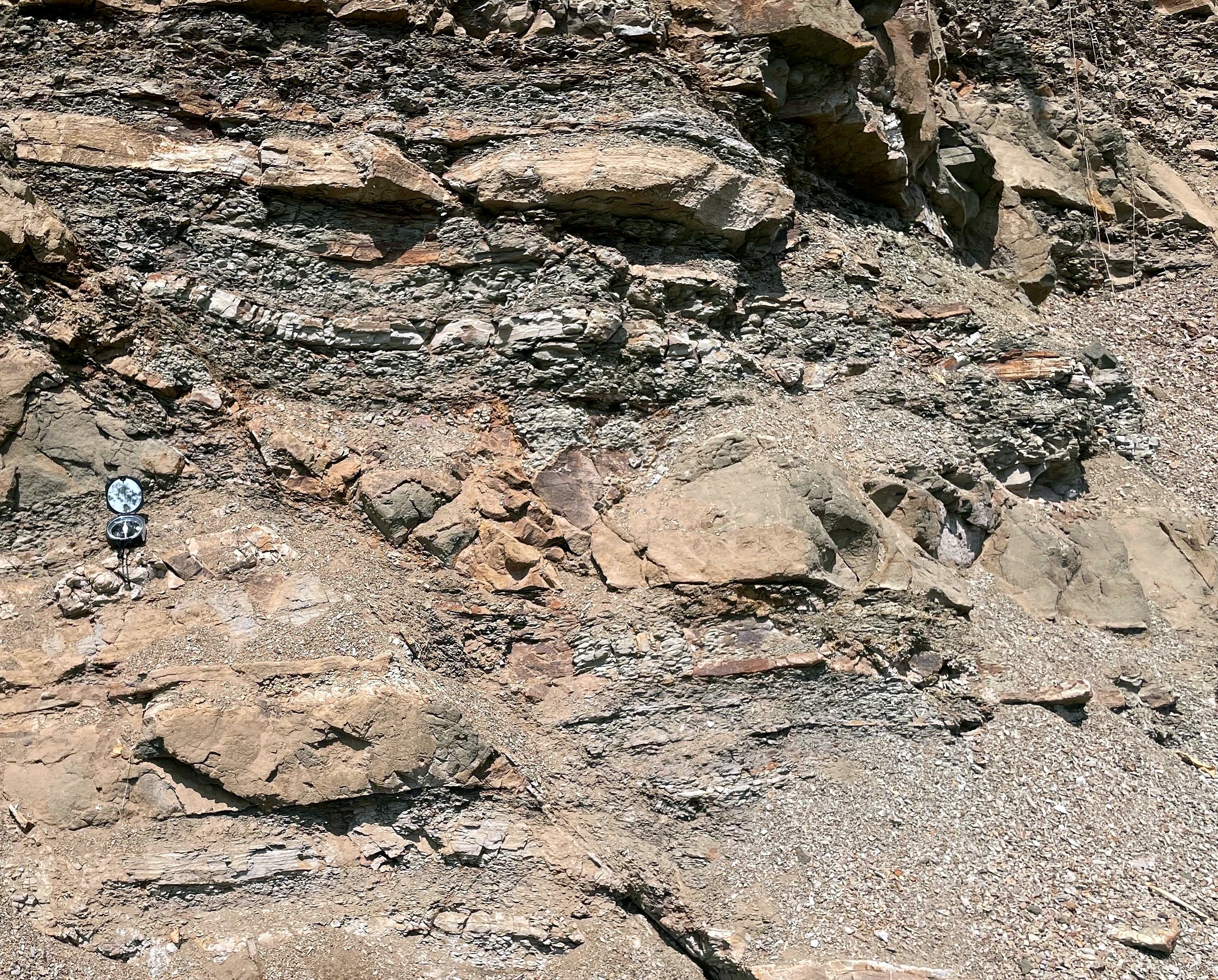
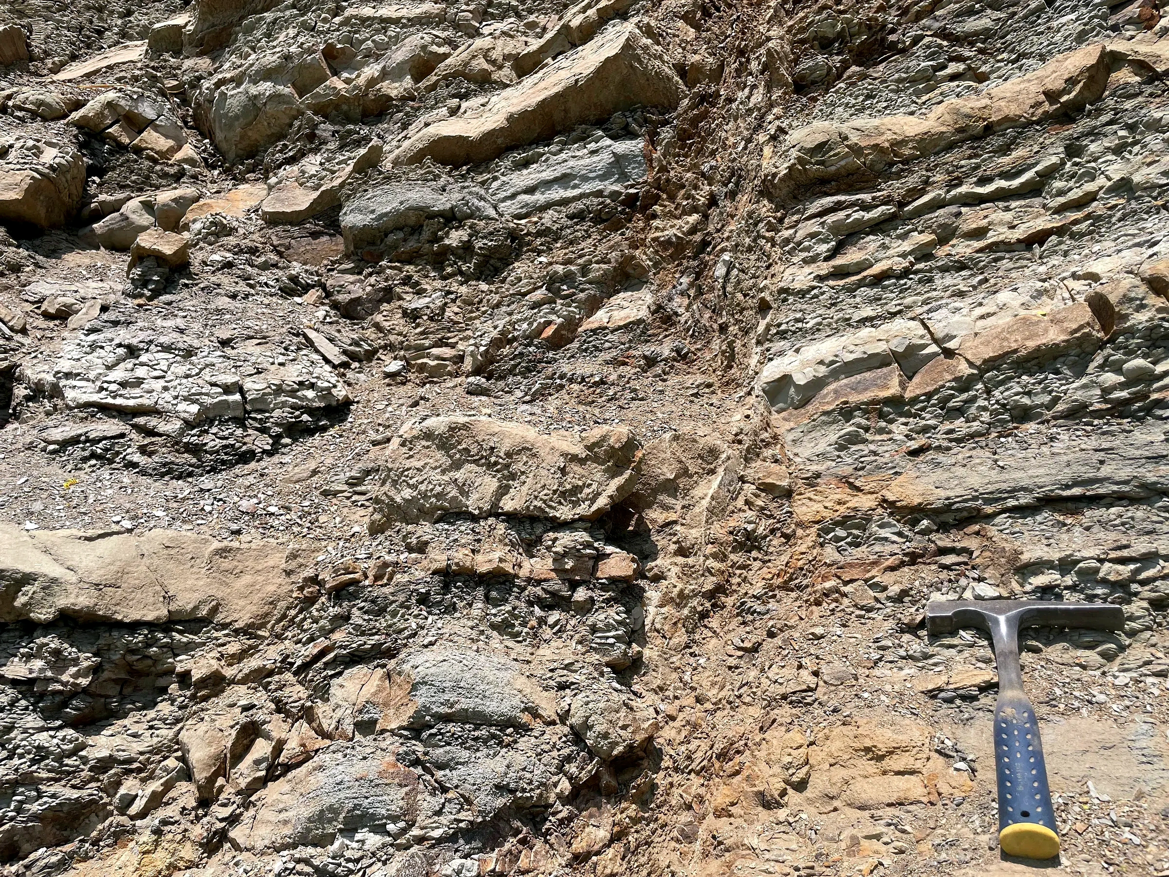
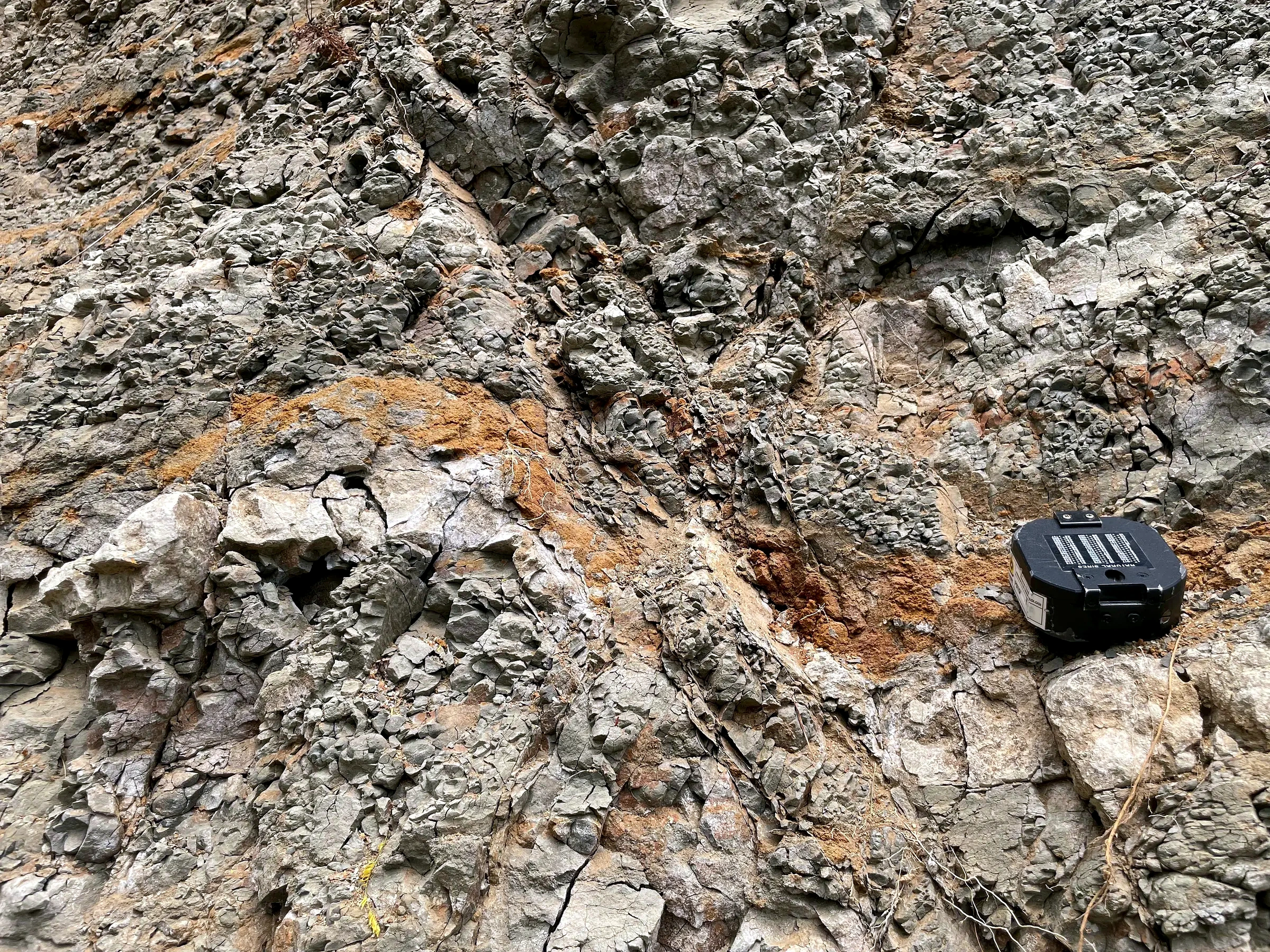
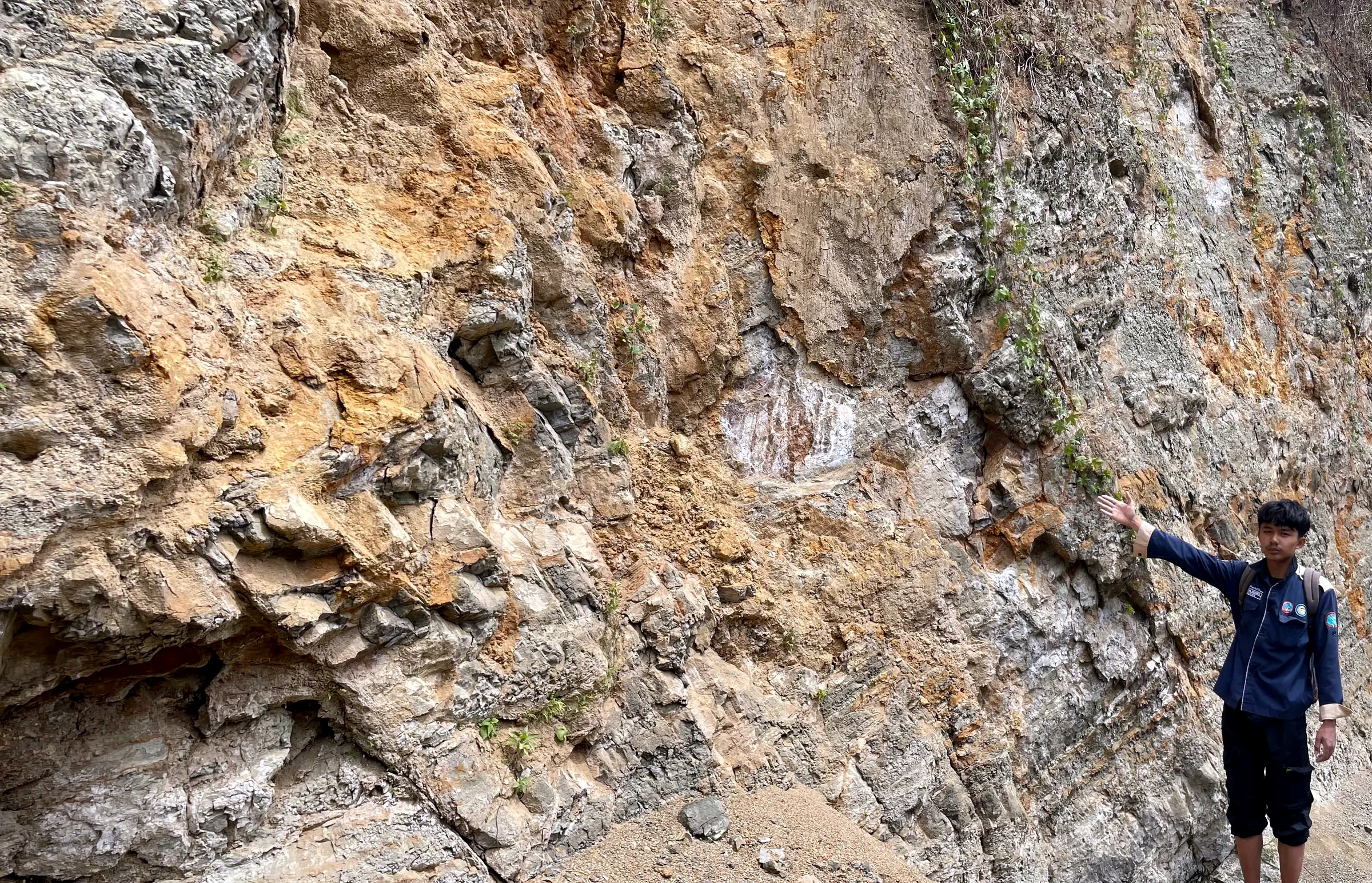
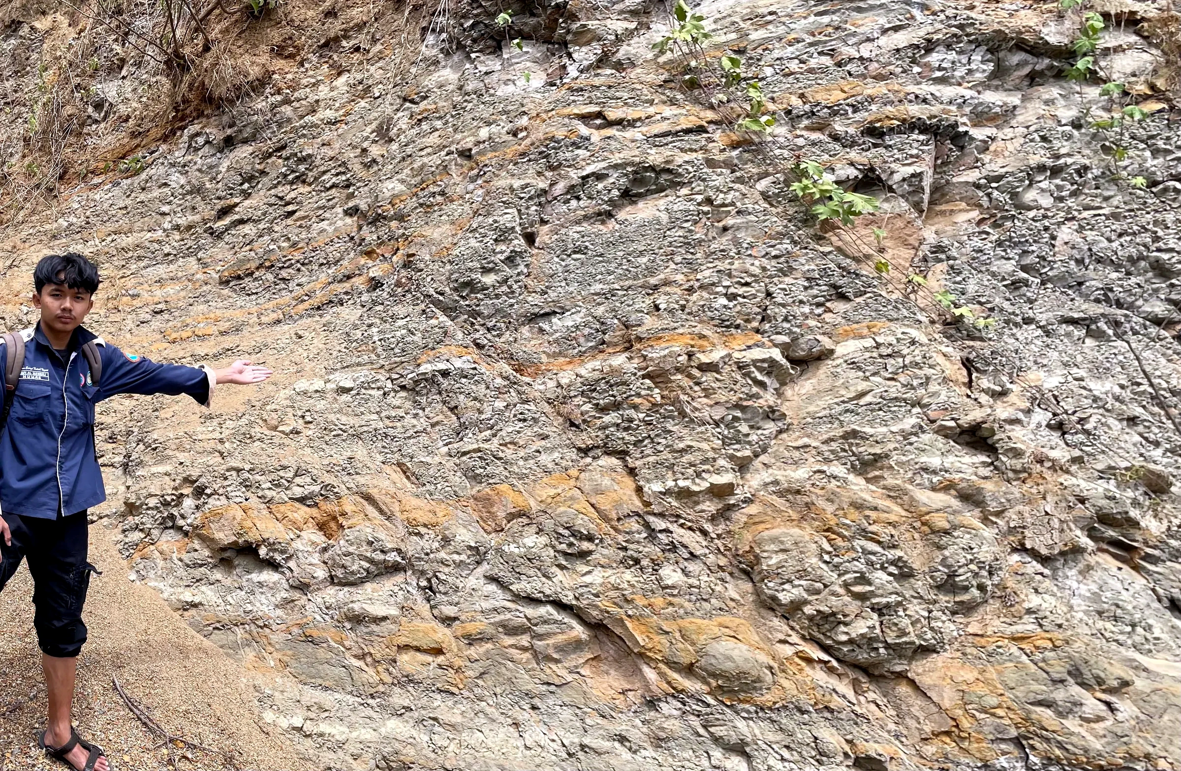
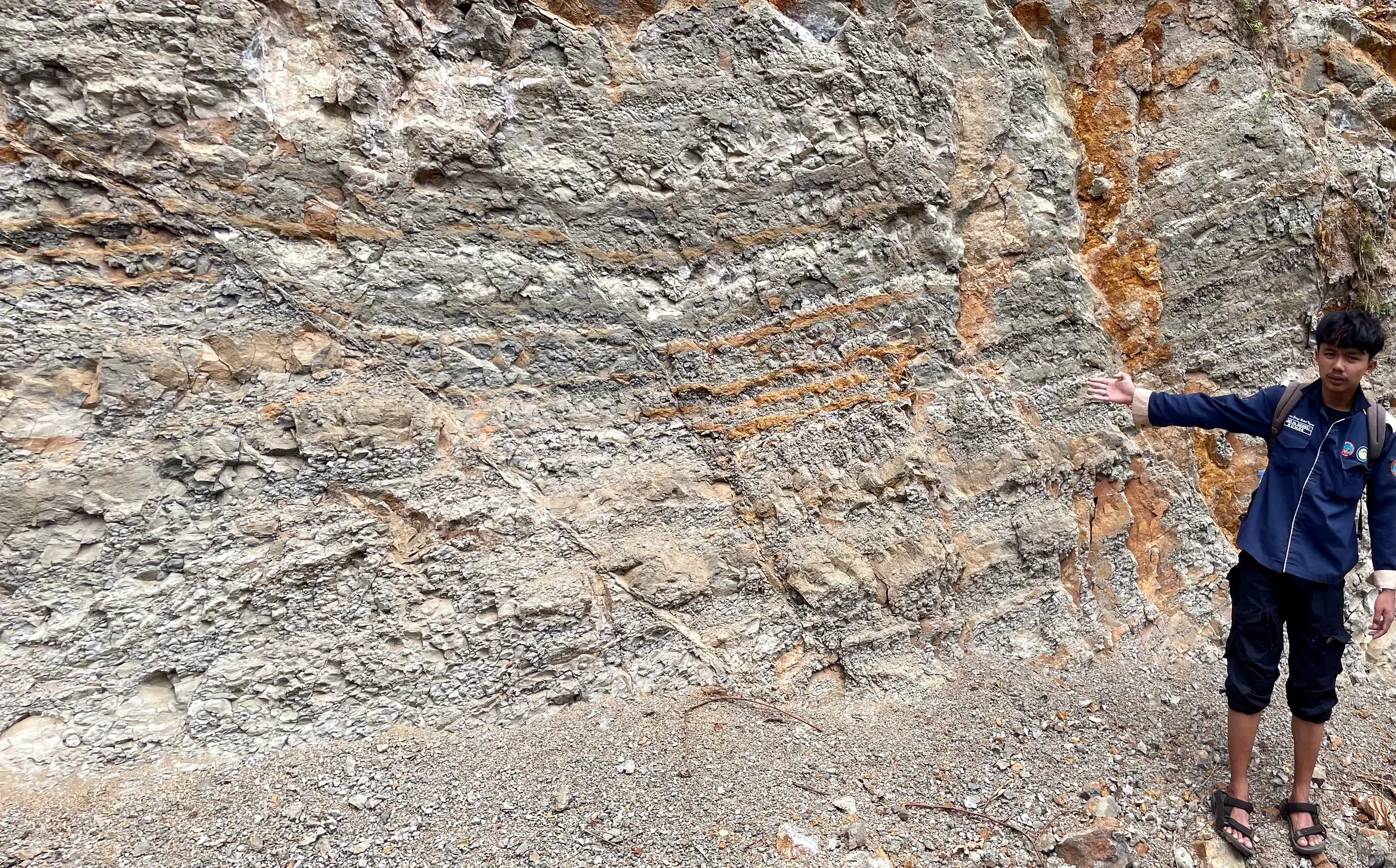
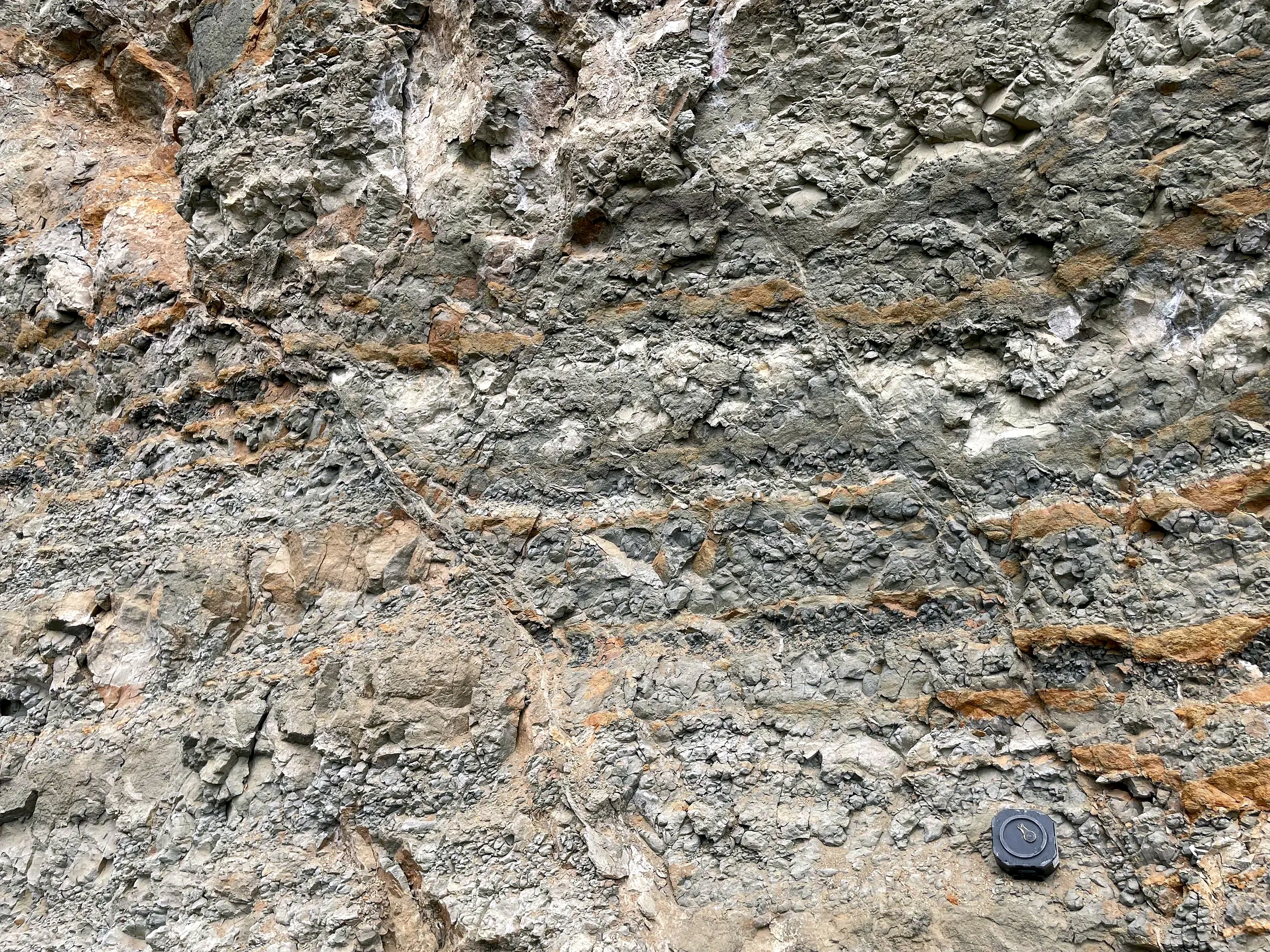
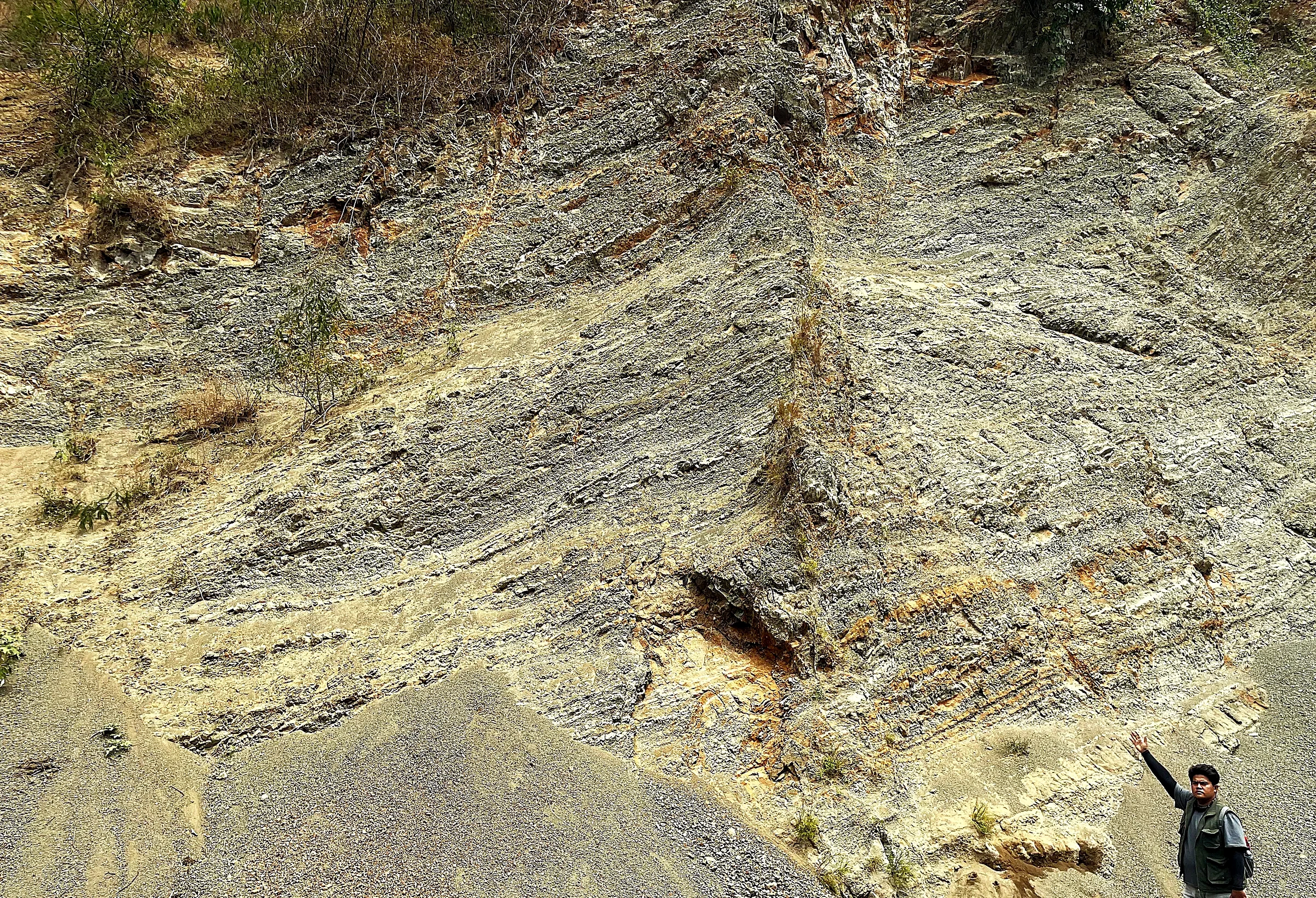
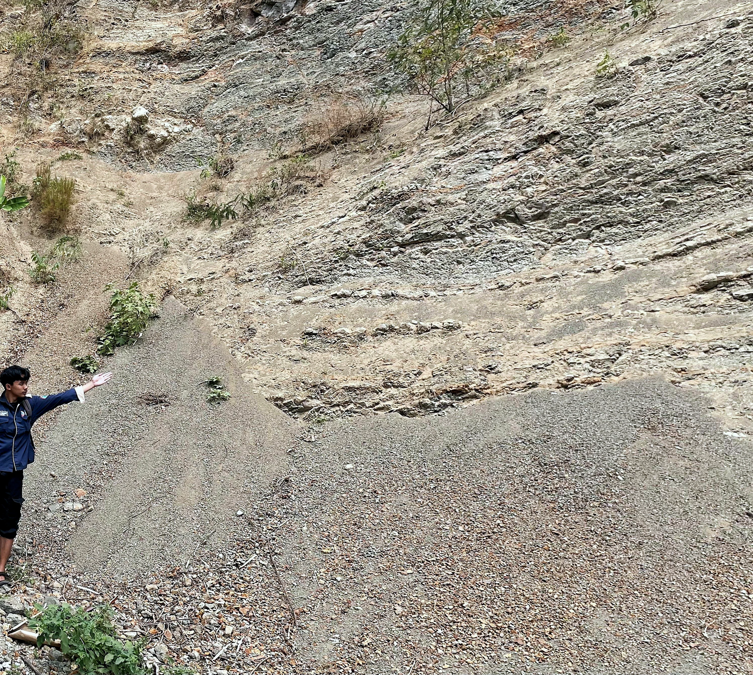
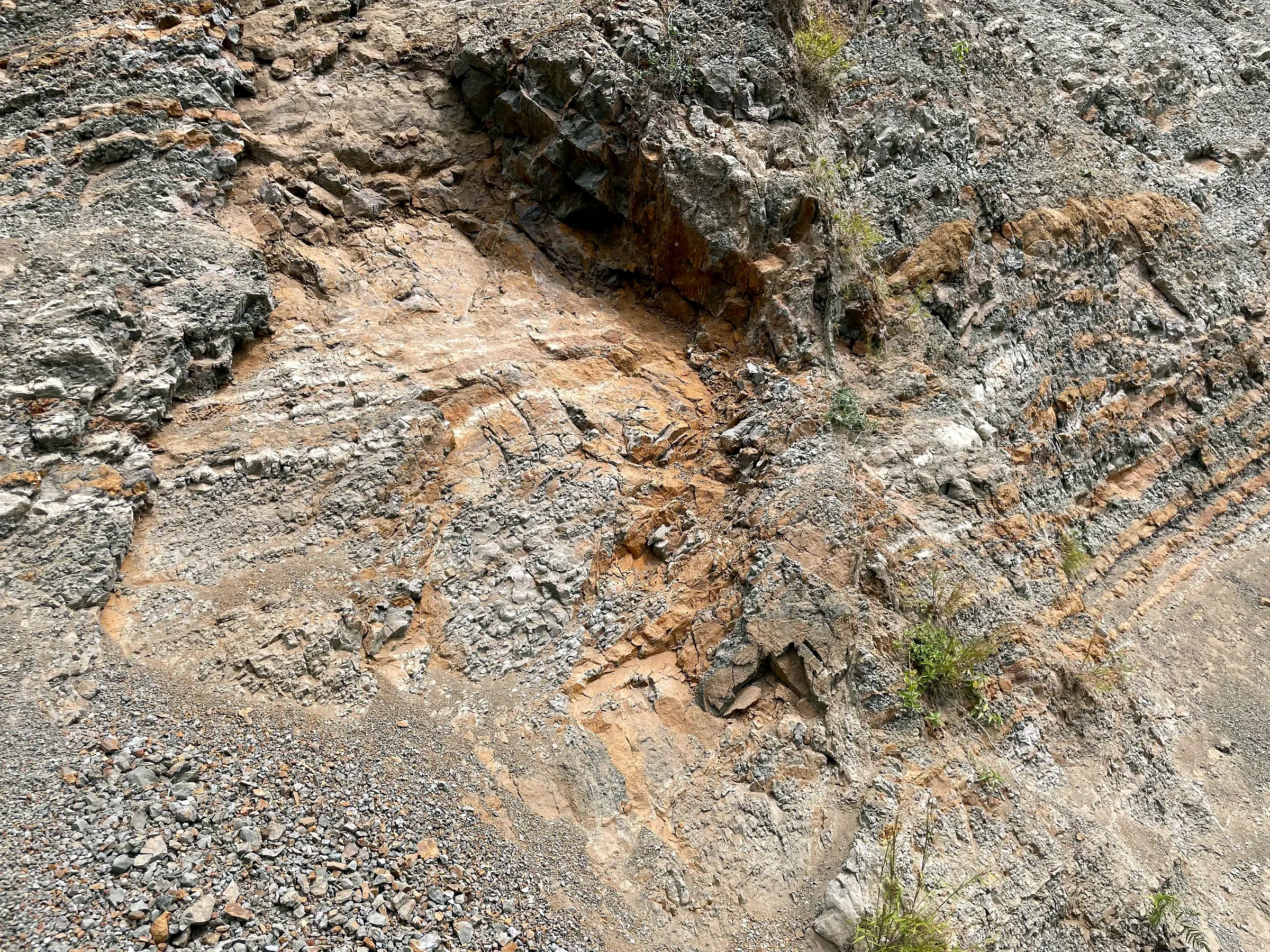
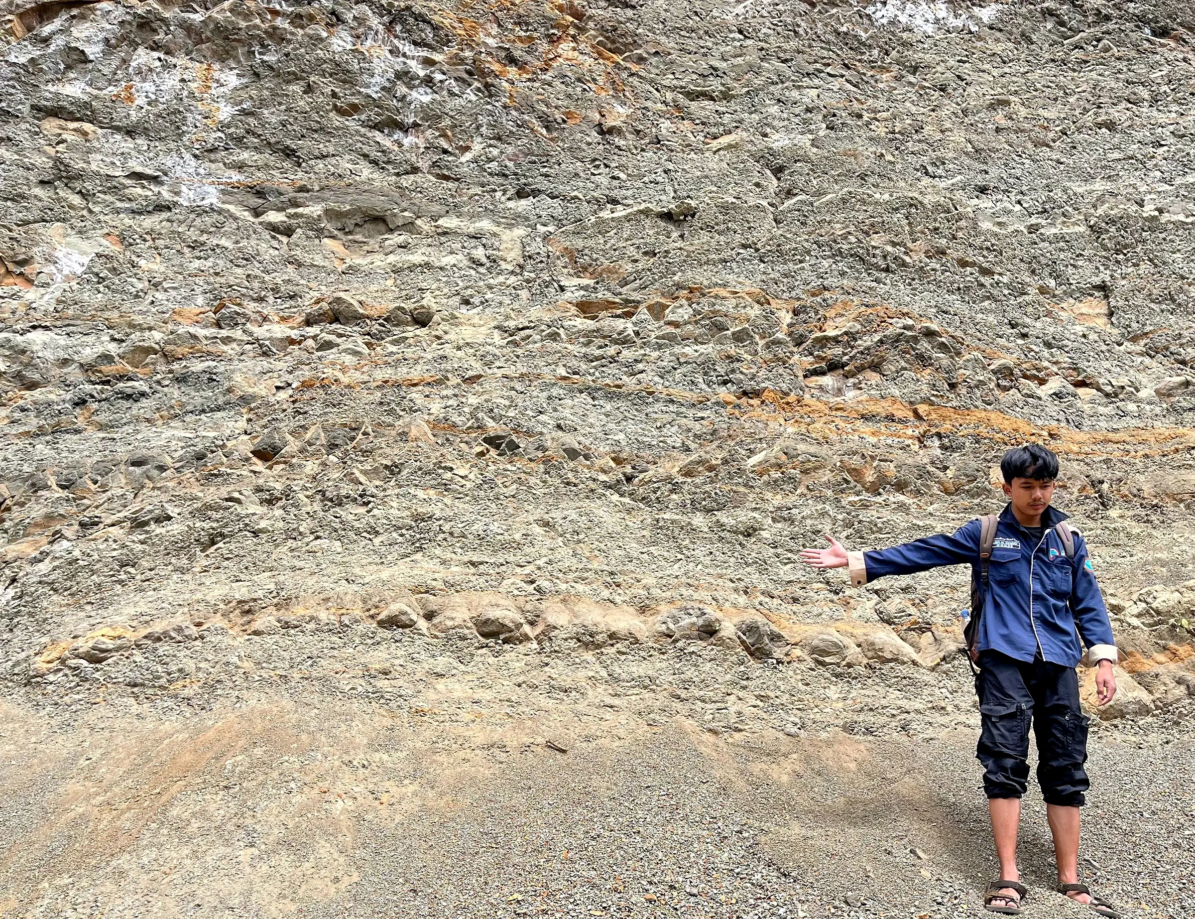
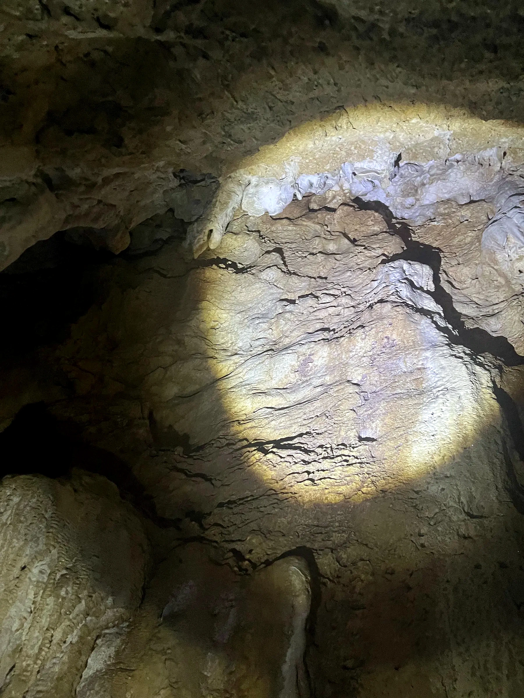
SOFTWARE WORKFLOWS
Each record explains the task shown and how I used that step in the wider workflow.
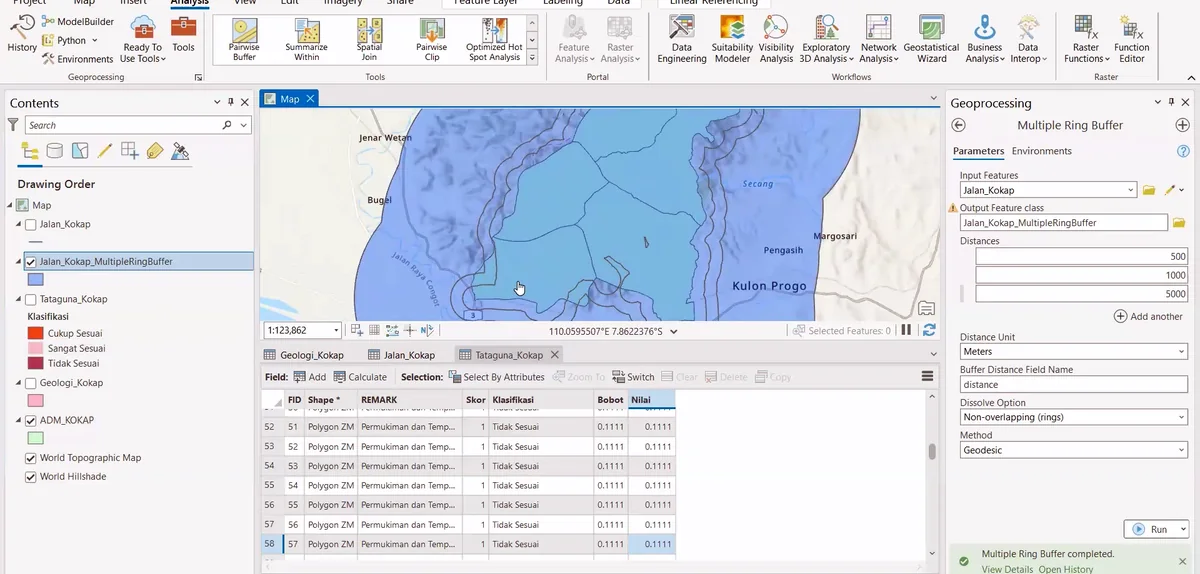
ArcGIS Pro project view showing layer organization and data inspection, with the working datasets and object tree prepared for the next step.
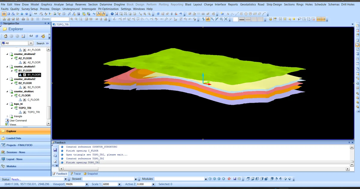
MineScape viewport during stratigraphic model inspection, with the geometry displayed for continuity and conflict checks.
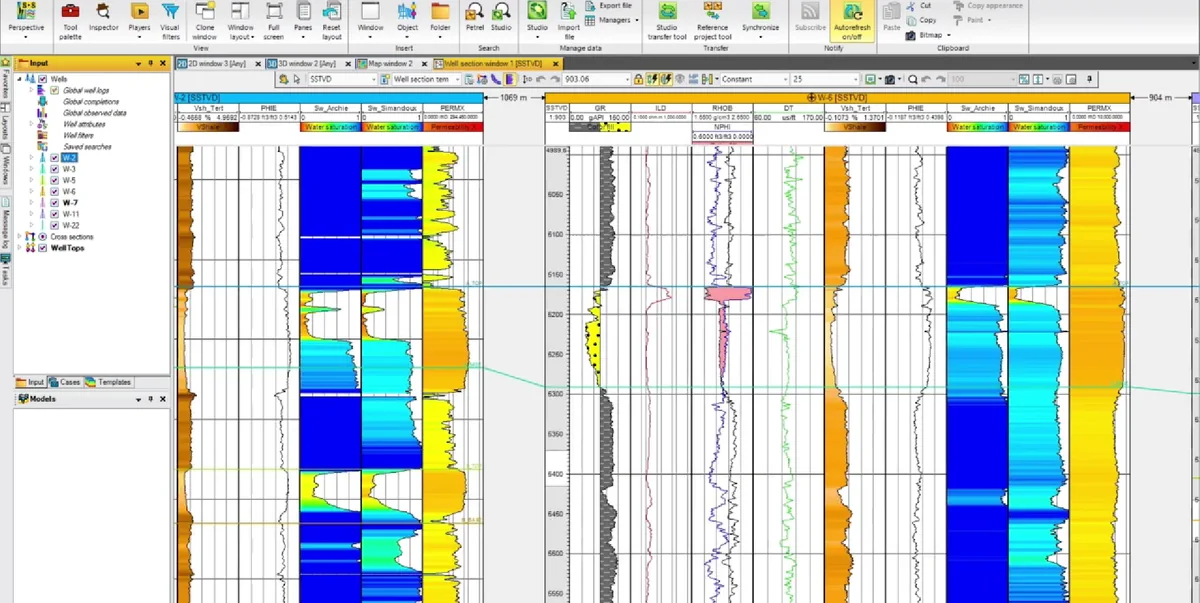
Petrel correlation or section panel showing multiwell correlation panel, with wells, markers or interpreted intervals displayed for comparison.
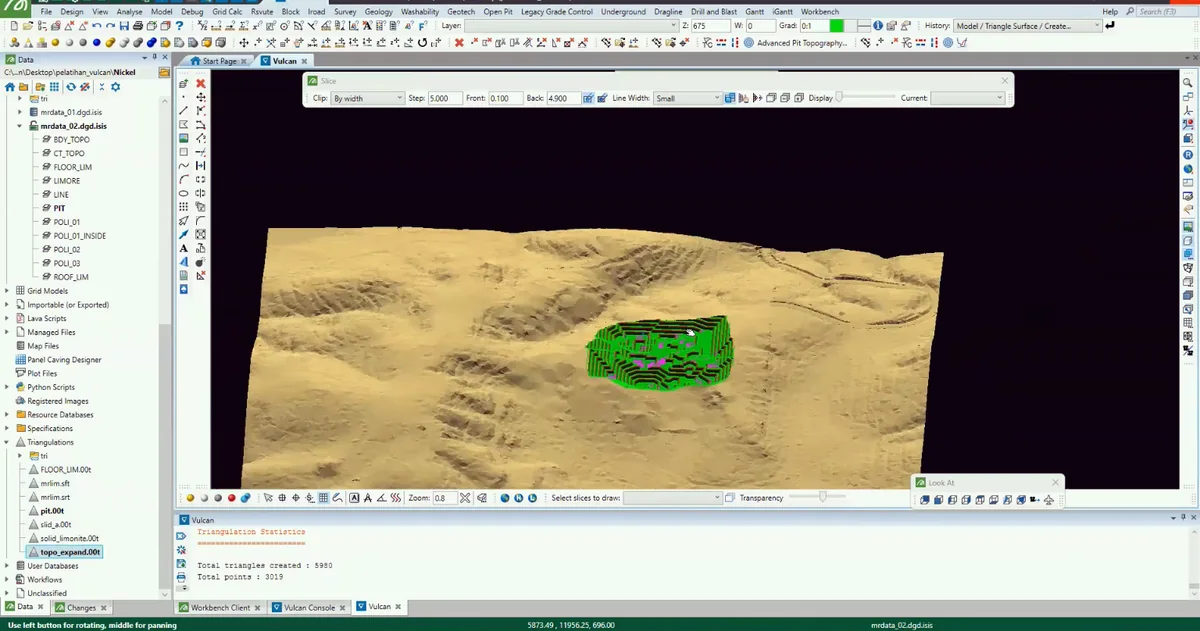
Maptek Vulcan three-dimensional view showing surface-model construction, with interpreted strings, surfaces or solids visible in the model.
PUBLICATION · CREDENTIALS · INDUSTRY EXPOSURE
Certificates, publications and visit documentation are presented with concise descriptions and direct source links.
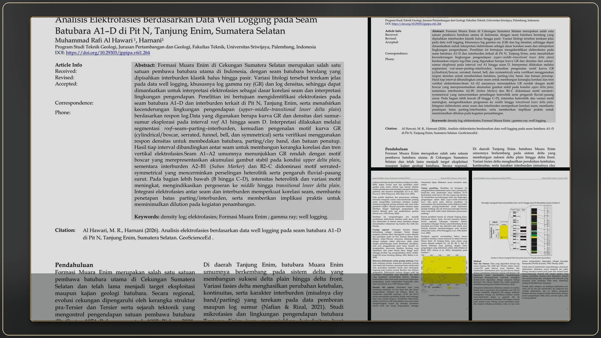 Publication and acceptance letter16 manuscript, acceptance and publication records
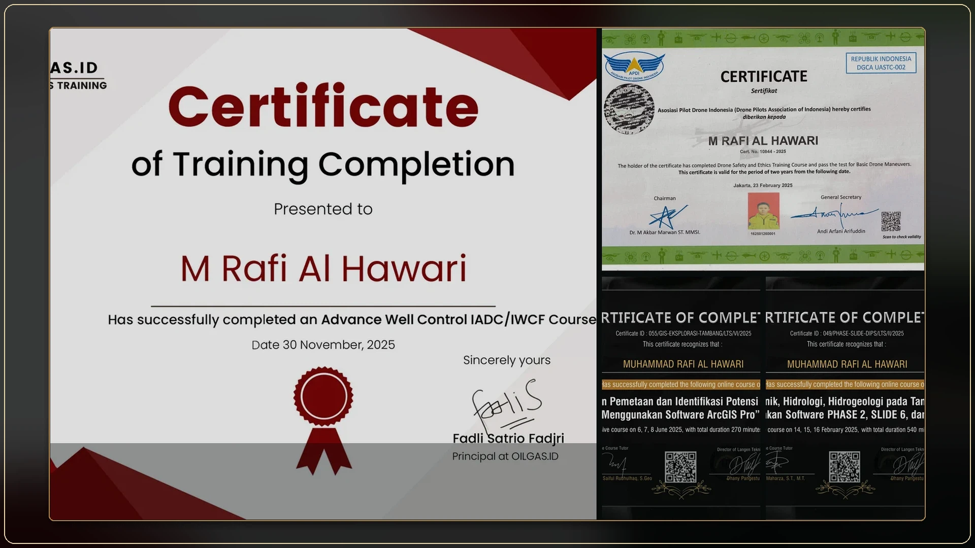 Certificates and training18 certificates and source documents
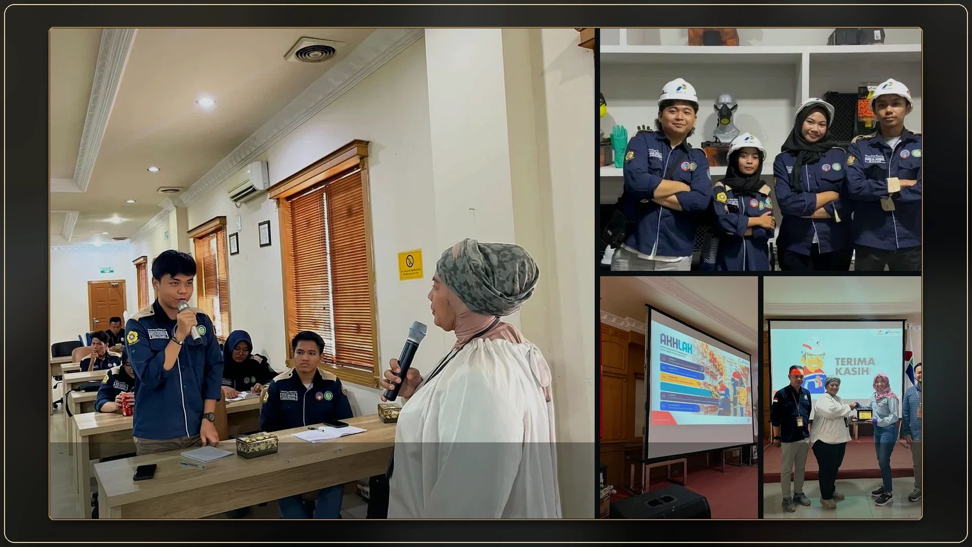 Pertamina visits and UAV training15 records covering event leadership, technical sessions and practical training
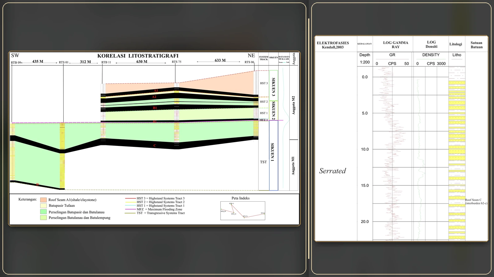 Well Log & Stratigraphic Appendices27 well-log and stratigraphic panels
COMPLETE EVIDENCE
The Evidence page works as a normal static page and does not rely on filters or hidden panels.
ROLE FIT
Each role area is tied to project records, report figures, software sequences or documentary evidence rather than unsupported claims.
Seam and interburden documentation, core/log correlation, coal-quality context, MineScape geological workflow and technical reporting.
Systematic traverses, stratigraphy, geomorphology, fault-zone documentation, petrography, fossils, maps and geological cross-sections.
Well correlation, Petrel horizon and fault interpretation, structural-framework review and formation-evaluation development pathways.
Transferable structural, subsurface, modelling and data-integration skills supported by Pertamina Geothermal Energy Ulubelu technical-visit exposure.
ArcGIS workflows, three-dimensional geological models, stereographic analysis, discontinuity assessment and Slide2 workflow practice.
Accepted manuscript, evidence-linked reporting, scientific figures, technical presentations, industry-event coordination and Organising Committee Chair experience.
CONTACT
CV, technical profile and complete project records are available from this site.